Old Maps of Gleason, Tennessee for Academic Research
Study the evolution of Gleason with 15 high-resolution historic maps. Whether you're teaching, researching, or modeling changes in land use, these maps provide essential visual documentation of urban, environmental, and geographic change.
- Analyze long-term change: Track patterns in development, transportation, and natural features.
- Ideal for environmental or urban studies: Support academic projects with primary historical map data.
- Use in the classroom or lab: Educators and researchers rely on these maps to bring historical context to life.
These maps are a powerful tool for teaching, research, and visualizing how Gleason has changed over the decades.
Gleason, TN maps
(15)- 1956 Map of Dyersburg, 1960 Print
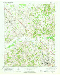
 1956 Dyersburg1960 Print · USGSThe Four Rivers region comes alive in the mid-fifties, capturing the intricate borderlands of Tennessee, Kentucky, and Missouri. Genealogists and historians can trace the rail-and-river networks connecting Dyersburg, Caruthersville, and the shoreline of Reelfoot Lake.4 unique versions available
 - 1967 Map of Pillowville, 1968 Print
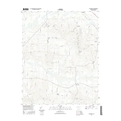
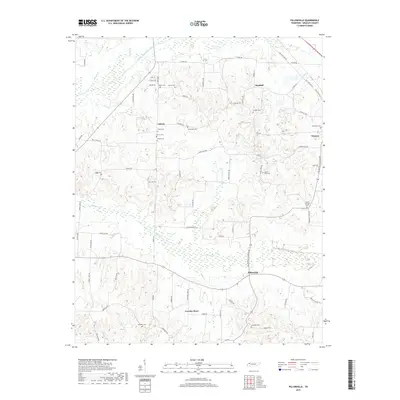
 1967 Pillowville1968 Print · USGSWeakley County farmland and clay mining operations define this West Tennessee landscape in the late sixties. Genealogists and local historians can trace family locations near Pillowville, Crowley Store, and several rural landmarks like Gearing Chapel and Hopewell Cem.3 unique versions available
 - 1967 Map of Mc Kenzie, 1969 Print
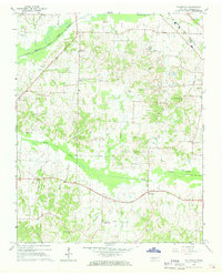
 1967 Mc Kenzie1969 Print · USGSThe rural landscape around McKenzie and Gleason is captured here in the late sixties, where three counties meet along the Louisville and Nashville line. Researchers can trace the grounds of Bethel College and find local landmarks like Tumbling Creek Cem and Everett Chapel.2 unique versions available
 - 1977 Map of McKenzie
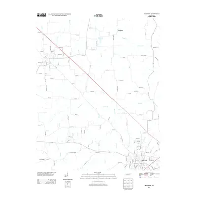
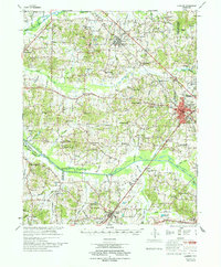 1977 McKenzie1977 Print · USGSWest Tennessee rail and river networks converge at McKenzie during the mid-seventies, showing the region's transition into the modern era. Genealogists and historians can trace family locations near Bethel College, the rural Stafford Store, or old country sites like Christmasville.
 - 1986 Map of McKenzie
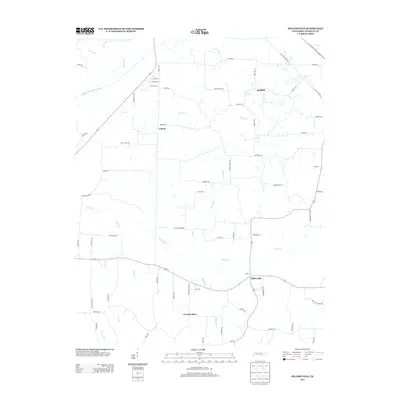
 1986 McKenzie1986 Print · USGSWest Tennessee in the mid-eighties was a landscape defined by its deep river forks and the massive waters of Kentucky Lake. Researchers can trace the rail lines of the Louisville & Nashville RR and find local landmarks from Skullbone to the Paris Landing State Park.3 unique versions available
 - 2010 Map of McKenzie, 2010 Print
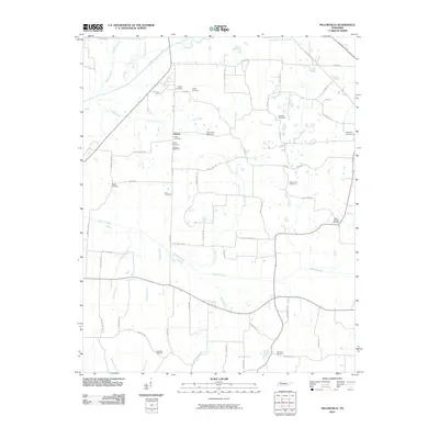
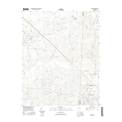
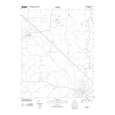 2010 McKenzie2010 Print · USGSCovers Gleason, including McKenzie, Greenhills, and other nearby areas
 - 2010 Map of Pillowville, 2010 Print
 2010 Pillowville2010 Print · USGSCovers Gleason, including Crowley Store, Liberty, and other nearby areas
 - 2013 Map of Pillowville, 2013 Print
 2013 Pillowville2013 Print · USGSCovers Gleason, including Crowley Store, Liberty, and other nearby areas
 - 2013 Map of McKenzie, 2013 Print
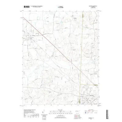
 2013 McKenzie2013 Print · USGSCovers Gleason, including McKenzie, Greenhills, and other nearby areas
 - 2016 Map of Pillowville, 2016 Print
 2016 Pillowville2016 Print · USGSCovers Gleason, including Crowley Store, Liberty, and other nearby areas
 - 2016 Map of McKenzie, 2016 Print
 2016 McKenzie2016 Print · USGSCovers Gleason, including McKenzie, Greenhills, and other nearby areas
 - 2019 Map of Pillowville, 2019 Print
 2019 Pillowville2019 Print · USGSCovers Gleason, including Crowley Store, Liberty, and other nearby areas
 - 2019 Map of McKenzie, 2019 Print
 2019 McKenzie2019 Print · USGSCovers Gleason, including McKenzie, Greenhills, and other nearby areas
 - 2022 Map of Pillowville, 2022 Print
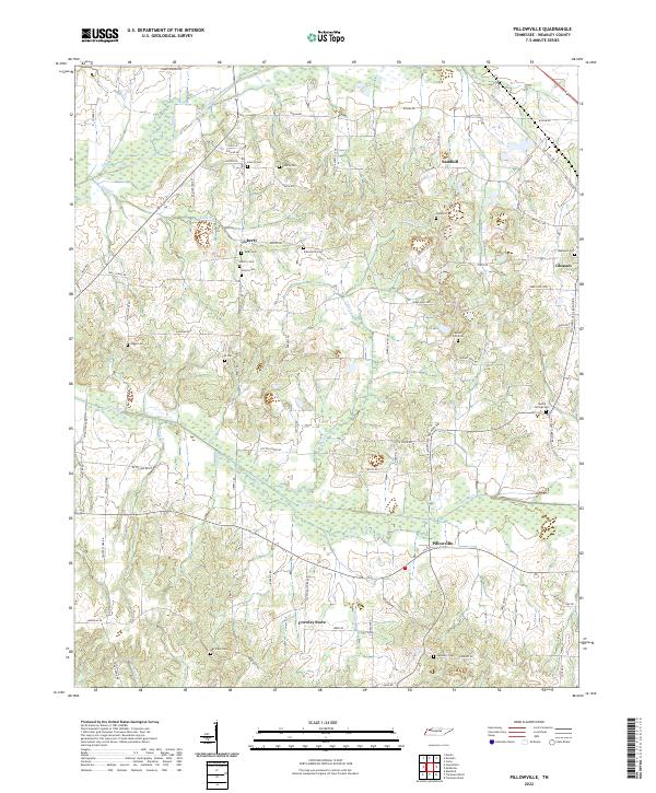 2022 Pillowville2022 Print · USGSWeakley County settlement and river drainage are detailed here in this recent survey of the Tennessee interior. Researchers can trace family history through numerous rural landmarks like Sandhill, Crowley Store, and local burial grounds including Beech Springs Cem.
 - 2022 Map of McKenzie, 2022 Print
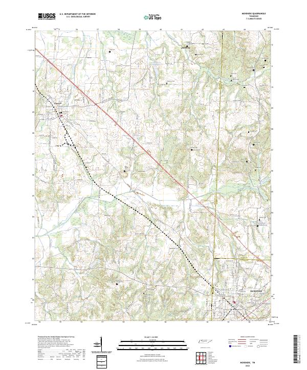 2022 McKenzie2022 Print · USGSNorthwest Tennessee’s rural landscapes are captured here in the early twenty-first century as the borders of Weakley, Henry, and Carroll counties meet. Genealogists and local historians can trace family ties through numerous landmarks like Bethel University, Everett Chapel Cem, and Smyth Cem.
End of results
Showing maps 1-15 of 15
Top cities near Gleason
- Martin historical maps
- McKenzie historical maps
- Huntingdon historical maps
- Dresden historical maps
- Greenfield historical maps
- Bradford historical maps
See more
Frequently asked questions
- What are the different types of historical maps available for Gleason?
- What is the oldest map of Gleason?
- Where can I purchase historical maps of Gleason for my home or office?
- Where can I download high-res historical maps of Gleason?
- Are there historical topographic maps available for Gleason?
- Is there historical aerial imagery available for Gleason?
- Where are historical maps of Gleason sourced from?