2020s Maps of Martin, Tennessee
Explore 2 historic maps of Martin from the 2020s. These maps offer a rare glimpse into what life looked like during the 2020s — showing old roads, neighborhoods, homes, and landmarks that have changed or disappeared over time.
Whether you're researching your family's past, planning a metal detecting trip, or studying how Martin's landscape evolved across the 2020s, these high-resolution maps are a powerful tool for exploring the history of this region.
- Focus on a specific era: All maps on this page are from the 2020s, giving you a focused view of this time period.
- See what’s changed: Compare century-old streets, trails, and buildings to today's modern landscape using overlays and satellite layers.
- Research with precision: Use these maps for genealogy, historical research, land use analysis, or educational projects.
- View, download, or print: Maps are fully viewable online in high resolution, and can be downloaded or printed for your own records.
Start exploring Martin's history through authentic maps from the 2020s. This is your window into the past.
Martin, TN maps
(2)- 2022 Map of Gardner, 2022 Print
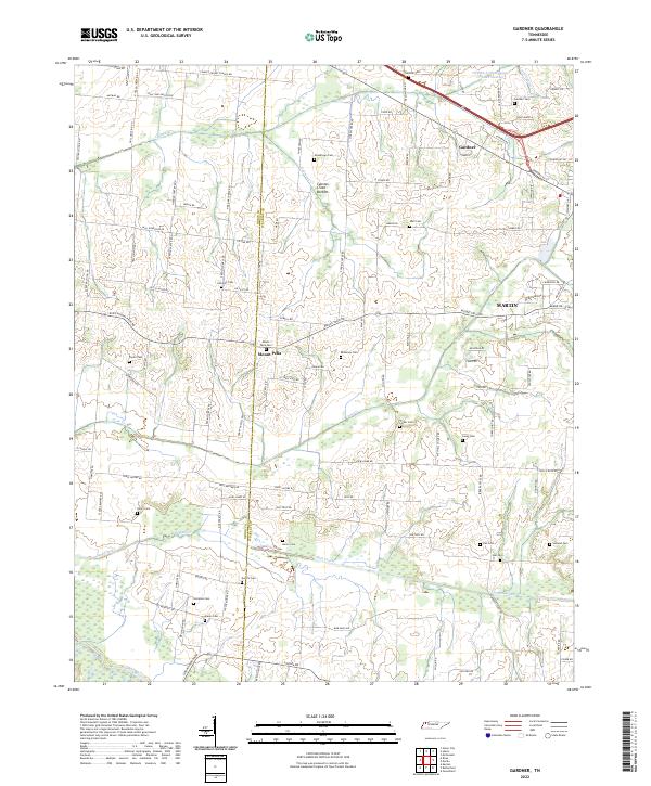 2022 Gardner2022 Print · USGSThe borderlands of Obion and Weakley counties come into focus in this recent survey of rural Tennessee. Genealogists can trace family landmarks through more than a dozen local burial sites such as Callicott Cem, McKinney Cem, and Holland Cem near Mount Pelia.
 - 2022 Map of Martin, 2022 Print
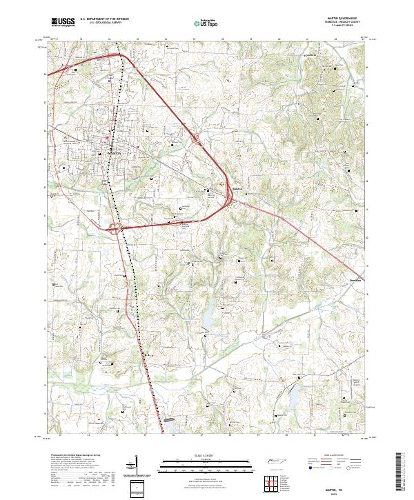 2022 Martin2022 Print · USGSWeakley County at the start of the 2020s shows a landscape where university life and rural heritage intersect. Genealogists can trace family lines through dozens of burial sites including Yellow Fever Cem, Old Salem Cem, and the Rice - Underwood Cem.
End of results
Showing maps 1-2 of 2
Top cities near Martin
- Union City historical maps
- Dresden historical maps
- Fulton historical maps
- South Fulton historical maps
- Greenfield historical maps
- Gleason historical maps
See more
Frequently asked questions
- What are the different types of historical maps available for Martin?
- What is the oldest map of Martin?
- Where can I purchase historical maps of Martin for my home or office?
- Where can I download high-res historical maps of Martin?
- Are there historical topographic maps available for Martin?
- Is there historical aerial imagery available for Martin?
- Where are historical maps of Martin sourced from?