Old Maps of White House, Tennessee for Genealogy
Trace your family roots with 25 historic maps of White House. These high-res maps reveal old neighborhoods, homesites, landmarks, and streets — helping you uncover where your ancestors lived and how the area evolved over time.
- Explore historic neighborhoods: Identify where your relatives may have lived in the 1800s or 1900s.
- Compare maps over time: Trace the changes in streets, buildings, and landmarks for multi-generational research.
- Perfect for genealogy & ancestry research: Used by family historians and researchers to map out lineage and migration.
These maps are an incredible resource for exploring your personal connection to White House's past.
White House, TN maps
(25)- 1903 Map of Nashville
 1903 Nashville1903 Print · USGSTennessee's capital region is captured at the dawn of the 1900s, when iron pikes and river locks dominated local commerce. Trace ancestral routes along Stewarts Ferry Pike, find rural landmarks like Curry Mill, or locate historical sites like The Hermitage.4 unique versions available
 - 1942 Map of Gallatin
 1942 Gallatin1942 Print · USGSThe Tennessee-Kentucky borderlands were a crossroads of river and rail during the early war years. Genealogists and historians can trace family roots through dozens of named settlements like Bethpage, Prices Mill, and Mitchellville, or locate historic river crossings such as Kirkpatricks Ferry.
 - 1953 Map of Cottontown, 1955 Print
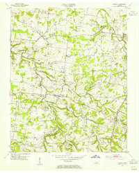
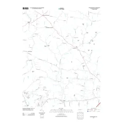
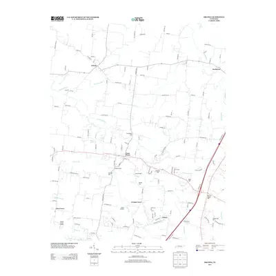
 1953 Cottontown1955 Print · USGSIn the early 1950s, Sumner County remained a patchwork of ridge-top farms and creek-bottom settlements. Genealogists and historians can trace family roots through dozens of local landmarks like Johnsons Crossroads, Little Bethel Church, and the Old Indian Cem.3 unique versions available
 - 1953 Map of Orlinda, 1955 Print
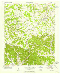
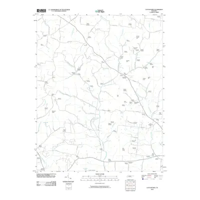
 1953 Orlinda1955 Print · USGSUpper Middle Tennessee near the Kentucky border comes to life in this mid-century survey of rural Robertson and Sumner counties. Genealogists can trace family names through sites like Kilgore Station, Jamestown School, and dozens of family plots like Traughber Cem.3 unique versions available
 - 1954 Map of White House, 1955 Print
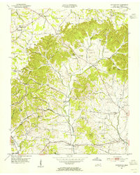
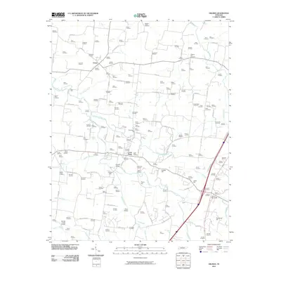
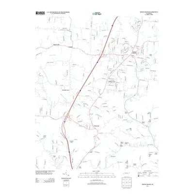
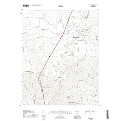
 1954 White House1955 Print · USGSThe Tennessee borderlands of Robertson and Sumner counties are captured here in the mid-1950s. Family researchers can trace dozens of homesteads and burial grounds like the Strickland Cem, alongside landmarks such as Indian Cave and White House.4 unique versions available
 - 1956 Map of Nashville, 1971 Print
 1956 Nashville1971 Print · USGSThe Tennessee-Kentucky borderlands come into focus in the mid-1960s as major reservoir projects transformed the Cumberland and Tennessee river valleys. Researchers can trace the rail networks of the Louisville and Nashville and visit sites like Fort Campbell and Fort Donelson National Military Park.2 unique versions available
 - 1959 Map of Nashville
 1959 Nashville1959 Print · USGSMiddle Tennessee and Southern Kentucky come into focus during the late fifties, showing the region's transition into a modern transportation and military hub. Researchers can trace the sprawling Fort Campbell Military Reservation or locate historic rail stops along the Tennessee Central Ry and Illinois Central RR.
 - 1984 Map of Nashville, 1985 Print
 1984 Nashville1985 Print · USGSMiddle Tennessee in the mid-1980s reveals a region balancing urban expansion with its deep river-valley roots. Genealogists and historians can trace family locations near Old Hickory Lake, explore the grounds of Vanderbilt University, or locate ancestral sites like Greenwood Cem.
 - 1985 Map of Bowling Green
 1985 Bowling Green1985 Print · USGSThe rolling borderlands of Kentucky and Tennessee are captured here in the mid-eighties, showing a landscape shaped by the Barren River and deep-rooted rail networks. Genealogists and researchers can trace local landmarks like Prices Mill, Highland Academy, and Green Lawn Cem.3 unique versions available
 - 1994 Map of Cottontown, 1997 Print
 1994 Cottontown1997 Print · USGSSumner County in the mid-nineties remains a landscape of deep family roots and rural crossroads. Researchers can trace historic sites like the Sumner County Home, Fairmont Sch, and numerous family plots such as the Pitt-Bursby Cem.
 - 2010 Map of Orlinda, 2010 Print
 2010 Orlinda2010 Print · USGSCovers White House, including Cross Plains, Orlinda, and other nearby areas
 - 2010 Map of Cottontown, 2010 Print
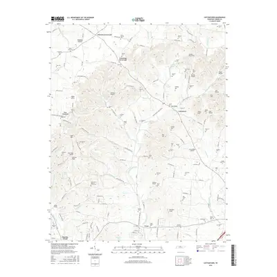
 2010 Cottontown2010 Print · USGSCovers White House, including Gallatin, Johnsons Crossroads, and other nearby areas
 - 2010 Map of White House, 2010 Print
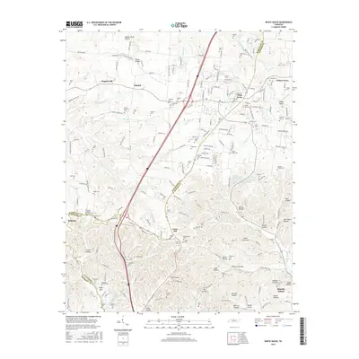
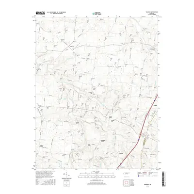
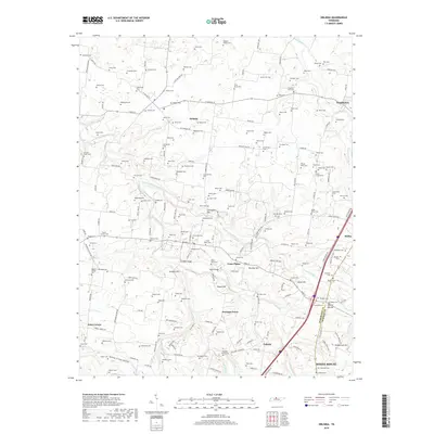
 2010 White House2010 Print · USGSCovers White House, including Nashville, Goodlettsville, and other nearby areas
 - 2013 Map of Cottontown, 2013 Print
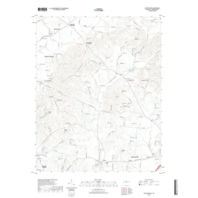
 2013 Cottontown2013 Print · USGSCovers White House, including Gallatin, Johnsons Crossroads, and other nearby areas
 - 2013 Map of White House, 2013 Print
 2013 White House2013 Print · USGSCovers White House, including Nashville, Goodlettsville, and other nearby areas
 - 2013 Map of Orlinda, 2013 Print
 2013 Orlinda2013 Print · USGSCovers White House, including Cross Plains, Orlinda, and other nearby areas
 - 2016 Map of White House, 2016 Print
 2016 White House2016 Print · USGSCovers White House, including Nashville, Goodlettsville, and other nearby areas
 - 2016 Map of Cottontown, 2016 Print
 2016 Cottontown2016 Print · USGSCovers White House, including Gallatin, Johnsons Crossroads, and other nearby areas
 - 2016 Map of Orlinda, 2016 Print
 2016 Orlinda2016 Print · USGSCovers White House, including Cross Plains, Orlinda, and other nearby areas
 - 2019 Map of Orlinda, 2019 Print
 2019 Orlinda2019 Print · USGSCovers White House, including Cross Plains, Orlinda, and other nearby areas
 - 2019 Map of Cottontown, 2019 Print
 2019 Cottontown2019 Print · USGSCovers White House, including Gallatin, Johnsons Crossroads, and other nearby areas
 - 2019 Map of White House, 2019 Print
 2019 White House2019 Print · USGSCovers White House, including Nashville, Goodlettsville, and other nearby areas
 - 2022 Map of White House, 2022 Print
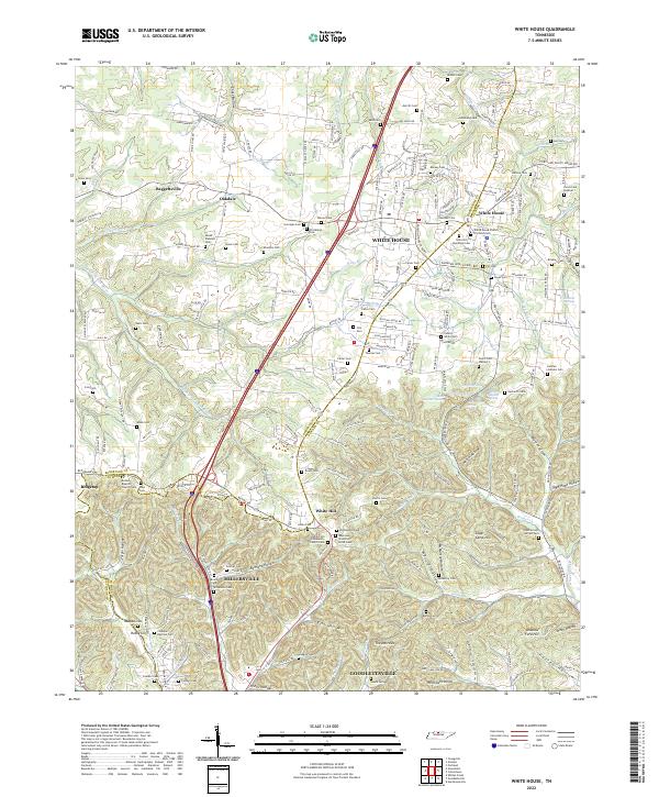 2022 White House2022 Print · USGSCovers White House, including Nashville, Goodlettsville, and other nearby areas
 - 2022 Map of Cottontown, 2022 Print
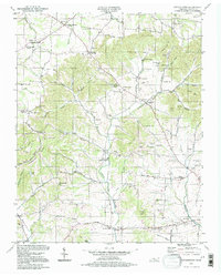
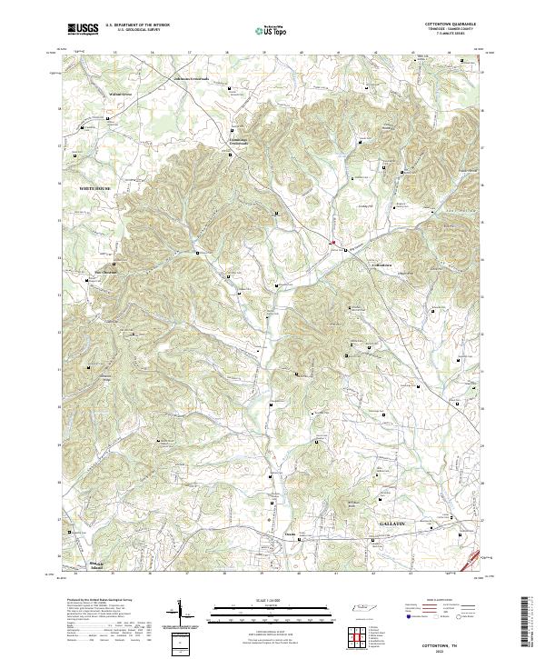 2022 Cottontown2022 Print · USGSThe rural uplands of Sumner County are captured here during a period of steady growth north of the Cumberland River. Researchers can trace ancestral lands and family burial plots through sites like the Old Indian Cem, Two Chestnut, and Strother - Mitchell Cem.
 - 2022 Map of Orlinda, 2022 Print
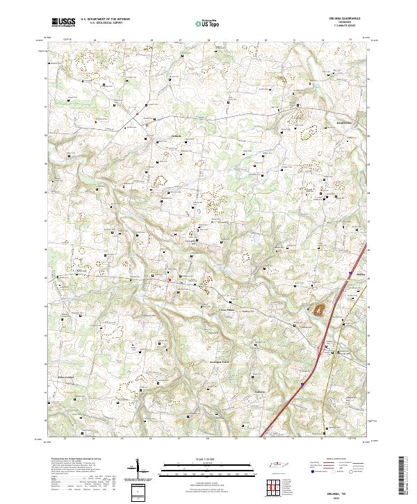 2022 Orlinda2022 Print · USGSUpper middle Tennessee farmland along the Kentucky border remains anchored by its historic cemeteries and small crossroads communities. Genealogists can trace family lines across dozens of rural burial sites like Traughber Cem and Long Payne Cem near Orlinda.
End of results
Showing maps 1-25 of 25
Top cities near White House
- Nashville historical maps
- Hendersonville historical maps
- Gallatin historical maps
- Lebanon historical maps
- Goodlettsville historical maps
- Springfield historical maps
See more
Top neighborhoods of White House
Frequently asked questions
- What are the different types of historical maps available for White House?
- What is the oldest map of White House?
- Where can I purchase historical maps of White House for my home or office?
- Where can I download high-res historical maps of White House?
- Are there historical topographic maps available for White House?
- Is there historical aerial imagery available for White House?
- Where are historical maps of White House sourced from?