Old Maps of Fairview Heights, Fairview for Academic Research
Study the evolution of Fairview Heights with 10 high-resolution historic maps. Whether you're teaching, researching, or modeling changes in land use, these maps provide essential visual documentation of urban, environmental, and geographic change.
- Analyze long-term change: Track patterns in development, transportation, and natural features.
- Ideal for environmental or urban studies: Support academic projects with primary historical map data.
- Use in the classroom or lab: Educators and researchers rely on these maps to bring historical context to life.
These maps are a powerful tool for teaching, research, and visualizing how Fairview Heights has changed over the decades.
Fairview Heights, Fairview maps
(10)- 1901 Map of Colombia
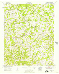
 1901 Colombia1901 Print · USGSMiddle Tennessee at the close of the century reveals a landscape shaped by river bends and a dense network of turnpikes. Genealogists can trace family roots through settlements like Santa Fe and Warner or locate landmarks such as the U.S. Arsenal and Zion Ch.3 unique versions available
 - 1936 Map of Craigfield
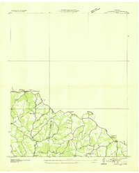 1936 Craigfield1936 Print · USGSThe Hickman and Williamson county border comes alive in the mid-1930s, showing a rural Tennessee landscape defined by narrow creek valleys and the Basin Divide. Genealogists can locate family-named sites like McCord Cem, Tidwell Sch, and Shady Grove Ch.
 - 1953 Map of Craigfield, 1957 Print
 1953 Craigfield1957 Print · USGSMiddle Tennessee rural life is captured here in the early fifties, where the borders of three counties meet along the Tennessee Valley Divide. Genealogists can trace family names through dozens of sites like the Cunningham Cem, Lampley Sch, and Emanuel Fairview Ch.3 unique versions available
 - 1956 Map of Columbia, 1960 Print
 1956 Columbia1960 Print · USGSMiddle Tennessee in the mid-fifties presents a landscape of established river towns and critical rail hubs before the arrival of the modern interstate system. Researchers can trace the routes of the Louisville and Nashville railroad or locate historic landmarks like Stones River National Military Park and the Tennessee National Wildlife Refuge.6 unique versions available
 - 1986 Map of Hohenwald
 1986 Hohenwald1986 Print · USGSThe Western Highland Rim of Tennessee comes into focus during the mid-eighties, showing the deep river valleys and high ridges of Lewis and Perry counties. Researchers can trace the path of the Natchez Trace Parkway or locate interior settlements like Chestnut Grove, Farmers Exchange, and Hustburg.3 unique versions available
 - 2010 Map of Craigfield, 2010 Print
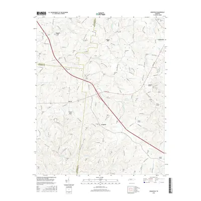
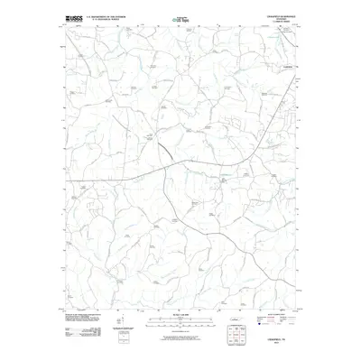 2010 Craigfield2010 Print · USGSCovers Fairview Heights, including Fairview, Spencers Mill, and other nearby areas
 - 2013 Map of Craigfield, 2013 Print
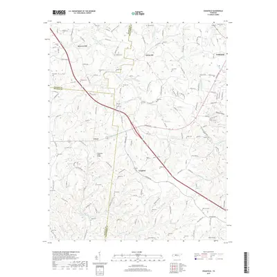
 2013 Craigfield2013 Print · USGSCovers Fairview Heights, including Fairview, Spencers Mill, and other nearby areas
 - 2016 Map of Craigfield, 2016 Print
 2016 Craigfield2016 Print · USGSCovers Fairview Heights, including Fairview, Spencers Mill, and other nearby areas
 - 2019 Map of Craigfield, 2019 Print
 2019 Craigfield2019 Print · USGSCovers Fairview Heights, including Fairview, Spencers Mill, and other nearby areas
 - 2022 Map of Craigfield, 2022 Print
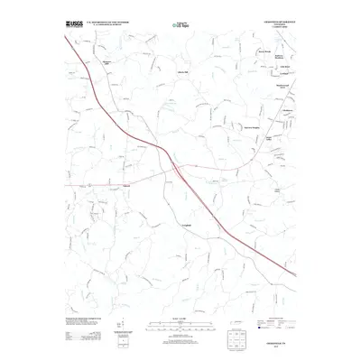
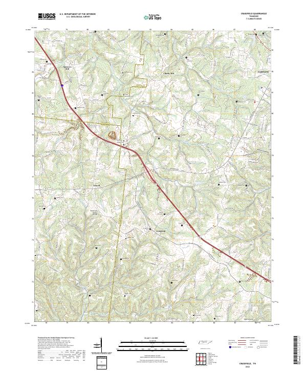 2022 Craigfield2022 Print · USGSMid-state Tennessee ridge country comes into focus here during the early twenty-first century, showing the rural communities between the forks of the Turnbull and Harpeth. Genealogists can trace family burial sites like Jack Lampley Cem and Tomlinson Cem near Craigfield.
End of results
Showing maps 1-10 of 10
Top cities near Fairview Heights
- Nashville historical maps
- Franklin historical maps
- Spring Hill historical maps
- Dickson historical maps
- Fairview historical maps
- White Bluff historical maps
See more
Frequently asked questions
- What are the different types of historical maps available for Fairview Heights?
- What is the oldest map of Fairview Heights?
- Where can I purchase historical maps of Fairview Heights for my home or office?
- Where can I download high-res historical maps of Fairview Heights?
- Are there historical topographic maps available for Fairview Heights?
- Is there historical aerial imagery available for Fairview Heights?
- Where are historical maps of Fairview Heights sourced from?