Old Maps of Fairview, Tennessee for Hiking & Exploration
Hike through history with 33 historic maps of Fairview. Explore old trails, ghost towns, and forgotten backroads — perfect for outdoor adventurers and local explorers.
- Rediscover forgotten places: Map out old mining camps, roads, and footpaths that no longer exist on modern maps.
- Layer with modern tools: Combine with LiDAR or satellite views to plan hikes through historical terrain.
- Made for exploration: Popular among hikers, overlanders, and local history lovers.
Use these maps to find adventure and explore the hidden past of Fairview.
Fairview, TN maps
(33)- 1901 Map of Colombia
 1901 Colombia1901 Print · USGSMiddle Tennessee at the close of the century reveals a landscape shaped by river bends and a dense network of turnpikes. Genealogists can trace family roots through settlements like Santa Fe and Warner or locate landmarks such as the U.S. Arsenal and Zion Ch.3 unique versions available
 - 1930 Map of White Bluff, 1953 Print
 1930 White Bluff1953 Print · USGSMiddle Tennessee in the 1930s is defined by the serpentine bends of the Harpeth River and the steam-era dominance of the Nashville Chattanooga and St Louis RR. Genealogists and historians can locate vanished country schools like Opossum Sch and trace early road networks including the Dickson Turnpike.
 - 1933 Map of White Bluff
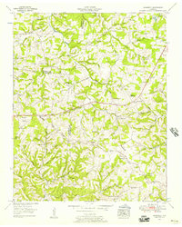
 1933 White Bluff1933 Print · USGSThe Tennessee river country in the early thirties is defined here by the winding loops of the Harpeth River and the rail line through White Bluff. Genealogists and researchers can trace rural life through landmarks like Mound Bottom, Frog Pond Ch, and Opossum Sch.
 - 1936 Map of Craigfield
 1936 Craigfield1936 Print · USGSThe Hickman and Williamson county border comes alive in the mid-1930s, showing a rural Tennessee landscape defined by narrow creek valleys and the Basin Divide. Genealogists can locate family-named sites like McCord Cem, Tidwell Sch, and Shady Grove Ch.
 - 1951 Map of Fairview, 1957 Print
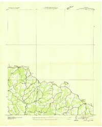
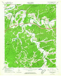
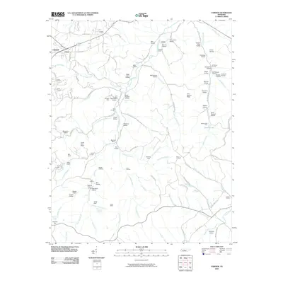
 1951 Fairview1957 Print · USGSThe rural borderlands of Williamson and Davidson counties are captured here in the early 1950s, centered on the South Fork Harpeth River. Genealogists can trace family names through the McPherson Cem Graveyard, Beasley Ch, and Fernvale Sch.4 unique versions available
 - 1953 Map of Craigfield, 1957 Print
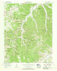
 1953 Craigfield1957 Print · USGSMiddle Tennessee rural life is captured here in the early fifties, where the borders of three counties meet along the Tennessee Valley Divide. Genealogists can trace family names through dozens of sites like the Cunningham Cem, Lampley Sch, and Emanuel Fairview Ch.3 unique versions available
 - 1956 Map of Columbia, 1960 Print
 1956 Columbia1960 Print · USGSMiddle Tennessee in the mid-fifties presents a landscape of established river towns and critical rail hubs before the arrival of the modern interstate system. Researchers can trace the routes of the Louisville and Nashville railroad or locate historic landmarks like Stones River National Military Park and the Tennessee National Wildlife Refuge.6 unique versions available
 - 1956 Map of Nashville, 1971 Print
 1956 Nashville1971 Print · USGSThe Tennessee-Kentucky borderlands come into focus in the mid-1960s as major reservoir projects transformed the Cumberland and Tennessee river valleys. Researchers can trace the rail networks of the Louisville and Nashville and visit sites like Fort Campbell and Fort Donelson National Military Park.2 unique versions available
 - 1959 Map of Nashville
 1959 Nashville1959 Print · USGSMiddle Tennessee and Southern Kentucky come into focus during the late fifties, showing the region's transition into a modern transportation and military hub. Researchers can trace the sprawling Fort Campbell Military Reservation or locate historic rail stops along the Tennessee Central Ry and Illinois Central RR.
 - 1966 Map of White Bluff, 1967 Print
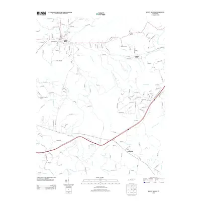
 1966 White Bluff1967 Print · USGSThe wooded ridges of Dickson and Cheatham Counties are captured here in the mid-sixties as Interstate development began to reach the area. Genealogists can locate family landmarks like Pinkerton Cem, James Sch, and the rail stops at Craggie Hope and White Bluff.3 unique versions available
 - 1966 Map of Kingston Springs, 1967 Print
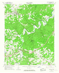
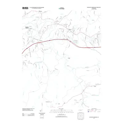
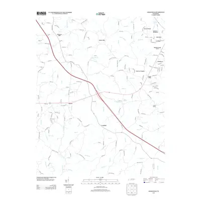
 1966 Kingston Springs1967 Print · USGSIn the mid-sixties, the Harpeth River valley near Kingston Springs maintained its rural character and winding rail lines. Genealogists and local historians can locate several country churches like Wards Chapel and Lone Oak Ch, or trace the path of the Louisville and Nashville railroad.4 unique versions available
 - 1985 Map of Dickson
 1985 Dickson1985 Print · USGSMid-Tennessee in the mid-1980s was defined by the intersection of the Cumberland and Tennessee rivers and a massive network of wildlife refuges. Researchers can trace the Seaboard System rail lines connecting Waverly, Dickson, and White Bluff, or locate old landmarks near Fort Donelson National Military Park.
 - 1986 Map of Hohenwald
 1986 Hohenwald1986 Print · USGSThe Western Highland Rim of Tennessee comes into focus during the mid-eighties, showing the deep river valleys and high ridges of Lewis and Perry counties. Researchers can trace the path of the Natchez Trace Parkway or locate interior settlements like Chestnut Grove, Farmers Exchange, and Hustburg.3 unique versions available
 - 2010 Map of Craigfield, 2010 Print
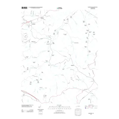
 2010 Craigfield2010 Print · USGSCovers Fairview, including Spencers Mill, Daugherty Estates, and other nearby areas
 - 2010 Map of White Bluff, 2010 Print
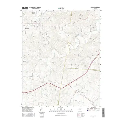
 2010 White Bluff2010 Print · USGSCovers Fairview, including White Bluff, Kingston Springs, and other nearby areas
 - 2010 Map of Kingston Springs, 2010 Print
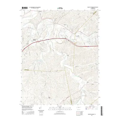
 2010 Kingston Springs2010 Print · USGSCovers Fairview, including Nashville, Kingston Springs, and other nearby areas
 - 2010 Map of Fairview, 2010 Print
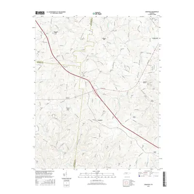
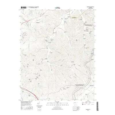
 2010 Fairview2010 Print · USGSCovers Fairview, including Nashville, Grammer Estates, and other nearby areas
 - 2013 Map of White Bluff, 2013 Print
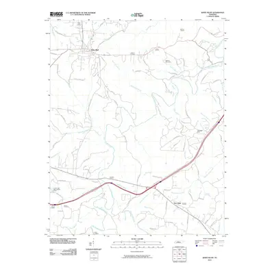
 2013 White Bluff2013 Print · USGSCovers Fairview, including White Bluff, Kingston Springs, and other nearby areas
 - 2013 Map of Kingston Springs, 2013 Print
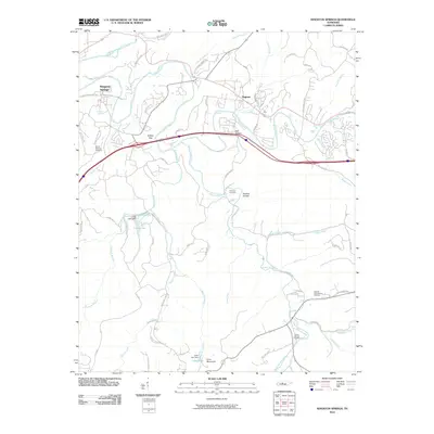
 2013 Kingston Springs2013 Print · USGSCovers Fairview, including Nashville, Kingston Springs, and other nearby areas
 - 2013 Map of Craigfield, 2013 Print
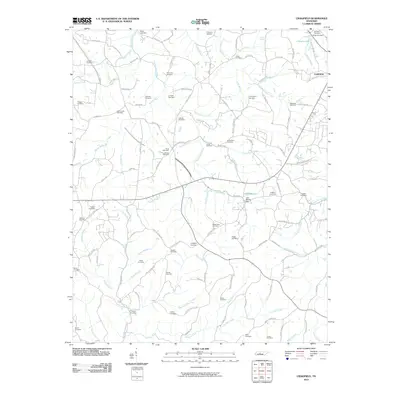
 2013 Craigfield2013 Print · USGSCovers Fairview, including Spencers Mill, Daugherty Estates, and other nearby areas
 - 2013 Map of Fairview, 2013 Print
 2013 Fairview2013 Print · USGSCovers Fairview, including Nashville, Grammer Estates, and other nearby areas
 - 2016 Map of White Bluff, 2016 Print
 2016 White Bluff2016 Print · USGSCovers Fairview, including White Bluff, Kingston Springs, and other nearby areas
 - 2016 Map of Kingston Springs, 2016 Print
 2016 Kingston Springs2016 Print · USGSCovers Fairview, including Nashville, Kingston Springs, and other nearby areas
 - 2016 Map of Craigfield, 2016 Print
 2016 Craigfield2016 Print · USGSCovers Fairview, including Spencers Mill, Daugherty Estates, and other nearby areas
 - 2016 Map of Fairview, 2016 Print
 2016 Fairview2016 Print · USGSCovers Fairview, including Nashville, Grammer Estates, and other nearby areas
Showing maps 1-25 of 33
Top cities near Fairview
- Nashville historical maps
- Franklin historical maps
- Spring Hill historical maps
- Dickson historical maps
- Ashland City historical maps
- White Bluff historical maps
See more
Top neighborhoods of Fairview
- New Hope historical maps
- Fairview Heights historical maps
- Glenhaven historical maps
- Green Valley historical maps
- Hallview Meadows historical maps
- Kenny Brook historical maps
See more
Frequently asked questions
- What are the different types of historical maps available for Fairview?
- What is the oldest map of Fairview?
- Where can I purchase historical maps of Fairview for my home or office?
- Where can I download high-res historical maps of Fairview?
- Are there historical topographic maps available for Fairview?
- Is there historical aerial imagery available for Fairview?
- Where are historical maps of Fairview sourced from?