Old Maps of Wards Mill, Franklin for Hiking & Exploration
Hike through history with 11 historic maps of Wards Mill. Explore old trails, ghost towns, and forgotten backroads — perfect for outdoor adventurers and local explorers.
- Rediscover forgotten places: Map out old mining camps, roads, and footpaths that no longer exist on modern maps.
- Layer with modern tools: Combine with LiDAR or satellite views to plan hikes through historical terrain.
- Made for exploration: Popular among hikers, overlanders, and local history lovers.
Use these maps to find adventure and explore the hidden past of Wards Mill.
Wards Mill, Franklin maps
(11)- 1909 Map of Franklin
 1909 Franklin1909 Print · USGSWilliamson County at the start of the twentieth century remains a landscape of historic pikes and rail-side villages. Genealogists can locate family homesteads near landmarks like Thompsons Station, Leipers Fork, and the Boiling Spring Academy.2 unique versions available
 - 1946 Map of Leipers Fork, 1966 Print
 1946 Leipers Fork1966 Print · USGSPost-war Williamson County comes into focus in this mid-century survey of the river valleys and ridges west of Franklin. Genealogists can locate family-named sites like Smith Cem and Perkins Cem or trace the rural crossroads of Leipers Fork and Southall.2 unique versions available
 - 1949 Map of Leipers Fork
 1949 Leipers Fork1949 Print · USGSWilliamson County in the late 1940s reveals a landscape of tight-knit valley communities and historic river crossings. Genealogists and researchers can locate family sites like Hogeye Ch, Hillsboro Sch, and the Smith Cem along the Harpeth River.
 - 1956 Map of Columbia, 1960 Print
 1956 Columbia1960 Print · USGSMiddle Tennessee in the mid-fifties presents a landscape of established river towns and critical rail hubs before the arrival of the modern interstate system. Researchers can trace the routes of the Louisville and Nashville railroad or locate historic landmarks like Stones River National Military Park and the Tennessee National Wildlife Refuge.6 unique versions available
 - 1981 Map of Leipers Fork, 1982 Print
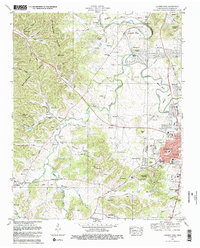 1981 Leipers Fork1982 Print · USGSFranklin and the rural stretches of the West Harpeth River valley are captured in the early eighties as residential growth began to meet historic farmsteads. Genealogists and local historians can trace legacy sites from the Indian Mound and Slave Cem to the Battle Ground Academy.3 unique versions available
 - 1985 Map of Murfreesboro, 1986 Print
 1985 Murfreesboro1986 Print · USGSMiddle Tennessee in the mid-1980s shows a landscape of growing towns and deep-rooted rural outposts. Local researchers can trace old family lines near Bell Buckle, locate landmarks like Donnel Chapel, or explore the grounds of Henry Horton State Park and Hoovers Gap.
 - 2010 Map of Leipers Fork, 2010 Print
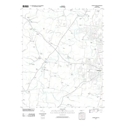 2010 Leipers Fork2010 Print · USGSFranklin and the Harpeth River valley are documented here at the start of the 2010s, showing a landscape rich with family history. Genealogists can trace dozens of burial sites, from Mount Hope Cemetery to several distinct Slave Cemetery locations and the historic Winstead Hill.
 - 2013 Map of Leipers Fork, 2013 Print
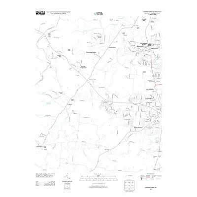 2013 Leipers Fork2013 Print · USGSWilliamson County's rural transitions are on display in the early twenty-first century, from the banks of the W Harpeth River to the ridgeline of the Natchez Trace Pkwy. Genealogists and local historians can trace family-named sites like Berrys Chapel, Egypt Hollow, and Wray Bridge.
 - 2016 Map of Leipers Fork, 2016 Print
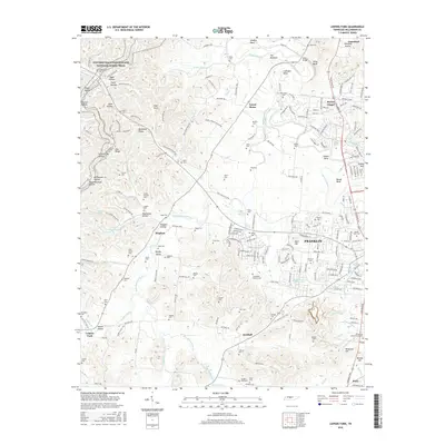 2016 Leipers Fork2016 Print · USGSFranklin and the surrounding Williamson County countryside are shown here in the mid-2010s, where suburban expansion meets deep Tennessee history. Researchers can trace dozens of family cemeteries and historic routes like the Old Charlotte Pike and Berrys Chapel.
 - 2019 Map of Leipers Fork, 2019 Print
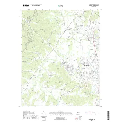 2019 Leipers Fork2019 Print · USGSFranklin and the rolling hills of Williamson County appear here in detail during the late twenty-teens. Researchers can trace dozens of family-named landmarks and burial sites, from Berrys Chapel and Winstead Hill to the McPherson Cem and Laine Cem.
 - 2022 Map of Leipers Fork, 2022 Print
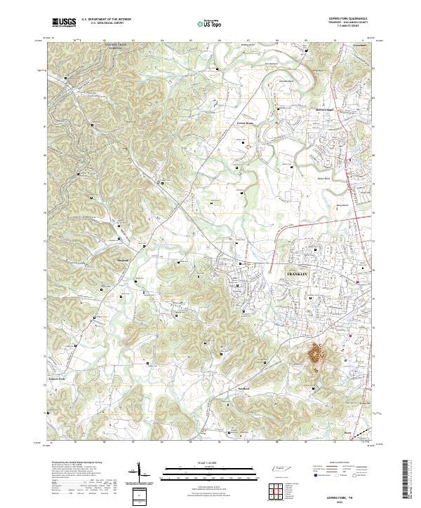 2022 Leipers Fork2022 Print · USGSThe rolling hills of Williamson County west of Franklin appear here in the early twenty-first century, preserving a dense network of family heritage. Genealogists can locate numerous pioneer burial sites including the Ashlin Moore Family Cem, Boxley Cem, and Short-Poynor Cem.
End of results
Showing maps 1-11 of 11
Frequently asked questions
- What are the different types of historical maps available for Wards Mill?
- What is the oldest map of Wards Mill?
- Where can I purchase historical maps of Wards Mill for my home or office?
- Where can I download high-res historical maps of Wards Mill?
- Are there historical topographic maps available for Wards Mill?
- Is there historical aerial imagery available for Wards Mill?
- Where are historical maps of Wards Mill sourced from?