Old Maps of Lake Colonial Estates, Tennessee
Explore 9 old maps of Lake Colonial Estates, spanning from 1942 to today. These high-resolution historic maps reveal how streets, neighborhoods, landmarks, and natural features evolved over time — perfect for genealogy, metal detecting, research, and local history exploration.
What you can do with these maps:
- See how Lake Colonial Estates changed over time: Compare historical maps to modern-day views to trace roads, homesites, rail lines & more.
- View detailed metadata: Each map includes creators, publishers, year, scale, and archive source.
- Overlay maps with satellite & LiDAR: Visualize the past alongside modern tools to explore terrain & human change.
- Trusted historical sources: Maps sourced from the USGS, Library of Congress, and other archives.
- Access maps your way: View online, download high-res files, or order prints for personal or research use.
Start exploring old maps of Lake Colonial Estates to uncover forgotten places, hidden landmarks, and the deep history beneath your feet.
Lake Colonial Estates, TN maps
(9)- 1942 Map of Lebanon, 1944 Print
 1942 Lebanon1944 Print · USGSMiddle Tennessee at the start of the war years reveals a landscape of historic homesteads and burgeoning military infrastructure. Genealogists and historians can trace family locations near The Hermitage, follow the Tennessee Central rail lines, or locate the newly established Smyrna Air Base.
 - 1956 Map of Columbia, 1960 Print
 1956 Columbia1960 Print · USGSMiddle Tennessee in the mid-fifties presents a landscape of established river towns and critical rail hubs before the arrival of the modern interstate system. Researchers can trace the routes of the Louisville and Nashville railroad or locate historic landmarks like Stones River National Military Park and the Tennessee National Wildlife Refuge.6 unique versions available
 - 1957 Map of Nolensville, 1958 Print
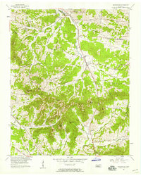 1957 Nolensville1958 Print · USGSMid-century Williamson and Davidson Counties reveal a landscape of family farms and rural churches before modern development. Genealogists can trace ancestral ties through Battle Cem, Pettus Cem, and community centers like Nolensville School.4 unique versions available
 - 1985 Map of Murfreesboro, 1986 Print
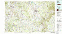 1985 Murfreesboro1986 Print · USGSMiddle Tennessee in the mid-1980s shows a landscape of growing towns and deep-rooted rural outposts. Local researchers can trace old family lines near Bell Buckle, locate landmarks like Donnel Chapel, or explore the grounds of Henry Horton State Park and Hoovers Gap.
 - 2010 Map of Nolensville, 2010 Print
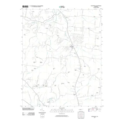 2010 Nolensville2010 Print · USGSNolensville and its surrounding hills are captured in this 2010 survey during a period of steady residential growth. Genealogists can trace family heritage across more than twenty burial sites, including the Battle Cemetery, McFarlin Cemetery, and Hamor Cemetery.
 - 2013 Map of Nolensville, 2013 Print
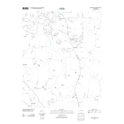 2013 Nolensville2013 Print · USGSNolensville and its surrounding knobs and hollows are captured here during a season of suburban growth south of Nashville. Researchers can trace the layout of Stonebrook and Sunset Acres alongside local landmarks like Molly Hollow and Polk Hill.
 - 2016 Map of Nolensville, 2016 Print
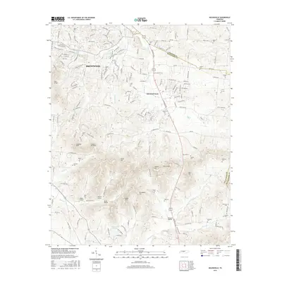 2016 Nolensville2016 Print · USGSGreater Nashville's southern reaches are captured here in the mid-2010s as suburban expansion meets traditional Tennessee knob country. Genealogists and historians can trace dozens of local family burial sites, including Battle Cem, Ozburn Cem, and the Nolensville Cem near Mill Creek.
 - 2019 Map of Nolensville, 2019 Print
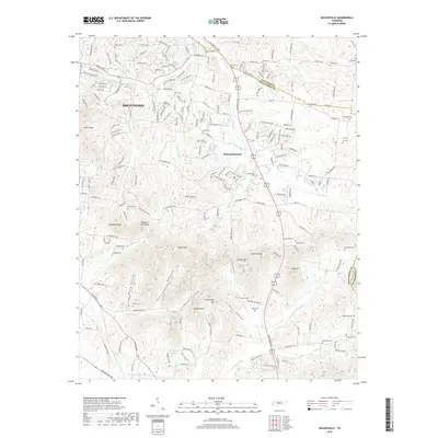 2019 Nolensville2019 Print · USGSNolensville and the Brentwood outskirts are captured here during a period of modern suburban growth into the rural hills south of Nashville. Genealogists can trace family heritage through numerous burial sites like Hailey-Rash Cem, McFarlin Cem, and Nolensville Cem.
 - 2022 Map of Nolensville, 2022 Print
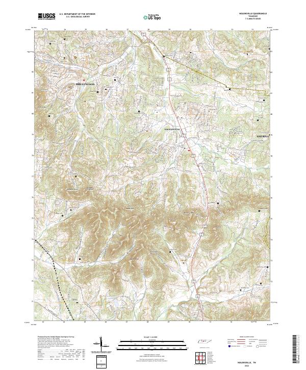 2022 Nolensville2022 Print · USGSNolensville and its surrounding ridges come into focus in this contemporary study of the Williamson County landscape. Researchers can locate dozens of family-named burial sites such as Jane Hamer Cem and McCanless Cem, alongside landmarks like McMahan Knob.
End of results
Showing maps 1-9 of 9
Top cities near Lake Colonial Estates
- Nashville historical maps
- Murfreesboro historical maps
- Franklin historical maps
- Smyrna historical maps
- Brentwood historical maps
- Columbia historical maps
See more
Frequently asked questions
- What are the different types of historical maps available for Lake Colonial Estates?
- What is the oldest map of Lake Colonial Estates?
- Where can I purchase historical maps of Lake Colonial Estates for my home or office?
- Where can I download high-res historical maps of Lake Colonial Estates?
- Are there historical topographic maps available for Lake Colonial Estates?
- Is there historical aerial imagery available for Lake Colonial Estates?
- Where are historical maps of Lake Colonial Estates sourced from?