Old Maps of Green Hill, Tennessee for Hiking & Exploration
Hike through history with 24 historic maps of Green Hill. Explore old trails, ghost towns, and forgotten backroads — perfect for outdoor adventurers and local explorers.
- Rediscover forgotten places: Map out old mining camps, roads, and footpaths that no longer exist on modern maps.
- Layer with modern tools: Combine with LiDAR or satellite views to plan hikes through historical terrain.
- Made for exploration: Popular among hikers, overlanders, and local history lovers.
Use these maps to find adventure and explore the hidden past of Green Hill.
Green Hill, TN maps
(24)- 1903 Map of Nashville
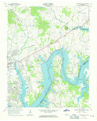
 1903 Nashville1903 Print · USGSTennessee's capital region is captured at the dawn of the 1900s, when iron pikes and river locks dominated local commerce. Trace ancestral routes along Stewarts Ferry Pike, find rural landmarks like Curry Mill, or locate historical sites like The Hermitage.4 unique versions available
 - 1932 Map of Hermitage
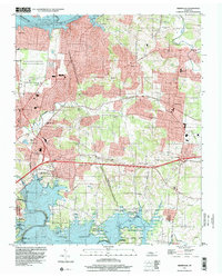
 1932 Hermitage1932 Print · USGSGreater Nashville and its rural eastern reaches come alive in the early 1930s, documenting the river-bend communities and pike roads before modern sprawl. Genealogists can trace family roots through dozens of local landmarks like Woodbine P O, Clover Bottom, and the Andrew Jackson Sch.3 unique versions available
 - 1942 Map of Gallatin
 1942 Gallatin1942 Print · USGSThe Tennessee-Kentucky borderlands were a crossroads of river and rail during the early war years. Genealogists and historians can trace family roots through dozens of named settlements like Bethpage, Prices Mill, and Mitchellville, or locate historic river crossings such as Kirkpatricks Ferry.
 - 1942 Map of Lebanon, 1944 Print
 1942 Lebanon1944 Print · USGSMiddle Tennessee at the start of the war years reveals a landscape of historic homesteads and burgeoning military infrastructure. Genealogists and historians can trace family locations near The Hermitage, follow the Tennessee Central rail lines, or locate the newly established Smyrna Air Base.
 - 1952 Map of Hendersonville, 1953 Print
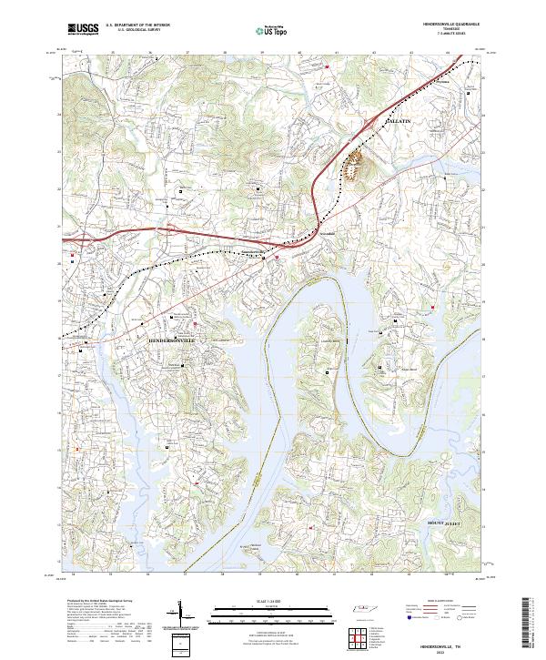
 1952 Hendersonville1953 Print · USGSSumner County is captured here in the early fifties, before the rapid suburban expansion of the Nashville region. Genealogists can locate family landmarks such as Shackle Island, Stark Knob Ch, and the winding Walton Ferry Road along the river.
 - 1952 Map of Hermitage, 1954 Print
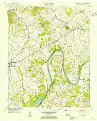
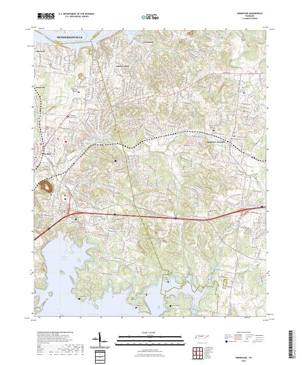
 1952 Hermitage1954 Print · USGSDavidson and Wilson counties are captured in the early fifties, showing the rural landscapes around the Cumberland River before significant suburban growth. Trace family roots at The Hermitage, Bakers Grove Ch, and the Confederate Memorial Cem.
 - 1956 Map of Nashville, 1971 Print
 1956 Nashville1971 Print · USGSThe Tennessee-Kentucky borderlands come into focus in the mid-1960s as major reservoir projects transformed the Cumberland and Tennessee river valleys. Researchers can trace the rail networks of the Louisville and Nashville and visit sites like Fort Campbell and Fort Donelson National Military Park.2 unique versions available
 - 1957 Map of Hendersonville, 1959 Print
 1957 Hendersonville1959 Print · USGSSumner County underwent a massive geographical shift in the late fifties as the rising Cumberland River filled the new reservoir. Researchers can trace the mid-century shoreline of Old Hickory Lake and locate old rural landmarks like Rehoboth Ch and Beech Sch.
 - 1957 Map of Hermitage, 1959 Print
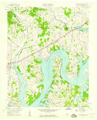
 1957 Hermitage1959 Print · USGSNear Nashville in the late fifties, the landscape around The Hermitage reflects a mix of historic estates and new river reservoirs. Genealogists can trace family landmarks like the Confederate Memorial Cem, Hays Cem, and the rural Bakers Grove Ch.
 - 1959 Map of Nashville
 1959 Nashville1959 Print · USGSMiddle Tennessee and Southern Kentucky come into focus during the late fifties, showing the region's transition into a modern transportation and military hub. Researchers can trace the sprawling Fort Campbell Military Reservation or locate historic rail stops along the Tennessee Central Ry and Illinois Central RR.
 - 1968 Map of Hermitage, 1970 Print
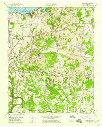
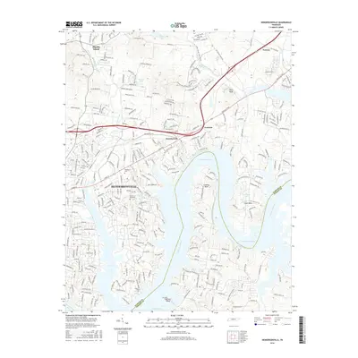
 1968 Hermitage1970 Print · USGSThe Hermitage area in the late sixties displays a landscape transitioning from rural estates to suburban reaches between two major Tennessee reservoirs. Trace local history through The Hermitage Tomb, Mount Juliet High Sch, and family-named landmarks like Bakers Grove Ch.3 unique versions available
 - 1968 Map of Hendersonville, 1971 Print
 1968 Hendersonville1971 Print · USGSThe Hendersonville area is captured here during its late-sixties growth as Old Hickory Lake reshaped the local topography. Genealogists can trace family roots through landmarks like St Johns Ch, Peytona, and the rural schools and churches of Shackle Island.2 unique versions available
 - 1984 Map of Nashville, 1985 Print
 1984 Nashville1985 Print · USGSMiddle Tennessee in the mid-1980s reveals a region balancing urban expansion with its deep river-valley roots. Genealogists and historians can trace family locations near Old Hickory Lake, explore the grounds of Vanderbilt University, or locate ancestral sites like Greenwood Cem.
 - 1997 Map of Hermitage, 2001 Print
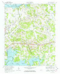
 1997 Hermitage2001 Print · USGSThe suburbs east of Nashville were rapidly evolving in the late nineties as legacy estates met modern reservoirs. Genealogists and historians can trace the grounds of The Hermitage, locate the Mount Juliet Cem, and explore the shoreline of Old Hickory Lake.
 - 2010 Map of Hendersonville, 2010 Print
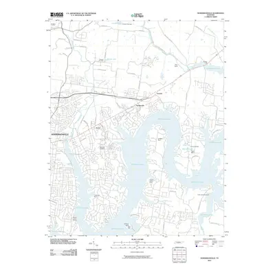 2010 Hendersonville2010 Print · USGSCovers Green Hill, including Nashville, Hendersonville, and other nearby areas
 - 2010 Map of Hermitage, 2010 Print
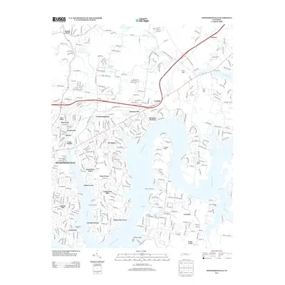
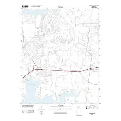 2010 Hermitage2010 Print · USGSCovers Green Hill, including Nashville, Hendersonville, and other nearby areas
 - 2013 Map of Hendersonville, 2013 Print
 2013 Hendersonville2013 Print · USGSCovers Green Hill, including Nashville, Hendersonville, and other nearby areas
 - 2013 Map of Hermitage, 2013 Print
 2013 Hermitage2013 Print · USGSCovers Green Hill, including Nashville, Hendersonville, and other nearby areas
 - 2016 Map of Hermitage, 2016 Print
 2016 Hermitage2016 Print · USGSCovers Green Hill, including Nashville, Hendersonville, and other nearby areas
 - 2016 Map of Hendersonville, 2016 Print
 2016 Hendersonville2016 Print · USGSCovers Green Hill, including Nashville, Hendersonville, and other nearby areas
 - 2019 Map of Hermitage, 2019 Print
 2019 Hermitage2019 Print · USGSCovers Green Hill, including Nashville, Hendersonville, and other nearby areas
 - 2019 Map of Hendersonville, 2019 Print
 2019 Hendersonville2019 Print · USGSCovers Green Hill, including Nashville, Hendersonville, and other nearby areas
 - 2022 Map of Hendersonville, 2022 Print
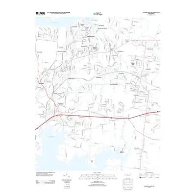
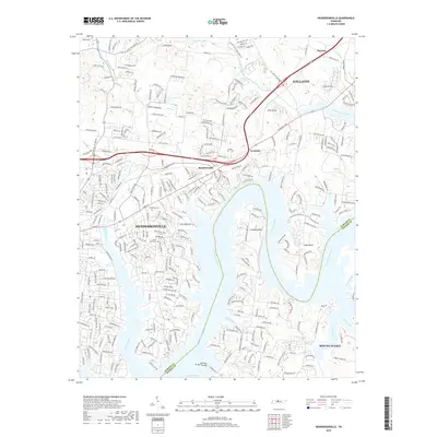
 2022 Hendersonville2022 Print · USGSThe Sumner County lakefront south of Gallatin is shown here in the early twenty-first century as suburban growth meets the historic Cumberland River. Trace family roots at the Stark Family Homestead Cem or explore the landscape around Pilot Knob and Saundersville.
 - 2022 Map of Hermitage, 2022 Print
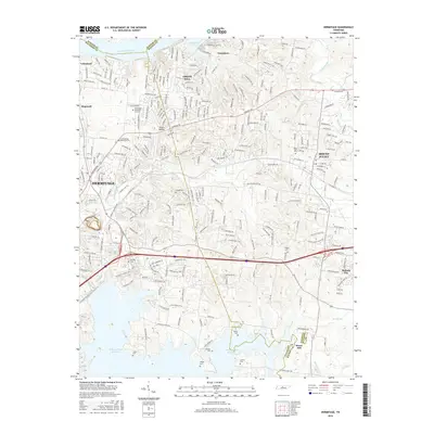
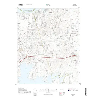
 2022 Hermitage2022 Print · USGSThe eastern Nashville suburbs near Hermitage and Mount Juliet come alive in this detailed recent survey. Genealogists can trace family heritage through numerous burial sites like John G Gleaves Cem, Cowgill Cem, and Jenkins Cem tucked along the Stoners Cr watershed.
End of results
Showing maps 1-24 of 24
Top cities near Green Hill
- Nashville historical maps
- Hendersonville historical maps
- Smyrna historical maps
- Brentwood historical maps
- La Vergne historical maps
- Gallatin historical maps
See more
Top neighborhoods of Green Hill
- Harbor View historical maps
- Langford Cove historical maps
- Langford Farms historical maps
- Woodlake historical maps
- Georgemere historical maps
- Highland Heights historical maps
See more
Frequently asked questions
- What are the different types of historical maps available for Green Hill?
- What is the oldest map of Green Hill?
- Where can I purchase historical maps of Green Hill for my home or office?
- Where can I download high-res historical maps of Green Hill?
- Are there historical topographic maps available for Green Hill?
- Is there historical aerial imagery available for Green Hill?
- Where are historical maps of Green Hill sourced from?