Old Maps of Hurricane, Tennessee
Explore 11 old maps of Hurricane, spanning from 1942 to today. These high-resolution historic maps reveal how streets, neighborhoods, landmarks, and natural features evolved over time — perfect for genealogy, metal detecting, research, and local history exploration.
What you can do with these maps:
- See how Hurricane changed over time: Compare historical maps to modern-day views to trace roads, homesites, rail lines & more.
- View detailed metadata: Each map includes creators, publishers, year, scale, and archive source.
- Overlay maps with satellite & LiDAR: Visualize the past alongside modern tools to explore terrain & human change.
- Trusted historical sources: Maps sourced from the USGS, Library of Congress, and other archives.
- Access maps your way: View online, download high-res files, or order prints for personal or research use.
Start exploring old maps of Hurricane to uncover forgotten places, hidden landmarks, and the deep history beneath your feet.
Hurricane, TN maps
(11)- 1942 Map of Lebanon, 1944 Print
 1942 Lebanon1944 Print · USGSMiddle Tennessee at the start of the war years reveals a landscape of historic homesteads and burgeoning military infrastructure. Genealogists and historians can trace family locations near The Hermitage, follow the Tennessee Central rail lines, or locate the newly established Smyrna Air Base.
 - 1956 Map of Vine, 1957 Print
 1956 Vine1957 Print · USGSWilson County's cedar glades and crossroad hamlets are preserved here during the mid-fifties. Genealogists and historians can trace family locations near Bairds Mill, Adams Grove Ch, and the winding path of Hurricane Creek.2 unique versions available
 - 1956 Map of Nashville, 1971 Print
 1956 Nashville1971 Print · USGSThe Tennessee-Kentucky borderlands come into focus in the mid-1960s as major reservoir projects transformed the Cumberland and Tennessee river valleys. Researchers can trace the rail networks of the Louisville and Nashville and visit sites like Fort Campbell and Fort Donelson National Military Park.2 unique versions available
 - 1959 Map of Nashville
 1959 Nashville1959 Print · USGSMiddle Tennessee and Southern Kentucky come into focus during the late fifties, showing the region's transition into a modern transportation and military hub. Researchers can trace the sprawling Fort Campbell Military Reservation or locate historic rail stops along the Tennessee Central Ry and Illinois Central RR.
 - 1984 Map of Nashville, 1985 Print
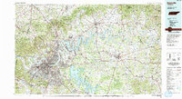 1984 Nashville1985 Print · USGSMiddle Tennessee in the mid-1980s reveals a region balancing urban expansion with its deep river-valley roots. Genealogists and historians can trace family locations near Old Hickory Lake, explore the grounds of Vanderbilt University, or locate ancestral sites like Greenwood Cem.
 - 1994 Map of Vine, 1997 Print
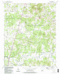 1994 Vine1997 Print · USGSThe Wilson and Rutherford county borderlands appear in the mid-nineties as a landscape of dense state forests and scattered rural hamlets. Researchers can trace family landmarks like Jacobs Hill Ch, find the old crossing at Bairds Mill, or explore Hermit Cave.
 - 2010 Map of Vine, 2010 Print
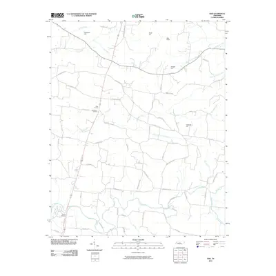 2010 Vine2010 Print · USGSWilson County, Tennessee, is captured here in the early twenty-first century as a landscape of family-named hills and winding creek branches. Genealogists can trace burial sites at Major Cemetery or Shelton Cemetery and locate historical thoroughfares like Old Murfreesboro Rd E.
 - 2013 Map of Vine, 2013 Print
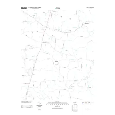 2013 Vine2013 Print · USGSWilson County is captured here in the early twenty-first century, showing a landscape of small settlements and high ground. Genealogists and local historians can trace family locations near Bairds Mill, Adams Grove, and the unique Jacksons Cave Spring.
 - 2016 Map of Vine, 2016 Print
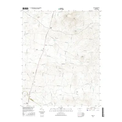 2016 Vine2016 Print · USGSNorth of the Rutherford County line in the mid-2010s, this area shows a landscape of upland hills and rural Tennessee settlements. Researchers can trace family history through Major Cemetery and Shelton Cemetery, or locate landmarks like Bairds Mill and Toy Box Airport.
 - 2019 Map of Vine, 2019 Print
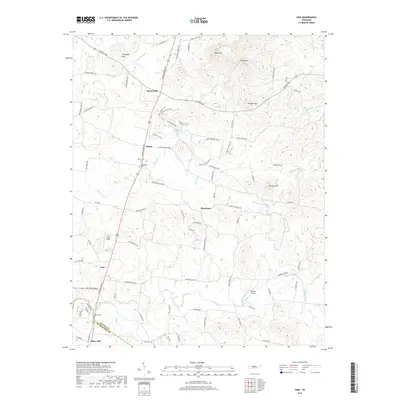 2019 Vine2019 Print · USGSSpanning the Wilson and Rutherford county line in the late twenty-tens, this map details a landscape of high knobs and creek valleys. Researchers can locate family burial sites at Major Cem and Shelton Cem or trace the rural crossroads of Bairds Mill and Vine.
 - 2022 Map of Vine, 2022 Print
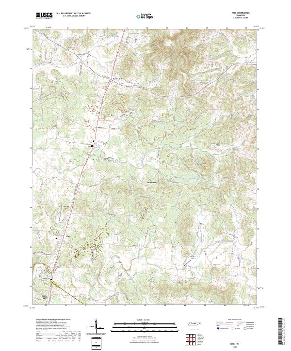 2022 Vine2022 Print · USGSSouthern Wilson County in the early twenty-first century remains a landscape of rolling knobs and deep-rooted family history. Genealogists and local researchers can trace historic property lines near Bairds Mill or locate ancestral burial sites at Huddleston Cem and Major Cem.
End of results
Showing maps 1-11 of 11
Top cities near Hurricane
- Nashville historical maps
- Murfreesboro historical maps
- Hendersonville historical maps
- Smyrna historical maps
- La Vergne historical maps
- Lebanon historical maps
See more
Frequently asked questions
- What are the different types of historical maps available for Hurricane?
- What is the oldest map of Hurricane?
- Where can I purchase historical maps of Hurricane for my home or office?
- Where can I download high-res historical maps of Hurricane?
- Are there historical topographic maps available for Hurricane?
- Is there historical aerial imagery available for Hurricane?
- Where are historical maps of Hurricane sourced from?