Old Maps of Laguardo, Tennessee for Genealogy
Trace your family roots with 10 historic maps of Laguardo. These high-res maps reveal old neighborhoods, homesites, landmarks, and streets — helping you uncover where your ancestors lived and how the area evolved over time.
- Explore historic neighborhoods: Identify where your relatives may have lived in the 1800s or 1900s.
- Compare maps over time: Trace the changes in streets, buildings, and landmarks for multi-generational research.
- Perfect for genealogy & ancestry research: Used by family historians and researchers to map out lineage and migration.
These maps are an incredible resource for exploring your personal connection to Laguardo's past.
Laguardo, TN maps
(10)- 1942 Map of Gallatin
 1942 Gallatin1942 Print · USGSThe Tennessee-Kentucky borderlands were a crossroads of river and rail during the early war years. Genealogists and historians can trace family roots through dozens of named settlements like Bethpage, Prices Mill, and Mitchellville, or locate historic river crossings such as Kirkpatricks Ferry.
 - 1955 Map of Laguardo, 1956 Print
 1955 Laguardo1956 Print · USGSThe Cumberland River valley transitioned into a modern utility corridor in the mid-fifties as the reservoir waters rose. Genealogists and historians can trace local landmarks like the Odoms Bend Sch, Franklin Chapel, and the Drive-in Theatre near Laguardo.5 unique versions available
 - 1956 Map of Nashville, 1971 Print
 1956 Nashville1971 Print · USGSThe Tennessee-Kentucky borderlands come into focus in the mid-1960s as major reservoir projects transformed the Cumberland and Tennessee river valleys. Researchers can trace the rail networks of the Louisville and Nashville and visit sites like Fort Campbell and Fort Donelson National Military Park.2 unique versions available
 - 1959 Map of Nashville
 1959 Nashville1959 Print · USGSMiddle Tennessee and Southern Kentucky come into focus during the late fifties, showing the region's transition into a modern transportation and military hub. Researchers can trace the sprawling Fort Campbell Military Reservation or locate historic rail stops along the Tennessee Central Ry and Illinois Central RR.
 - 1984 Map of Nashville, 1985 Print
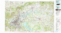 1984 Nashville1985 Print · USGSMiddle Tennessee in the mid-1980s reveals a region balancing urban expansion with its deep river-valley roots. Genealogists and historians can trace family locations near Old Hickory Lake, explore the grounds of Vanderbilt University, or locate ancestral sites like Greenwood Cem.
 - 2010 Map of Laguardo, 2010 Print
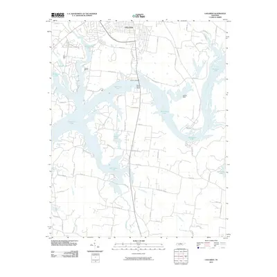 2010 Laguardo2010 Print · USGSThe area south of Gallatin is shown here in the early twenty-first century, defined by the expansive waters of the Cumberland River. Researchers can trace land development around Old Hickory Lake and identify key landmarks like Odoms Bend and the Martha Gallatin Bridge.
 - 2013 Map of Laguardo, 2013 Print
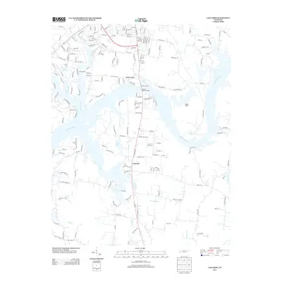 2013 Laguardo2013 Print · USGSSumner County as it appeared in the early 2010s shows a landscape where the river's path still dictates local geography even as residential growth expands. Genealogists and local historians can trace the development around Laguardo and Odoms Bend or follow the waters of Station Camp Cr.
 - 2016 Map of Laguardo, 2016 Print
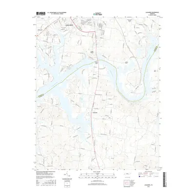 2016 Laguardo2016 Print · USGSGallatin and the northern reaches of the Cumberland River are captured here in the mid-2010s, showcasing the intersection of suburban growth and river geography. Researchers can map out the campus of Volunteer State Community Coll, trace the developments near Laguardo, and locate landmarks like the Martha Gallatin Bridge.
 - 2019 Map of Laguardo, 2019 Print
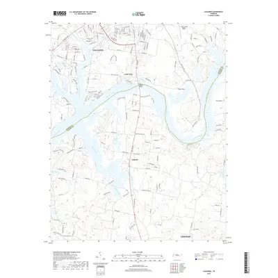 2019 Laguardo2019 Print · USGSSumner and Wilson counties meet along the winding banks of the Cumberland River in the late twenty-teens. Researchers can trace the development of Laguardo and Gallatin or locate local landmarks like the Martha Gallatin Bridge and Ackers Lake.
 - 2022 Map of Laguardo, 2022 Print
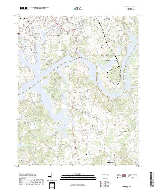 2022 Laguardo2022 Print · USGSSumner and Wilson Counties are captured here as modern infrastructure meets the historic river bends of the northern Tennessee landscape. Researchers can trace numerous family burial grounds including Vinson Family Cem, Newton Cem, and Harper Cem near the banks of the Cumberland River.
End of results
Showing maps 1-10 of 10
Top cities near Laguardo
- Nashville historical maps
- Hendersonville historical maps
- La Vergne historical maps
- Gallatin historical maps
- Lebanon historical maps
- White House historical maps
See more
Frequently asked questions
- What are the different types of historical maps available for Laguardo?
- What is the oldest map of Laguardo?
- Where can I purchase historical maps of Laguardo for my home or office?
- Where can I download high-res historical maps of Laguardo?
- Are there historical topographic maps available for Laguardo?
- Is there historical aerial imagery available for Laguardo?
- Where are historical maps of Laguardo sourced from?