Old Maps of The Reserve Log Home Community, Anderson County
Explore 20 old maps of The Reserve Log Home Community, spanning from 1949 to today. These high-resolution historic maps reveal how streets, neighborhoods, landmarks, and natural features evolved over time — perfect for genealogy, metal detecting, research, and local history exploration.
What you can do with these maps:
- See how The Reserve Log Home Community changed over time: Compare historical maps to modern-day views to trace roads, homesites, rail lines & more.
- View detailed metadata: Each map includes creators, publishers, year, scale, and archive source.
- Overlay maps with satellite & LiDAR: Visualize the past alongside modern tools to explore terrain & human change.
- Trusted historical sources: Maps sourced from the USGS, Library of Congress, and other archives.
- Access maps your way: View online, download high-res files, or order prints for personal or research use.
Start exploring old maps of The Reserve Log Home Community to uncover forgotten places, hidden landmarks, and the deep history beneath your feet.
The Reserve Log Home Community, Anderson County maps
(20)- 1949 Map of Palestine, 1962 Print
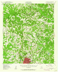 1949 Palestine1962 Print · USGSPalestine and its rural Anderson County surrounds come alive in the late 1940s, highlighting the convergence of the Missouri Pacific railroad and a growing aviation footprint. Genealogists can trace family roots through numerous country landmarks like Broyles Chapel, Hopewell Cem, and Union Academy.3 unique versions available
 - 1949 Map of Tennessee Colony, 1967 Print
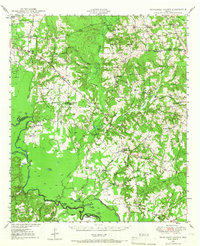 1949 Tennessee Colony1967 Print · USGSAnderson County in the late 1940s shows a landscape of river-bottom lakes and rural communities at the height of the oil boom. Genealogists can locate family landmarks like Judson Cem, Gosman Sch, and the Blackfoot Oil Field.2 unique versions available
 - 1950 Map of Palestine
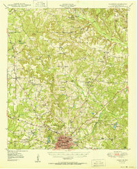 1950 Palestine1950 Print · USGSEast Texas at mid-century was a landscape of rural schools and rail-dependent towns like Montalba and Elmtown. Genealogists and historians can trace family roots through numerous sites like Cuney Academy, Broyles Chapel, and Hopewell Cem.2 unique versions available
 - 1950 Map of Tennessee Colony
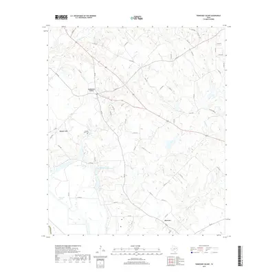
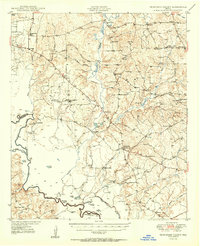 1950 Tennessee Colony1950 Print · USGSMid-century Anderson County is captured here just as the oil industry began to shape the Trinity River basin. Trace old family sites and community roots through landmarks like Tennessee Colony, the historic Tyler Ferry crossing, and rural centers like New Bethel Ch.2 unique versions available
 - 1953 Map of Palestine, 1964 Print
 1953 Palestine1964 Print · USGSEast Texas was defined by its deep pine forests and burgeoning energy sector in the mid-1950s. Genealogists and historians can trace the rail-and-river economy through settlements like Tennessee Colony and Pollok or explore the early footprints of the Cayuga Oil Field and Davy Crockett National Forest.2 unique versions available
 - 1957 Map of Palestine
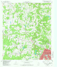
 1957 Palestine1957 Print · USGSEast Texas in the mid-fifties reveals a landscape of deep pine forests and winding river valleys before the era of massive reservoir construction. Researchers can trace the legacy of the timber and rail industries through labels for the Missouri Pacific RR, Davy Crockett National Forest, and Nacogdoches.
 - 1981 Map of Palestine
 1981 Palestine1981 Print · USGSEast Texas was a crossroads of timber, rail, and energy in the early eighties, centered on the bustling junction at Palestine. Researchers can trace family roots through rural landmarks like Old Pioneer Cem, Lynch Academy, and Hudson Chapel.
 - 1982 Map of Northwest Palestine
 1982 Northwest Palestine1982 Print · USGSAnderson County in the early eighties shows the northern expansion of Palestine into a landscape defined by creeks and rail lines. Family historians can trace rural roots at Jerusalem Cem, Broyles Chapel, and the National Scientific Balloon Facility.
 - 1982 Map of Tennessee Colony
 1982 Tennessee Colony1982 Print · USGSThe community of Tennessee Colony and the nearby Harmony area are shown here in the early 1980s amidst a landscape of creeks and oil production. Genealogists and researchers can locate several local landmarks, including the Jimmison Quarter Cem and Providence Ch.
 - 1984 Map of Palestine
 1984 Palestine1984 Print · USGSEast Texas in the mid-eighties reveals a landscape of massive reservoirs and protected timberlands between Palestine and Nacogdoches. Researchers can trace old routes like the Missouri Pacific RR and locate rural communities such as Tennessee Colony, Latexo, and Etoile.3 unique versions available
 - 2010 Map of Northwest Palestine, 2010 Print
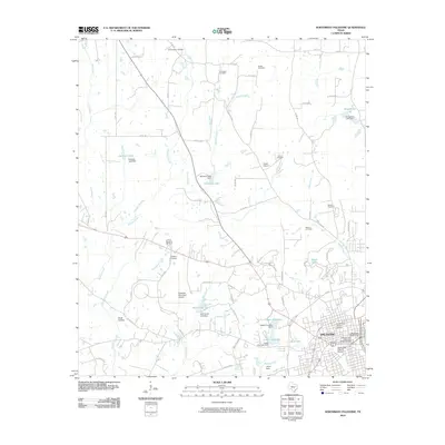 2010 Northwest Palestine2010 Print · USGSCovers The Reserve Log Home Community, including Palestine, Anderson County, and other nearby areas
 - 2010 Map of Tennessee Colony, 2010 Print
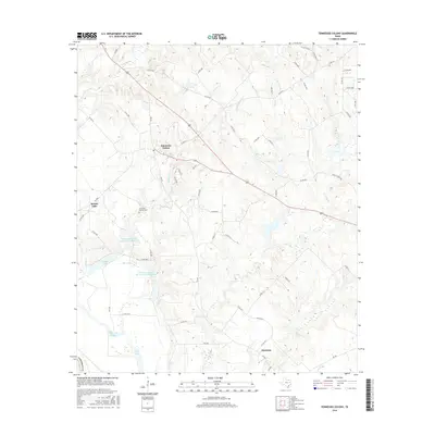
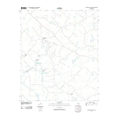 2010 Tennessee Colony2010 Print · USGSCovers The Reserve Log Home Community, including Massey Lake, Harmony, and other nearby areas
 - 2013 Map of Northwest Palestine, 2013 Print
 2013 Northwest Palestine2013 Print · USGSCovers The Reserve Log Home Community, including Palestine, Anderson County, and other nearby areas
 - 2013 Map of Tennessee Colony, 2013 Print
 2013 Tennessee Colony2013 Print · USGSCovers The Reserve Log Home Community, including Massey Lake, Harmony, and other nearby areas
 - 2016 Map of Tennessee Colony, 2016 Print
 2016 Tennessee Colony2016 Print · USGSCovers The Reserve Log Home Community, including Massey Lake, Harmony, and other nearby areas
 - 2016 Map of Northwest Palestine, 2016 Print
 2016 Northwest Palestine2016 Print · USGSCovers The Reserve Log Home Community, including Palestine, Anderson County, and other nearby areas
 - 2019 Map of Tennessee Colony, 2019 Print
 2019 Tennessee Colony2019 Print · USGSCovers The Reserve Log Home Community, including Massey Lake, Harmony, and other nearby areas
 - 2019 Map of Northwest Palestine, 2019 Print
 2019 Northwest Palestine2019 Print · USGSCovers The Reserve Log Home Community, including Palestine, Anderson County, and other nearby areas
 - 2022 Map of Northwest Palestine, 2022 Print
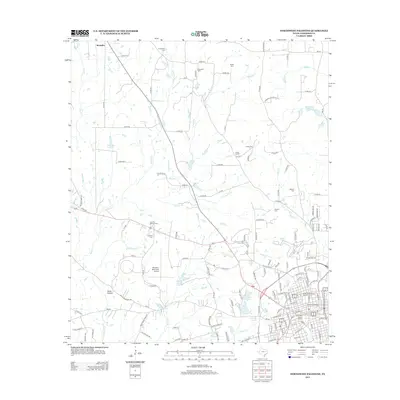
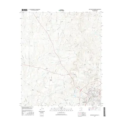
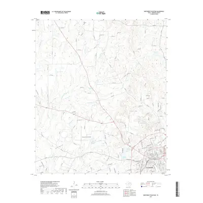
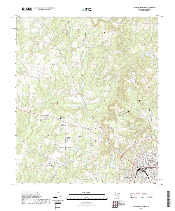 2022 Northwest Palestine2022 Print · USGSPalestine and its northern environs are shown in modern detail as the city expands into the Anderson County countryside. Researchers can locate many local burial sites like Antioch Cem and Jerusalem Cem or trace waterways like Keechie Cr.
 - 2022 Map of Tennessee Colony, 2022 Print
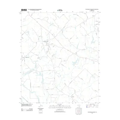
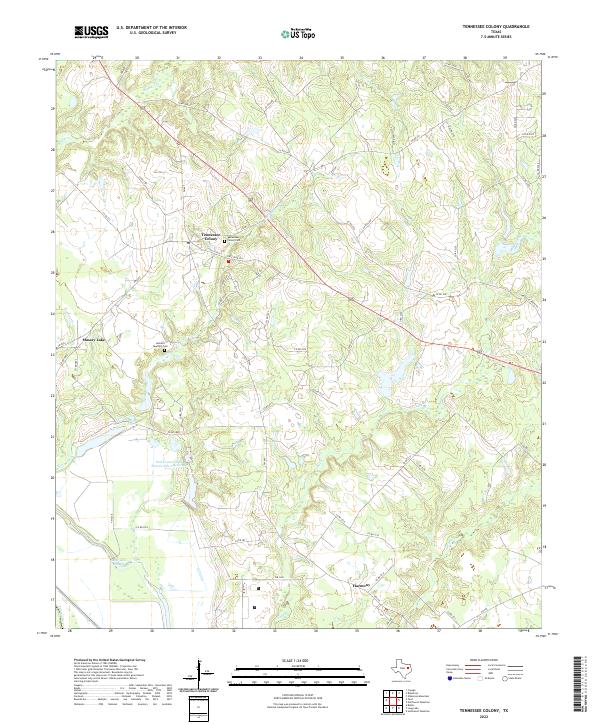 2022 Tennessee Colony2022 Print · USGSNorthwest Anderson County is captured here in the early 2020s, showcasing the rural settlements and creek-carved terrain leading toward the Trinity River. Genealogists and local historians can trace family locations near Tennessee Colony Cem, Harmony, and the old Wildcat Ferry Rd.
End of results
Showing maps 1-20 of 20
Frequently asked questions
- What are the different types of historical maps available for The Reserve Log Home Community?
- What is the oldest map of The Reserve Log Home Community?
- Where can I purchase historical maps of The Reserve Log Home Community for my home or office?
- Where can I download high-res historical maps of The Reserve Log Home Community?
- Are there historical topographic maps available for The Reserve Log Home Community?
- Is there historical aerial imagery available for The Reserve Log Home Community?
- Where are historical maps of The Reserve Log Home Community sourced from?