2000s (21st Century) Maps of Aransas Pass, Texas
Explore 22 historic maps of Aransas Pass from the 2000s (21st Century). These maps offer a rare glimpse into what life looked like during the 2000s — showing old roads, neighborhoods, homes, and landmarks that have changed or disappeared over time.
Whether you're researching your family's past, planning a metal detecting trip, or studying how Aransas Pass's landscape evolved across the 2000s, these high-resolution maps are a powerful tool for exploring the history of this region.
- Focus on a specific era: All maps on this page are from the 2000s, giving you a focused view of this time period.
- See what’s changed: Compare century-old streets, trails, and buildings to today's modern landscape using overlays and satellite layers.
- Research with precision: Use these maps for genealogy, historical research, land use analysis, or educational projects.
- View, download, or print: Maps are fully viewable online in high resolution, and can be downloaded or printed for your own records.
Start exploring Aransas Pass's history through authentic maps from the 2000s. This is your window into the past.
Aransas Pass, TX maps
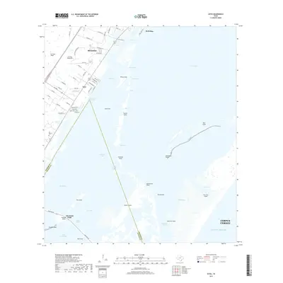
(22)- 2010 Map of Estes, 2010 Print
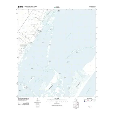 2010 Estes2010 Print · USGSCovers Aransas Pass, including Corpus Christi, Rockport, and other nearby areas
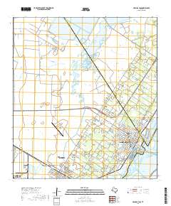
 - 2010 Map of Port Ingleside, 2010 Print
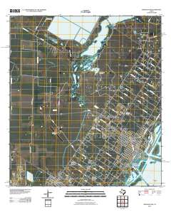
 2010 Port Ingleside2010 Print · USGSCovers Aransas Pass, including Corpus Christi, Ingleside, and other nearby areas
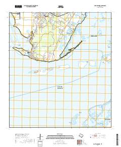
 - 2010 Map of Port Aransas, 2010 Print
 2010 Port Aransas2010 Print · USGSCovers Aransas Pass, including Corpus Christi, Port Aransas, and other nearby areas
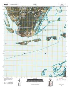
 - 2010 Map of Aransas Pass, 2010 Print
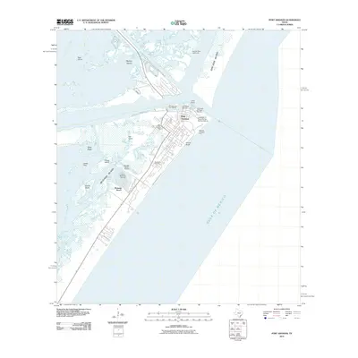
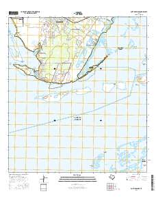
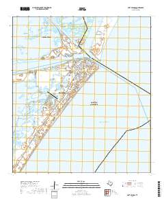
 2010 Aransas Pass2010 Print · USGSCovers Aransas Pass, including Corpus Christi, Ingleside, and other nearby areas
 - 2013 Map of Port Ingleside, 2013 Print
 2013 Port Ingleside2013 Print · USGSCovers Aransas Pass, including Corpus Christi, Ingleside, and other nearby areas
 - 2013 Map of Port Aransas, 2013 Print
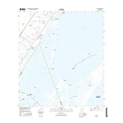
 2013 Port Aransas2013 Print · USGSCovers Aransas Pass, including Corpus Christi, Port Aransas, and other nearby areas
 - 2013 Map of Aransas Pass, 2013 Print
 2013 Aransas Pass2013 Print · USGSCovers Aransas Pass, including Corpus Christi, Ingleside, and other nearby areas
 - 2013 Map of Estes, 2013 Print
 2013 Estes2013 Print · USGSCovers Aransas Pass, including Corpus Christi, Rockport, and other nearby areas
 - 2016 Map of Port Ingleside, 2016 Print
 2016 Port Ingleside2016 Print · USGSCovers Aransas Pass, including Corpus Christi, Ingleside, and other nearby areas
 - 2016 Map of Estes, 2016 Print
 2016 Estes2016 Print · USGSCovers Aransas Pass, including Corpus Christi, Rockport, and other nearby areas
 - 2016 Map of Port Aransas, 2016 Print
 2016 Port Aransas2016 Print · USGSCovers Aransas Pass, including Corpus Christi, Port Aransas, and other nearby areas
 - 2016 Map of Aransas Pass, 2016 Print
 2016 Aransas Pass2016 Print · USGSCovers Aransas Pass, including Corpus Christi, Ingleside, and other nearby areas
 - 2019 Map of Port Aransas, 2019 Print
 2019 Port Aransas2019 Print · USGSCovers Aransas Pass, including Corpus Christi, Port Aransas, and other nearby areas
 - 2019 Map of Estes, 2019 Print
 2019 Estes2019 Print · USGSCovers Aransas Pass, including Corpus Christi, Rockport, and other nearby areas
 - 2019 Map of Aransas Pass, 2019 Print
 2019 Aransas Pass2019 Print · USGSCovers Aransas Pass, including Corpus Christi, Ingleside, and other nearby areas
 - 2019 Map of Port Ingleside, 2019 Print
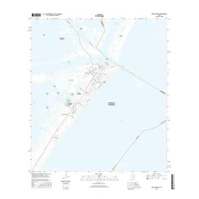
 2019 Port Ingleside2019 Print · USGSCovers Aransas Pass, including Corpus Christi, Ingleside, and other nearby areas
 - 2022 Map of Port Aransas, 2022 Print
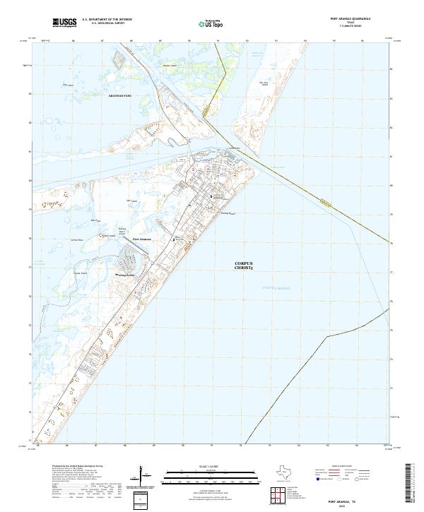 2022 Port Aransas2022 Print · USGSCovers Aransas Pass, including Corpus Christi, Port Aransas, and other nearby areas
 - 2022 Map of Estes, 2022 Print
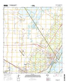
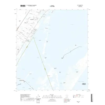 2022 Estes2022 Print · USGSCovers Aransas Pass, including Corpus Christi, Rockport, and other nearby areas
 - 2022 Map of Aransas Pass, 2022 Print
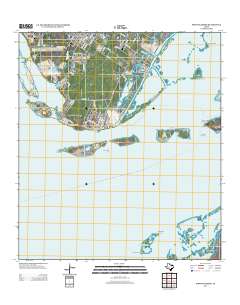
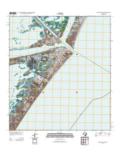
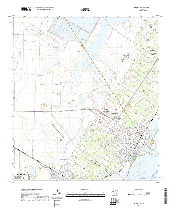 2022 Aransas Pass2022 Print · USGSThe Texas Coastal Bend comes into sharp focus during this period of maritime and residential expansion. Genealogists and local researchers can trace family plots at Prairie View Cem or navigate the waterways around Ransom Island and Redfish Bay.
 - 2022 Map of Port Ingleside, 2022 Print
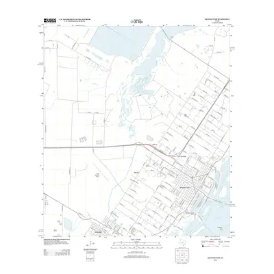
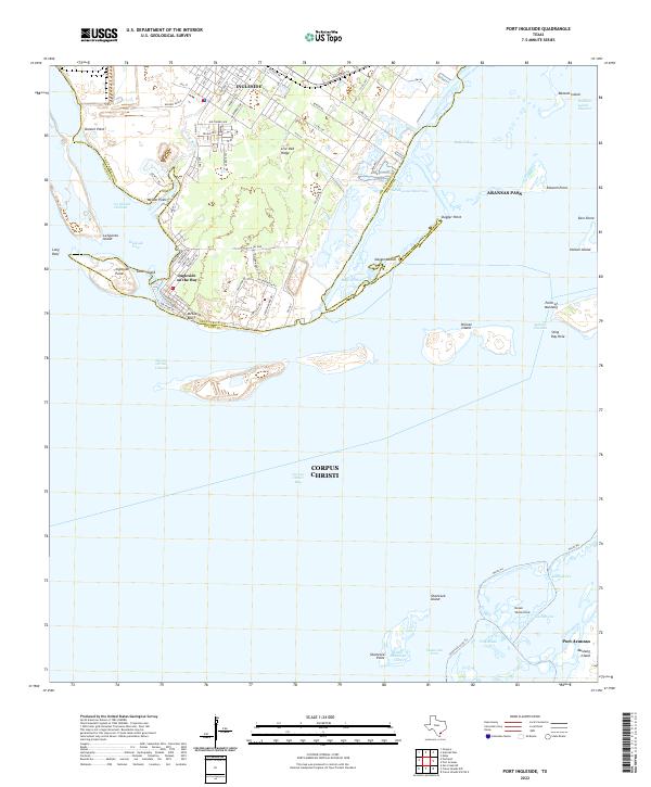 2022 Port Ingleside2022 Print · USGSThe Texas Gulf Coast near Ingleside and Aransas Pass is captured here in the early 2020s. Trace maritime history along the Corpus Christi Channel or explore local landmarks like McGloins Bluff and Live Oak Ridge.
 - 2025 Map of Estes, 2025 Print
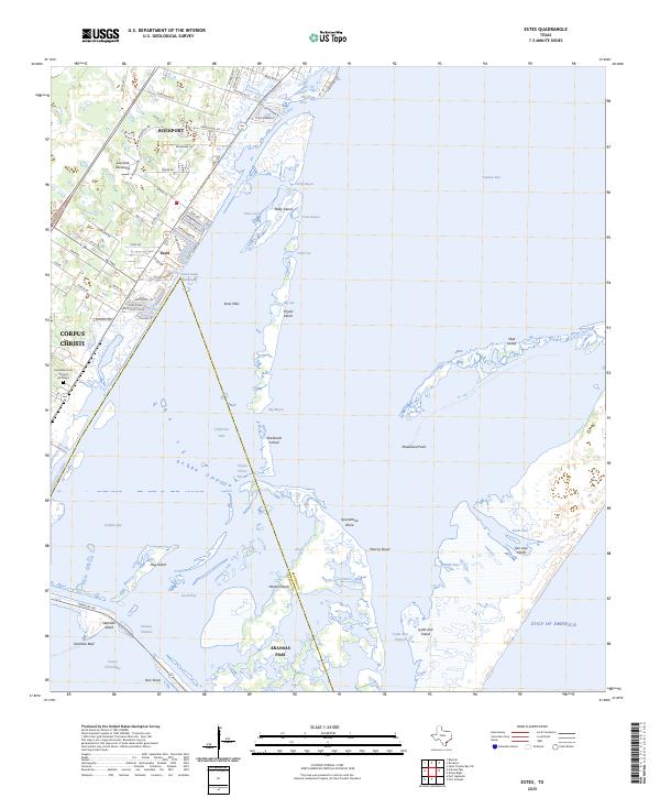 2025 Estes2025 Print · USGSThe Aransas County coastline comes alive in this contemporary record of the Live Oak Peninsula and its barrier islands. Genealogists and historians can trace local landmarks like the Cementerio San Antonio de Padua and the Intracoastal Waterway near Estes.
 - 2025 Map of Port Aransas, 2025 Print
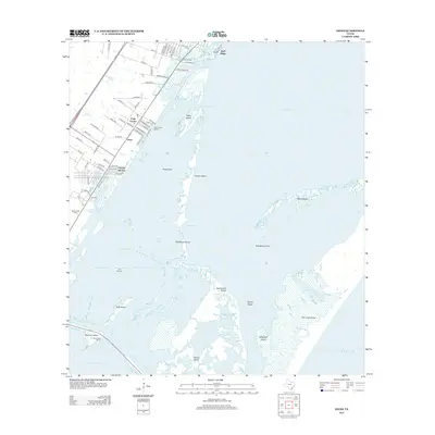
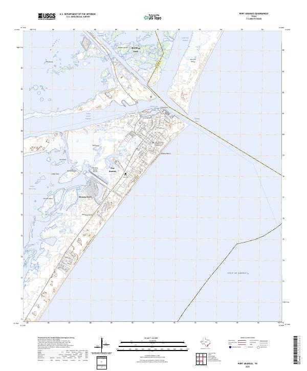 2025 Port Aransas2025 Print · USGSPort Aransas sits at the junction of the Gulf and the coastal channels during this mid-2020s survey of Mustang Island. Researchers can locate Royal Palm Cem, the Mustang Beach Airport, and local landmarks like Turtle Cove.
End of results
Showing maps 1-22 of 22
Top cities near Aransas Pass
- Corpus Christi historical maps
- Portland historical maps
- Rockport historical maps
- Ingleside historical maps
- Port Aransas historical maps
- Gregory historical maps
See more
Top neighborhoods of Aransas Pass
Frequently asked questions
- What are the different types of historical maps available for Aransas Pass?
- What is the oldest map of Aransas Pass?
- Where can I purchase historical maps of Aransas Pass for my home or office?
- Where can I download high-res historical maps of Aransas Pass?
- Are there historical topographic maps available for Aransas Pass?
- Is there historical aerial imagery available for Aransas Pass?
- Where are historical maps of Aransas Pass sourced from?