Old Maps of Anarene, Texas for Hiking & Exploration
Hike through history with 9 historic maps of Anarene. Explore old trails, ghost towns, and forgotten backroads — perfect for outdoor adventurers and local explorers.
- Rediscover forgotten places: Map out old mining camps, roads, and footpaths that no longer exist on modern maps.
- Layer with modern tools: Combine with LiDAR or satellite views to plan hikes through historical terrain.
- Made for exploration: Popular among hikers, overlanders, and local history lovers.
Use these maps to find adventure and explore the hidden past of Anarene.
Anarene, TX maps
(9)- 1954 Map of Wichita Falls, 1966 Print
 1954 Wichita Falls1966 Print · USGSNorth Texas in the mid-fifties is captured here as a landscape of expanding oil fields and vital rail corridors. Genealogists and historians can trace family roots through rural landmarks like Bacon Chapel and the rail-side growth of Seymour and Archer City.3 unique versions available
 - 1958 Map of Wichita Falls
 1958 Wichita Falls1958 Print · USGSNorth Texas during the late fifties reveals a landscape defined by the booming petroleum industry and established rail hubs. Researchers can trace the development of Wichita Falls and discover rural landmarks like Barton's Chapel or the Hull-Silk Oil Field.
 - 1964 Map of Bobcat Bluff, 1967 Print
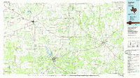
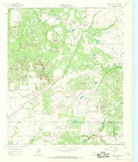 1964 Bobcat Bluff1967 Print · USGSArcher County at the height of the mid-century oil boom reveals a landscape of industrial development and river drainage. Trace the Old Railroad Grade past the Anarene Oil Field and the headwaters of the West Fork Trinity River.
 - 1985 Map of Graham
 1985 Graham1985 Print · USGSNorth Texas in the mid-eighties shows a landscape of growing reservoirs and historic cattle country. Genealogists and historians can trace the foundations of Young County through the Belknap Mountains, Barton Chapel, and the grounds of Fort Richardson State Park.2 unique versions available
 - 2010 Map of Bobcat Bluff, 2010 Print
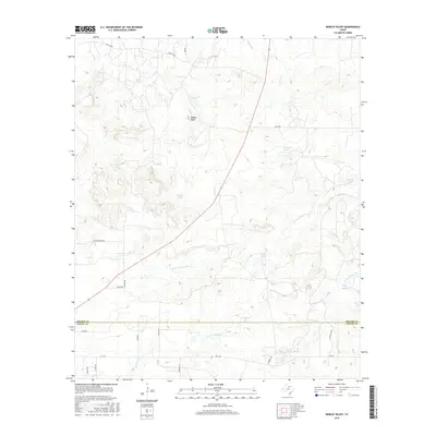
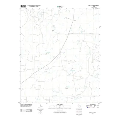 2010 Bobcat Bluff2010 Print · USGSCovers Anarene, including Young County, Archer County, and other nearby areas
 - 2012 Map of Bobcat Bluff, 2012 Print
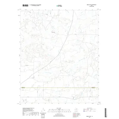
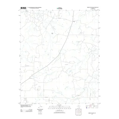 2012 Bobcat Bluff2012 Print · USGSCovers Anarene, including Young County, Archer County, and other nearby areas
 - 2016 Map of Bobcat Bluff, 2016 Print
 2016 Bobcat Bluff2016 Print · USGSCovers Anarene, including Young County, Archer County, and other nearby areas
 - 2019 Map of Bobcat Bluff, 2019 Print
 2019 Bobcat Bluff2019 Print · USGSCovers Anarene, including Young County, Archer County, and other nearby areas
 - 2022 Map of Bobcat Bluff, 2022 Print
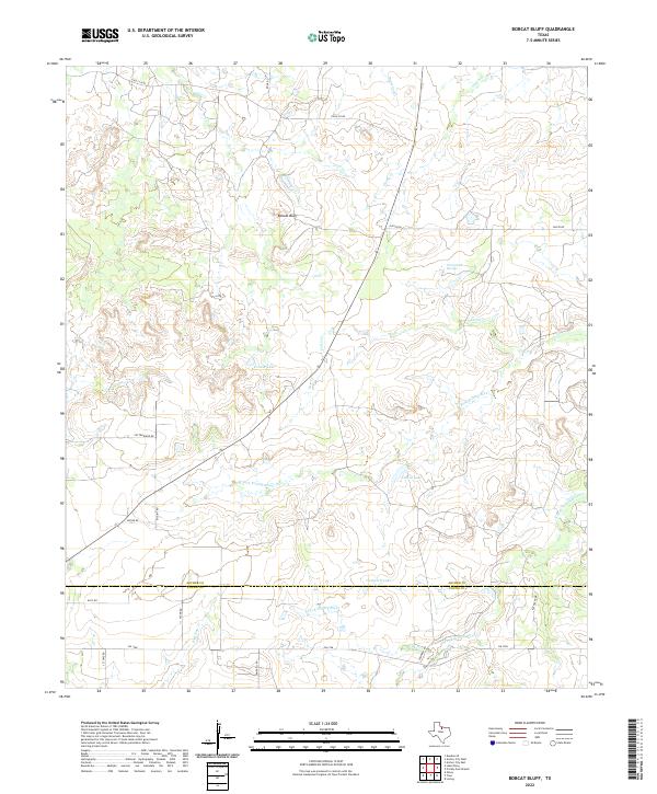 2022 Bobcat Bluff2022 Print · USGSThe borderlands of Archer and Young counties are shown in this modern survey of the Trinity River headwaters. Researchers can trace land boundaries near Bobcat Bluff and locate water sources like Persimmon Springs, Conner Lake, and the S Fork Trinity River.
End of results
Showing maps 1-9 of 9
Top cities near Anarene
Frequently asked questions
- What are the different types of historical maps available for Anarene?
- What is the oldest map of Anarene?
- Where can I purchase historical maps of Anarene for my home or office?
- Where can I download high-res historical maps of Anarene?
- Are there historical topographic maps available for Anarene?
- Is there historical aerial imagery available for Anarene?
- Where are historical maps of Anarene sourced from?