Old Maps of Christine, Texas for Hiking & Exploration
Hike through history with 19 historic maps of Christine. Explore old trails, ghost towns, and forgotten backroads — perfect for outdoor adventurers and local explorers.
- Rediscover forgotten places: Map out old mining camps, roads, and footpaths that no longer exist on modern maps.
- Layer with modern tools: Combine with LiDAR or satellite views to plan hikes through historical terrain.
- Made for exploration: Popular among hikers, overlanders, and local history lovers.
Use these maps to find adventure and explore the hidden past of Christine.
Christine, TX maps
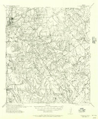
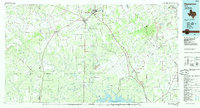
(19)- 1953 Map of Crystal City
 1953 Crystal City1953 Print · USGSSouth Texas in the early fifties was a landscape of expanding oil fields and vital rail connections. Genealogists and researchers can trace family lands along the Nueces River or locate heritage sites in Asherton, Big Wells, and Batesville.
 - 1955 Map of Crystal City, 1976 Print
 1955 Crystal City1976 Print · USGSSouth Texas ranching and oil country come into focus in the mid-fifties as the rail lines and rivers connect growing hubs. Researchers can trace the development of energy fields like Washburn Oil Field or locate historic settlements from Asherton to Three Rivers.
 - 1956 Map of Pleasanton
 1956 Pleasanton1956 Print · USGSPleasanton and the surrounding Atascosa County ranches appear here as they were mapped between the world wars. Genealogists and local historians can trace family properties like the Coughran Ranch and find rural landmarks like Hickcock School and the Temple church.
 - 1956 Map of Jourdanton
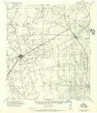 1956 Jourdanton1956 Print · USGSMid-century Atascosa County was a hub of South Texas ranching and rail activity as shown in this 1950s record. Genealogists and historians can locate family-named landmarks like Owdens Ranch, trace the San Antonio Southern rail line, or find the site of the Tobery School.
 - 1961 Map of Crystal City
 1961 Crystal City1961 Print · USGSSouth Texas in the early sixties reveals a landscape of massive cattle ranches and emerging oil fields. Genealogists and historians can trace the Missouri Pacific rail lines through Crystal City, or locate water features like Espantosa Lake and Boynton Reservoir.
 - 1968 Map of Crystal City
 1968 Crystal City1968 Print · USGSSouth Texas in the late sixties reveals a landscape shaped by ranching roots and the vital waters of the Nueces River. Researchers can trace the rail-driven growth of Crystal City or locate landmarks like Pilot Knob and Espantosa Lake.
 - 1968 Map of Christine West, 1971 Print
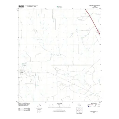
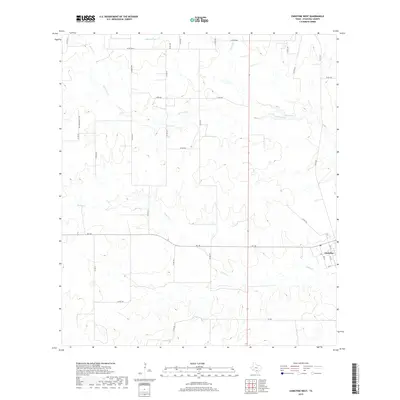
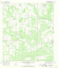 1968 Christine West1971 Print · USGSAtascosa County in the late sixties reveals a landscape defined by the Jourdanton Oil Field and rural ranching. Researchers can trace the layout of Christine, locate family sites near La Parita, and see the network of Oil Wells and pipelines.
 - 1969 Map of Christine East, 1971 Print
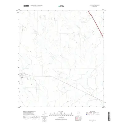
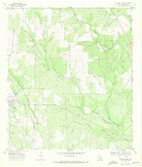 1969 Christine East1971 Print · USGSAtascosa County ranchlands are documented here in the late sixties as the area transitioned away from rail dependency. Genealogists and local historians can trace family-named sites like Bautista Cem, the Old Railroad Grade, and Brown Lake.2 unique versions available
 - 1985 Map of Pleasanton
 1985 Pleasanton1985 Print · USGSSouth Texas in the mid-1980s is characterized by the rise of petroleum and new water projects like the Choke Canyon Reservoir. Genealogists and historians can trace rail-side settlements along the Missouri Pacific and rural hubs such as Amphion, Fashing, and Campbellton.2 unique versions available
 - 2010 Map of Christine East, 2010 Print
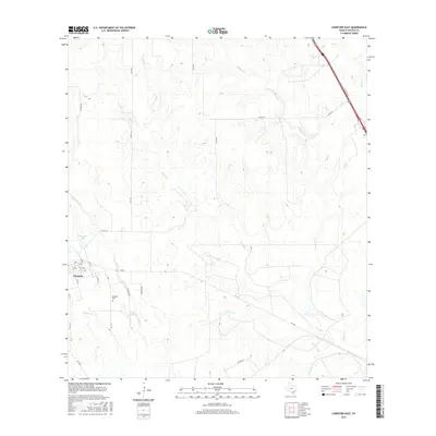
 2010 Christine East2010 Print · USGSCovers Christine, including Atascosa County, United States, and other nearby areas
 - 2010 Map of Christine West, 2010 Print
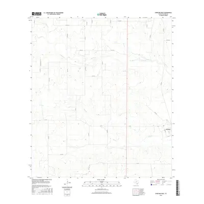
 2010 Christine West2010 Print · USGSCovers Christine, including La Parita, Atascosa County, and other nearby areas
 - 2012 Map of Christine East, 2012 Print
 2012 Christine East2012 Print · USGSCovers Christine, including Atascosa County, United States, and other nearby areas
 - 2013 Map of Christine West, 2013 Print
 2013 Christine West2013 Print · USGSCovers Christine, including La Parita, Atascosa County, and other nearby areas
 - 2016 Map of Christine West, 2016 Print
 2016 Christine West2016 Print · USGSCovers Christine, including La Parita, Atascosa County, and other nearby areas
 - 2016 Map of Christine East, 2016 Print
 2016 Christine East2016 Print · USGSCovers Christine, including Atascosa County, United States, and other nearby areas
 - 2019 Map of Christine West, 2019 Print
 2019 Christine West2019 Print · USGSCovers Christine, including La Parita, Atascosa County, and other nearby areas
 - 2019 Map of Christine East, 2019 Print
 2019 Christine East2019 Print · USGSCovers Christine, including Atascosa County, United States, and other nearby areas
 - 2022 Map of Christine East, 2022 Print
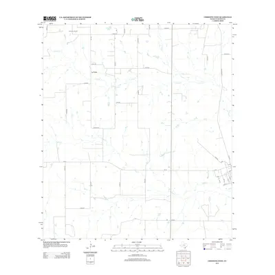
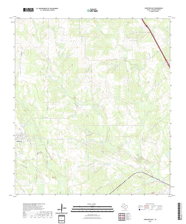 2022 Christine East2022 Print · USGSNear the town of Christine during the early 2020s, this portion of Atascosa County shows a rural landscape shaped by seasonal watercourses and local ranch roads. Researchers can locate the Bautista Cem and trace the paths of Metate Cr and Christine Cr through the brush country.
 - 2022 Map of Christine West, 2022 Print
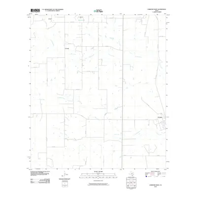
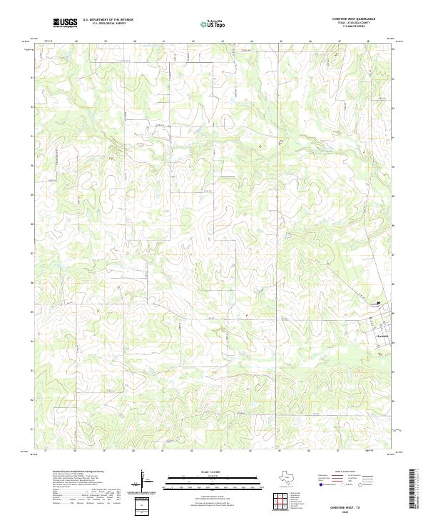 2022 Christine West2022 Print · USGSThe town of Christine and its surrounding ranch lands are captured here in the early 2020s. Researchers can trace the local street grid near the Christine City Cem or follow the drainage of Turkey Cr and La Parita Cr.
End of results
Showing maps 1-19 of 19
Top cities near Christine
- Pleasanton historical maps
- Jourdanton historical maps
- Charlotte historical maps
- Campbellton historical maps
Frequently asked questions
- What are the different types of historical maps available for Christine?
- What is the oldest map of Christine?
- Where can I purchase historical maps of Christine for my home or office?
- Where can I download high-res historical maps of Christine?
- Are there historical topographic maps available for Christine?
- Is there historical aerial imagery available for Christine?
- Where are historical maps of Christine sourced from?