Old Maps of Bellville, Texas
Explore 17 old maps of Bellville, spanning from 1953 to today. These high-resolution historic maps reveal how streets, neighborhoods, landmarks, and natural features evolved over time — perfect for genealogy, metal detecting, research, and local history exploration.
What you can do with these maps:
- See how Bellville changed over time: Compare historical maps to modern-day views to trace roads, homesites, rail lines & more.
- View detailed metadata: Each map includes creators, publishers, year, scale, and archive source.
- Overlay maps with satellite & LiDAR: Visualize the past alongside modern tools to explore terrain & human change.
- Trusted historical sources: Maps sourced from the USGS, Library of Congress, and other archives.
- Access maps your way: View online, download high-res files, or order prints for personal or research use.
Start exploring old maps of Bellville to uncover forgotten places, hidden landmarks, and the deep history beneath your feet.
Bellville, TX maps
(17)- 1953 Map of Seguin, 1965 Print
 1953 Seguin1965 Print · USGSSouth Texas in the early fifties shows a thriving river-and-rail economy across the Guadalupe and Colorado basins. Genealogists and historians can trace rail routes like the Southern Pacific through Seguin, locate oil wells, or find the Gary AAF near San Marcos.4 unique versions available
 - 1956 Map of Bellville
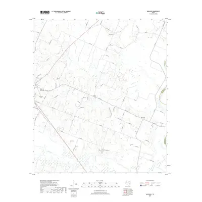
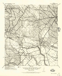 1956 Bellville1956 Print · USGSTexas farming life in the mid-fifties is captured here as small communities and rural school districts thrive along the San Bernard River. Genealogists can trace early homesteads near Industry, New Ulm, and the Cat Springs Sch.
 - 1956 Map of Sealy
 1956 Sealy1956 Print · USGSThe Brazos River valley between Austin and Waller counties is shown here as it transitioned through the early twentieth century. Researchers can locate early post offices at Burleigh PO and Browntown, trace ferry crossings, or find the Cotton Gin and Wesley Chapel.
 - 1958 Map of Seguin
 1958 Seguin1958 Print · USGSSouth Texas in the late fifties was a network of river-valley settlements and active oilfields tied together by major rail lines. Genealogists and historians can trace family-named sites across Rabb Prairie, locate the Behring Store, or follow the Southern Pacific through Schulenburg.
 - 1961 Map of Burleigh, 1962 Print
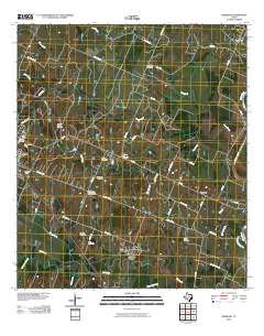
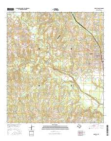
 1961 Burleigh1962 Print · USGSThe Austin County countryside in the early sixties is captured here, centered on the community of Burleigh. Researchers can trace family sites like Coshatte Cem, the Coshatte Agricultural Society Hall, and several local rural schools.2 unique versions available
 - 1963 Map of Bellville, 1982 Print
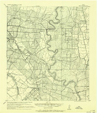
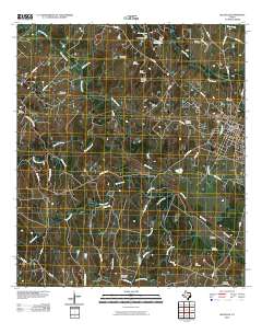
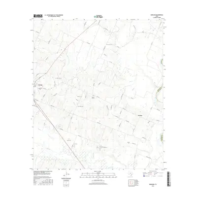
 1963 Bellville1982 Print · USGSBellville and its surrounding Austin County prairies are captured here in the early sixties as the town expanded near the Atchison Topeka and Santa Fe tracks. Trace old family burial sites like Wochement Cem and the industrial layout of the Millheim Gas Field.
 - 1985 Map of Eagle Lake
 1985 Eagle Lake1985 Print · USGSSoutheast Texas in the mid-eighties shows a landscape defined by the Colorado River and a booming energy sector. Genealogists and historians can trace rail-tied towns like La Grange and Fayetteville or locate the Frelsburg Oil Field and Stephen F Austin State Park.2 unique versions available
 - 2010 Map of Bellville, 2010 Print
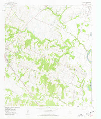
 2010 Bellville2010 Print · USGSCovers Bellville, including Austin County, United States, and other nearby areas
 - 2010 Map of Burleigh, 2010 Print
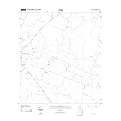
 2010 Burleigh2010 Print · USGSCovers Bellville, including Burleigh, Waller County, and other nearby areas
 - 2013 Map of Burleigh, 2013 Print
 2013 Burleigh2013 Print · USGSCovers Bellville, including Burleigh, Waller County, and other nearby areas
 - 2013 Map of Bellville, 2013 Print
 2013 Bellville2013 Print · USGSCovers Bellville, including Austin County, United States, and other nearby areas
 - 2016 Map of Burleigh, 2016 Print
 2016 Burleigh2016 Print · USGSCovers Bellville, including Burleigh, Waller County, and other nearby areas
 - 2016 Map of Bellville, 2016 Print
 2016 Bellville2016 Print · USGSCovers Bellville, including Austin County, United States, and other nearby areas
 - 2019 Map of Bellville, 2019 Print
 2019 Bellville2019 Print · USGSCovers Bellville, including Austin County, United States, and other nearby areas
 - 2019 Map of Burleigh, 2019 Print
 2019 Burleigh2019 Print · USGSCovers Bellville, including Burleigh, Waller County, and other nearby areas
 - 2022 Map of Burleigh, 2022 Print
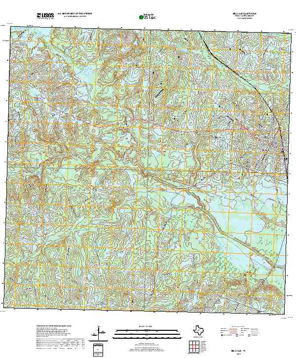
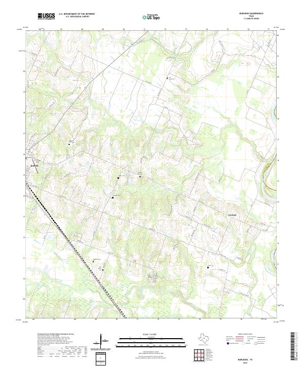 2022 Burleigh2022 Print · USGSEastern Austin County is shown here in the twenty-first century as the Brazos River meanders through a landscape of historic family farms. Genealogists can locate numerous small burial grounds including Menke Cem, Holtz Cem, and the Abel Family Cem.
 - 2022 Map of Bellville, 2022 Print
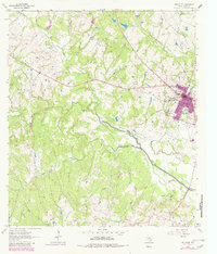
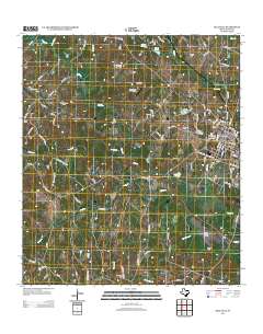
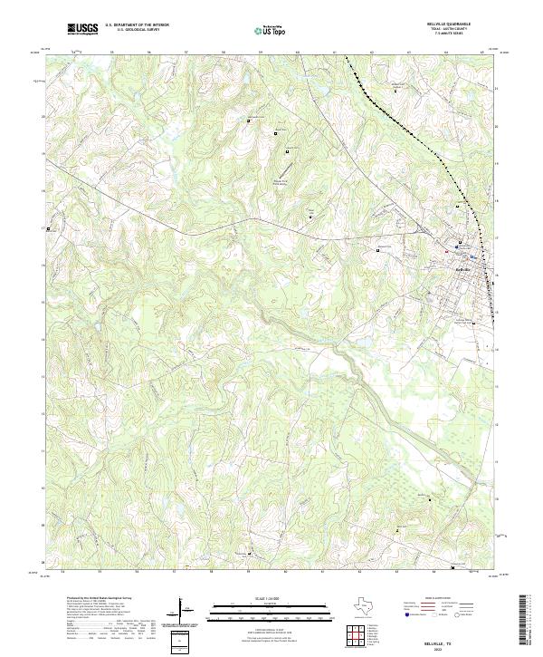 2022 Bellville2022 Print · USGSBellville and its surrounding rural Austin County landscape are documented here in the early twenty-first century. Genealogists can locate family landmarks like the Cumings Family Burial Crypt Cem and Machemehl Cem or trace waterways like Mill Creek.
End of results
Showing maps 1-17 of 17
Top cities near Bellville
- Brenham historical maps
- Sealy historical maps
- Hempstead historical maps
- Pine Island historical maps
- San Felipe historical maps
- Industry historical maps
See more
Frequently asked questions
- What are the different types of historical maps available for Bellville?
- What is the oldest map of Bellville?
- Where can I purchase historical maps of Bellville for my home or office?
- Where can I download high-res historical maps of Bellville?
- Are there historical topographic maps available for Bellville?
- Is there historical aerial imagery available for Bellville?
- Where are historical maps of Bellville sourced from?