Old Maps of Seymour, Texas for Academic Research
Study the evolution of Seymour with 21 high-resolution historic maps. Whether you're teaching, researching, or modeling changes in land use, these maps provide essential visual documentation of urban, environmental, and geographic change.
- Analyze long-term change: Track patterns in development, transportation, and natural features.
- Ideal for environmental or urban studies: Support academic projects with primary historical map data.
- Use in the classroom or lab: Educators and researchers rely on these maps to bring historical context to life.
These maps are a powerful tool for teaching, research, and visualizing how Seymour has changed over the decades.
Seymour, TX maps
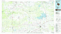
(21)- 1954 Map of Wichita Falls, 1966 Print
 1954 Wichita Falls1966 Print · USGSNorth Texas in the mid-fifties is captured here as a landscape of expanding oil fields and vital rail corridors. Genealogists and historians can trace family roots through rural landmarks like Bacon Chapel and the rail-side growth of Seymour and Archer City.3 unique versions available
 - 1958 Map of Wichita Falls
 1958 Wichita Falls1958 Print · USGSNorth Texas during the late fifties reveals a landscape defined by the booming petroleum industry and established rail hubs. Researchers can trace the development of Wichita Falls and discover rural landmarks like Barton's Chapel or the Hull-Silk Oil Field.
 - 1966 Map of Seymour West, 1968 Print
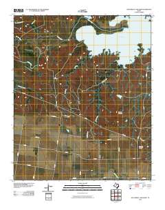
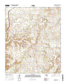
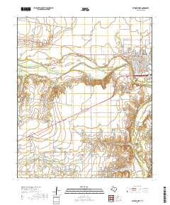
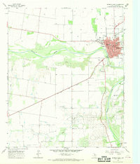 1966 Seymour West1968 Print · USGSMid-century Baylor County comes into focus as the community of Seymour expands near the Brazos River. Genealogists and historians can trace local landmarks like the Cache Creek Cem, the High Sch, and the rail corridor of the Fort Worth and Denver.
 - 1966 Map of Southwest Lake Kemp, 1969 Print
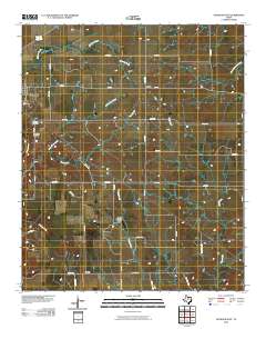
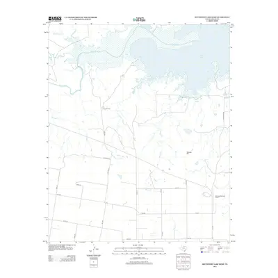
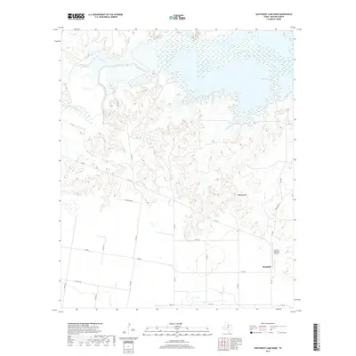
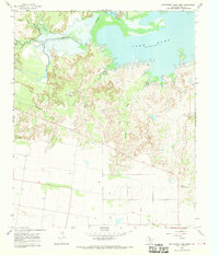 1966 Southwest Lake Kemp1969 Print · USGSBaylor County ranchlands and the expanding southern shores of the reservoir are documented here in the late sixties. Researchers can trace land use through Jones Cow Camp, the Seymour Municipal Airfield, and landmarks like Tabletop Mtn.
 - 1966 Map of Seymour East, 1969 Print
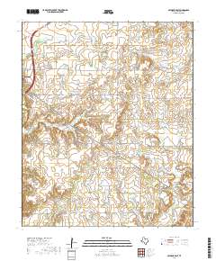
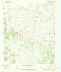 1966 Seymour East1969 Print · USGSBaylor County in the mid-sixties shows a landscape of cattle ranching and rail transit at the edge of the Brazos River. Genealogists and local historians can locate Riverside Cem, the settlement at Lively, and traces of an Old Railroad Grade.
 - 1985 Map of Lake Kemp
 1985 Lake Kemp1985 Print · USGSThe North Texas plains come into sharp focus in the mid-eighties as a region defined by its vast reservoirs and deep-rooted agricultural hubs. Genealogists and local historians can trace the rural landscape surrounding Seymour, the rail lines of the Burlington Northern, and landmarks like The Narrows.2 unique versions available
 - 2010 Map of Southwest Lake Kemp, 2010 Print
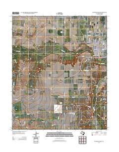
 2010 Southwest Lake Kemp2010 Print · USGSCovers Seymour, including Baylor County, United States, and other nearby areas
 - 2010 Map of Seymour West, 2010 Print
 2010 Seymour West2010 Print · USGSCovers Seymour, including Baylor County, United States, and other nearby areas
 - 2010 Map of Seymour East, 2010 Print
 2010 Seymour East2010 Print · USGSCovers Seymour, including Ogden, Lively, and other nearby areas
 - 2013 Map of Seymour East, 2013 Print
 2013 Seymour East2013 Print · USGSCovers Seymour, including Ogden, Lively, and other nearby areas
 - 2013 Map of Southwest Lake Kemp, 2013 Print
 2013 Southwest Lake Kemp2013 Print · USGSCovers Seymour, including Baylor County, United States, and other nearby areas
 - 2013 Map of Seymour West, 2013 Print
 2013 Seymour West2013 Print · USGSCovers Seymour, including Baylor County, United States, and other nearby areas
 - 2016 Map of Southwest Lake Kemp, 2016 Print
 2016 Southwest Lake Kemp2016 Print · USGSCovers Seymour, including Baylor County, United States, and other nearby areas
 - 2016 Map of Seymour West, 2016 Print
 2016 Seymour West2016 Print · USGSCovers Seymour, including Baylor County, United States, and other nearby areas
 - 2016 Map of Seymour East, 2016 Print
 2016 Seymour East2016 Print · USGSCovers Seymour, including Ogden, Lively, and other nearby areas
 - 2019 Map of Southwest Lake Kemp, 2019 Print
 2019 Southwest Lake Kemp2019 Print · USGSCovers Seymour, including Baylor County, United States, and other nearby areas
 - 2019 Map of Seymour East, 2019 Print
 2019 Seymour East2019 Print · USGSCovers Seymour, including Ogden, Lively, and other nearby areas
 - 2019 Map of Seymour West, 2019 Print
 2019 Seymour West2019 Print · USGSCovers Seymour, including Baylor County, United States, and other nearby areas
 - 2022 Map of Seymour East, 2022 Print
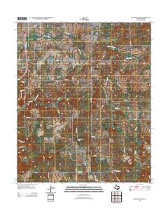
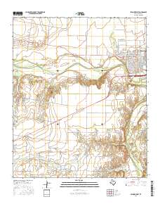
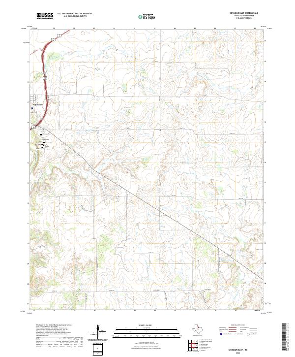 2022 Seymour East2022 Print · USGSThe eastern edges of Baylor County in the early twenty-first century are defined by the winding Brazos River and a dense network of prairie creeks. Genealogists can trace local heritage through a cluster of distinct burial grounds including Masonic Cem, Odd Fellows Cem, and Riverview Cem.
 - 2022 Map of Southwest Lake Kemp, 2022 Print
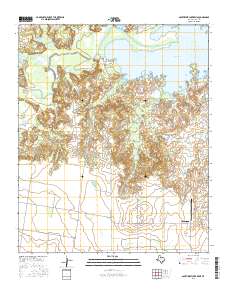
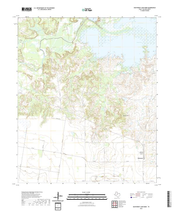 2022 Southwest Lake Kemp2022 Print · USGSThe North Texas plains near the Wichita River are shown here in the early twenty-first century, centered on the diverse terrain south of the reservoir. Researchers can trace land features from Tabletop Mtn down to the shores of Lake Kemp and the outskirts of Seymour.
 - 2022 Map of Seymour West, 2022 Print
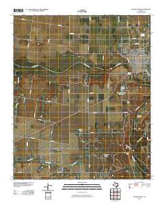
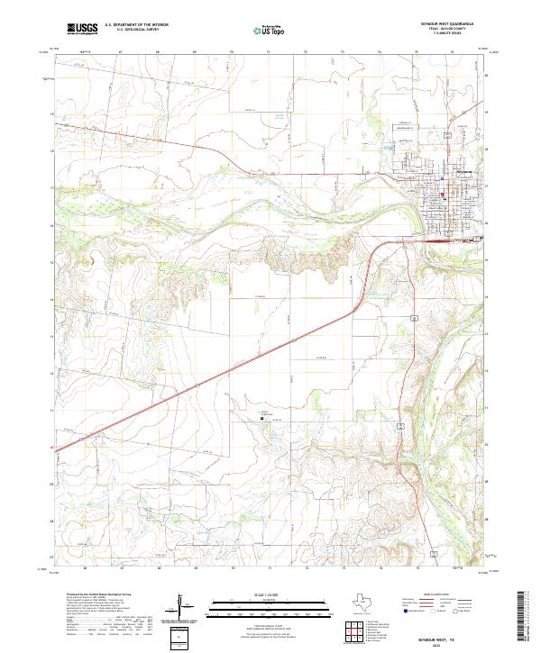 2022 Seymour West2022 Print · USGSSeymour and the surrounding North Texas plains appear here in the early 2020s, showing the intersection of town life and river geography. Trace family roots near the Baylor County Courthouse or locate rural sites like Cache Creek Cem and Fancher Spring.
End of results
Showing maps 1-21 of 21
Frequently asked questions
- What are the different types of historical maps available for Seymour?
- What is the oldest map of Seymour?
- Where can I purchase historical maps of Seymour for my home or office?
- Where can I download high-res historical maps of Seymour?
- Are there historical topographic maps available for Seymour?
- Is there historical aerial imagery available for Seymour?
- Where are historical maps of Seymour sourced from?