Old Maps of Ridge Stone, San Antonio for Metal Detecting
Plan your next treasure hunt with 11 historic maps of Ridge Stone. Find old homesites, ghost towns, trails, and gathering spots that may be lost to time — perfect for identifying promising metal detecting locations.
- Locate forgotten sites: Uncover places like long-lost settlements, abandoned rail lines, or gathering spots.
- Plan better hunts: Use map overlays combined with LiDAR or satellite views to narrow in on historically rich areas.
- Made for detectorists: Thousands of hobbyists use these maps to discover relics, coins, and hidden history.
Use these historic maps to boost your research and find new opportunities beneath the surface of Ridge Stone.
Ridge Stone, San Antonio maps
(11)- 1953 Map of Macdona, 1959 Print
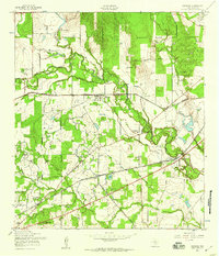 1953 Macdona1959 Print · USGSBexar County's rural southwest transition is on display in the 1950s as rail lines and military reservations shape the landscape. Genealogists can locate family-named sites like Luckey Ranch or research local congregations at Midway Ch and Sacred Heart Ch.
 - 1954 Map of San Antonio, 1964 Print
 1954 San Antonio1964 Print · USGSSan Antonio and the Texas Hill Country are captured here in the mid-fifties, showing a landscape defined by massive military air bases and the rising Canyon Reservoir. Trace family ties through historic rail towns like D'Hanis and Castroville or explore the Cold War footprint of Lackland AFB and Randolph AFB.3 unique versions available
 - 1957 Map of San Antonio
 1957 San Antonio1957 Print · USGSSan Antonio and the Texas Hill Country are shown here during the mid-fifties, capturing the region's expanding post-war military and transportation footprint. Genealogists and local historians can trace the early residential boundaries of Alamo Heights or locate rural landmarks like St Hedwig and Medina Lake.
 - 1967 Map of Macdona, 1969 Print
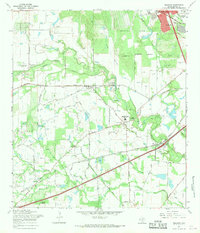 1967 Macdona1969 Print · USGSSouthwest of San Antonio in the late sixties, this area shows a landscape transitioning between rural ranching and growing military and industrial interests. Researchers can find numerous small burial sites like Hermann Cem and San Isidro Cem alongside the Southern Pacific rail line.3 unique versions available
 - 1985 Map of San Antonio
 1985 San Antonio1985 Print · USGSSan Antonio and its surrounding hill country are captured in the mid-eighties during a period of significant suburban and military expansion. Genealogists and historians can trace the footprint of Kelly Air Force Base, old rail lines like the Missouri-Kansas-Texas, and smaller communities like Saspamco or Zuehl.3 unique versions available
 - 1991 Map of Macdona, 1992 Print
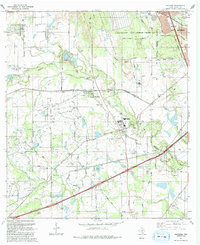 1991 Macdona1992 Print · USGSBexar County's rural southwest transition is captured here in the early nineties, where the Medina River valley meets expanding military and energy interests. Genealogists and local historians can locate numerous family burial sites like Lessing Cem and Hermann Cem, alongside ranching landmarks like Luckey Ranch.
 - 2010 Map of Macdona, 2010 Print
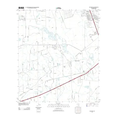
 2010 Macdona2010 Print · USGSCovers Ridge Stone, including San Antonio, Von Ormy, and other nearby areas
 - 2013 Map of Macdona, 2013 Print
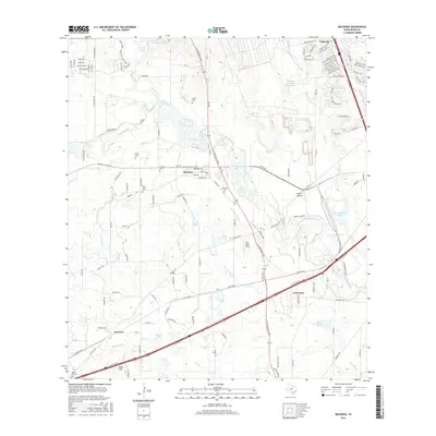
 2013 Macdona2013 Print · USGSCovers Ridge Stone, including San Antonio, Von Ormy, and other nearby areas
 - 2016 Map of Macdona, 2016 Print
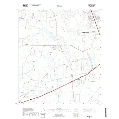
 2016 Macdona2016 Print · USGSCovers Ridge Stone, including San Antonio, Von Ormy, and other nearby areas
 - 2019 Map of Macdona, 2019 Print
 2019 Macdona2019 Print · USGSCovers Ridge Stone, including San Antonio, Von Ormy, and other nearby areas
 - 2022 Map of Macdona, 2022 Print
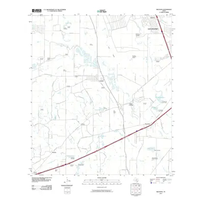
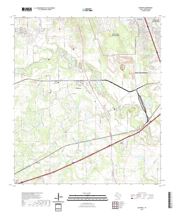 2022 Macdona2022 Print · USGSBexar County south of San Antonio shows a unique blend of early settlement history and river geography in this recent survey. Genealogists can locate several historic burial sites, including Becker Cem, San Isidro Cem, and McCulloch Cem.
End of results
Showing maps 1-11 of 11
Frequently asked questions
- What are the different types of historical maps available for Ridge Stone?
- What is the oldest map of Ridge Stone?
- Where can I purchase historical maps of Ridge Stone for my home or office?
- Where can I download high-res historical maps of Ridge Stone?
- Are there historical topographic maps available for Ridge Stone?
- Is there historical aerial imagery available for Ridge Stone?
- Where are historical maps of Ridge Stone sourced from?