Old Maps of Rocky Creek, Texas
Explore 11 old maps of Rocky Creek, spanning from 1894 to today. These high-resolution historic maps reveal how streets, neighborhoods, landmarks, and natural features evolved over time — perfect for genealogy, metal detecting, research, and local history exploration.
What you can do with these maps:
- See how Rocky Creek changed over time: Compare historical maps to modern-day views to trace roads, homesites, rail lines & more.
- View detailed metadata: Each map includes creators, publishers, year, scale, and archive source.
- Overlay maps with satellite & LiDAR: Visualize the past alongside modern tools to explore terrain & human change.
- Trusted historical sources: Maps sourced from the USGS, Library of Congress, and other archives.
- Access maps your way: View online, download high-res files, or order prints for personal or research use.
Start exploring old maps of Rocky Creek to uncover forgotten places, hidden landmarks, and the deep history beneath your feet.
Rocky Creek, TX maps
(11)- 1894 Map of Fredericksburg
 1894 Fredericksburg1894 Print · USGSTexas Hill Country life in the late 1800s is centered on Fredericksburg and the banks of the Pedernales River. Genealogists and historians can trace early settlements and post offices like Martinsburgh, Westbrook, and the curiously named Blowout.4 unique versions available
 - 1954 Map of Llano, 1964 Print
 1954 Llano1964 Print · USGSThe Texas Hill Country and Highland Lakes appear in the mid-fifties, just as new reservoirs began reshaping the landscape. Trace ranching history and river routes from Mason to Llano, or follow the Gulf Colorado and Santa Fe RR past Buchanan Lake.2 unique versions available
 - 1955 Map of Llano
 1955 Llano1955 Print · USGSCentral Texas and the Hill Country are seen here during the mid-1950s growth of the Highland Lakes. Trace old settlements and geologic landmarks from Enchanted Rock and Longhorn Cavern to the small community of Luckenbach.
 - 1956 Map of Llano, 1976 Print
 1956 Llano1976 Print · USGSThe Texas Hill Country comes alive in this mid-seventies survey of the Llano Uplift and Colorado River lakes. Genealogists and historians can trace family roots through settlements like Luckenbach and Castell or locate the famed L B J Ranch and Enchanted Rock.
 - 1961 Map of Rocky Creek, 1962 Print
 1961 Rocky Creek1962 Print · USGSThe Texas Hill Country at the start of the 1960s reveals a quiet landscape of riverside quarries and family-named landmarks. Genealogists and local historians can trace the Post Oak Cem or locate the various water sources like Smith Spring and the Pedernales River.2 unique versions available
 - 1985 Map of Pedernales River
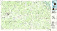 1985 Pedernales River1985 Print · USGSThe Texas Hill Country comes alive in the mid-1980s, documenting a landscape of ranching roots and presidential history. Researchers can trace historic settlements like Luckenbach, the presidential grounds of Lyndon B. Johnson National Historic Park, and the early rail path of the Southern Pacific Railroad.2 unique versions available
 - 2010 Map of Rocky Creek, 2010 Print
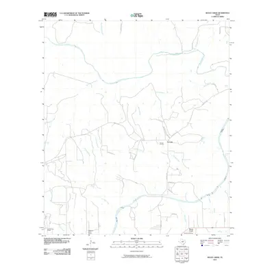 2010 Rocky Creek2010 Print · USGSBlanco County’s ranching heartland is captured here in the early 2010s, defined by the winding Pedernales River and rural homesteads. Genealogists and local historians can locate Post Oak Cemetery and trace the many branches of North Grape Creek across the landscape.
 - 2012 Map of Rocky Creek, 2012 Print
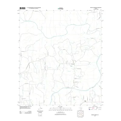 2012 Rocky Creek2012 Print · USGSBlanco County ranch lands and spring-fed waterways are documented here in the early twenty-first century. Researchers can trace family-named tracts along the Pedernales River and locate local landmarks like the Post Oak Cem and Rocky Creek Springs.
 - 2016 Map of Rocky Creek, 2016 Print
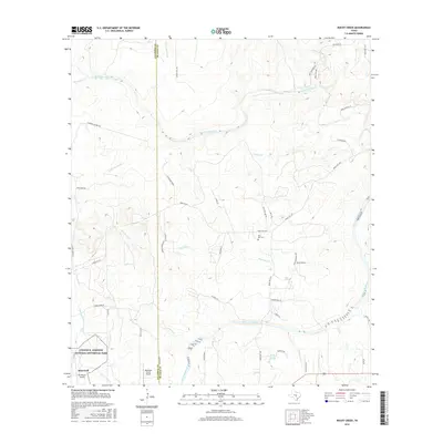 2016 Rocky Creek2016 Print · USGSThis mid-2010s survey captures the presidential ranch lands and rural Texas Hill Country life along the Pedernales River. Researchers can trace local family roots at the Post Oak Cem or explore landmarks like Stonewall and Rocky Creek Springs.
 - 2019 Map of Rocky Creek, 2019 Print
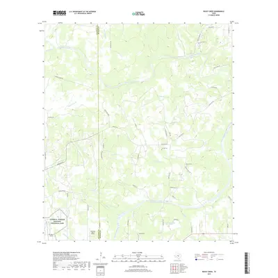 2019 Rocky Creek2019 Print · USGSThe Texas Hill Country at the Gillespie and Blanco county line is captured here in the late 2010s. Researchers can trace the grounds of the Lyndon B. Johnson National Historical Park and locate local landmarks like Post Oak Cem and Rocky Creek Springs.
 - 2022 Map of Rocky Creek, 2022 Print
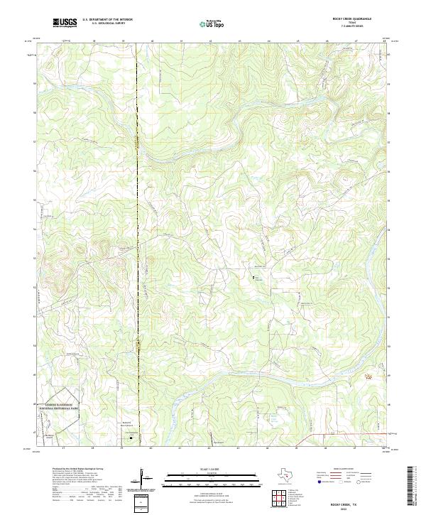 2022 Rocky Creek2022 Print · USGSThis Hill Country landscape on the Gillespie and Blanco county line is defined by its presidential history and river geography in the early 2020s. Genealogists and historians can trace the Lyndon B Johnson National Historical Park and find local burials at Post Oak Cem.
End of results
Showing maps 1-11 of 11
Top cities near Rocky Creek
- Johnson City historical maps
- Blanco historical maps
- Round Mountain historical maps
- Hye historical maps
- Flugrath historical maps
Frequently asked questions
- What are the different types of historical maps available for Rocky Creek?
- What is the oldest map of Rocky Creek?
- Where can I purchase historical maps of Rocky Creek for my home or office?
- Where can I download high-res historical maps of Rocky Creek?
- Are there historical topographic maps available for Rocky Creek?
- Is there historical aerial imagery available for Rocky Creek?
- Where are historical maps of Rocky Creek sourced from?