2000s (21st Century) Maps of College Station, Texas
Explore 25 historic maps of College Station from the 2000s (21st Century). These maps offer a rare glimpse into what life looked like during the 2000s — showing old roads, neighborhoods, homes, and landmarks that have changed or disappeared over time.
Whether you're researching your family's past, planning a metal detecting trip, or studying how College Station's landscape evolved across the 2000s, these high-resolution maps are a powerful tool for exploring the history of this region.
- Focus on a specific era: All maps on this page are from the 2000s, giving you a focused view of this time period.
- See what’s changed: Compare century-old streets, trails, and buildings to today's modern landscape using overlays and satellite layers.
- Research with precision: Use these maps for genealogy, historical research, land use analysis, or educational projects.
- View, download, or print: Maps are fully viewable online in high resolution, and can be downloaded or printed for your own records.
Start exploring College Station's history through authentic maps from the 2000s. This is your window into the past.
College Station, TX maps
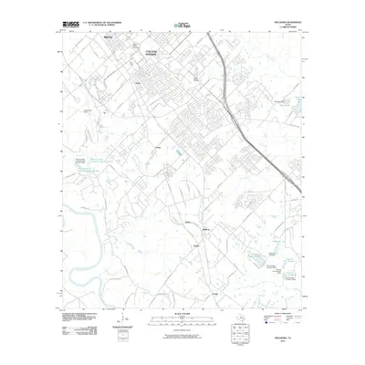
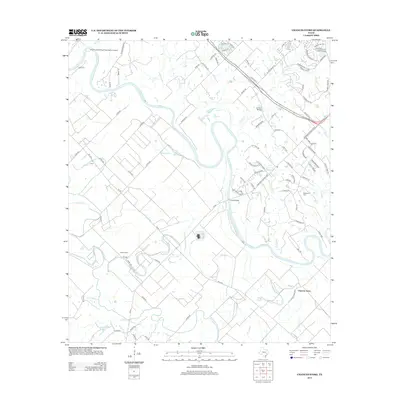
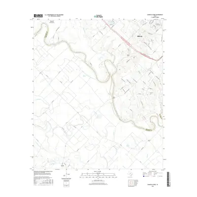
(25)- 2010 Map of Chances Store, 2010 Print
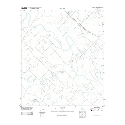 2010 Chances Store2010 Print · USGSCovers College Station, including Bryan, Snook, and other nearby areas
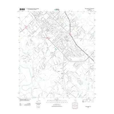
 - 2010 Map of Bryan East, 2010 Print
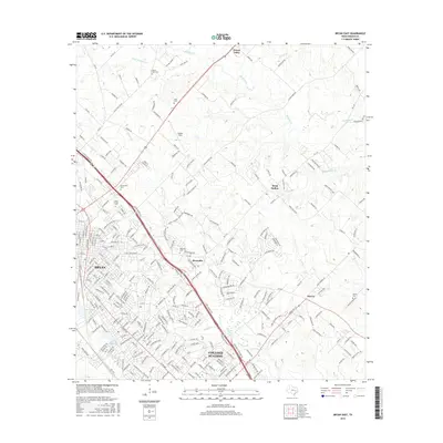
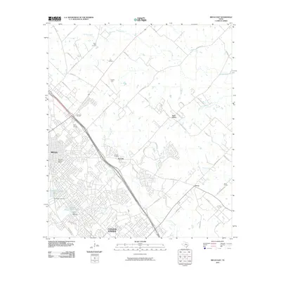 2010 Bryan East2010 Print · USGSCovers College Station, including Bryan, Wixon Valley, and other nearby areas
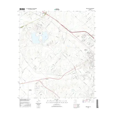
 - 2010 Map of Bryan West, 2010 Print
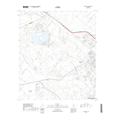
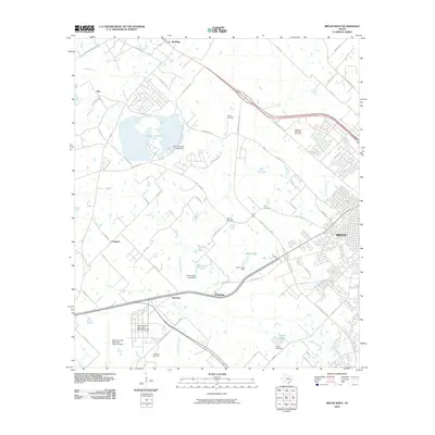 2010 Bryan West2010 Print · USGSCovers College Station, including Bryan, Fairview, and other nearby areas
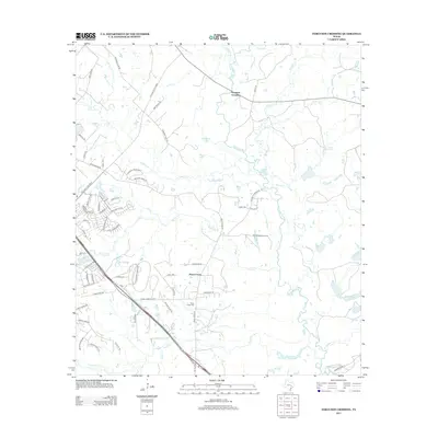
 - 2010 Map of Ferguson Crossing, 2010 Print
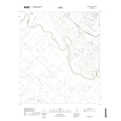
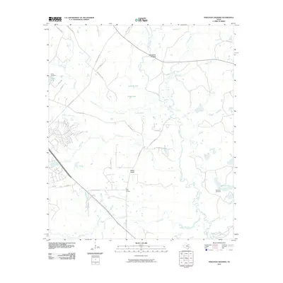 2010 Ferguson Crossing2010 Print · USGSCovers College Station, including Ferguson Crossing, Peach Creek, and other nearby areas
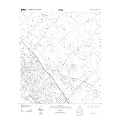
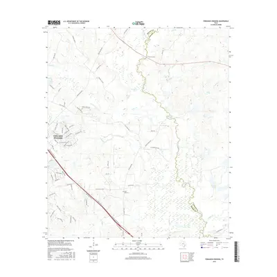
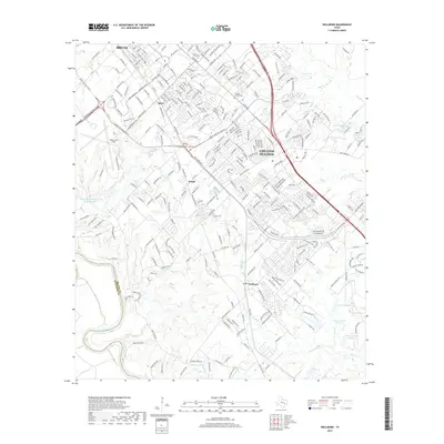
 - 2010 Map of Wellborn, 2010 Print
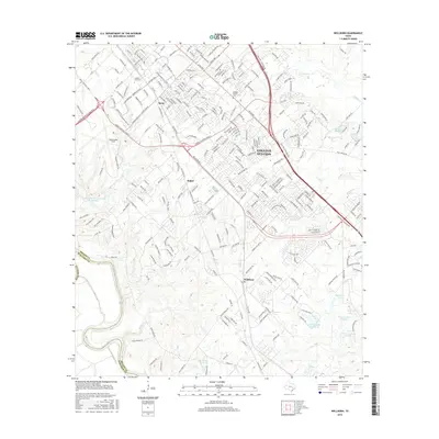
 2010 Wellborn2010 Print · USGSCovers College Station, including Bryan, Enright, and other nearby areas
 - 2013 Map of Bryan West, 2013 Print
 2013 Bryan West2013 Print · USGSCovers College Station, including Bryan, Fairview, and other nearby areas
 - 2013 Map of Bryan East, 2013 Print
 2013 Bryan East2013 Print · USGSCovers College Station, including Bryan, Wixon Valley, and other nearby areas
 - 2013 Map of Ferguson Crossing, 2013 Print
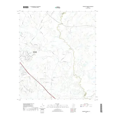
 2013 Ferguson Crossing2013 Print · USGSCovers College Station, including Ferguson Crossing, Peach Creek, and other nearby areas
 - 2013 Map of Wellborn, 2013 Print
 2013 Wellborn2013 Print · USGSCovers College Station, including Bryan, Enright, and other nearby areas
 - 2013 Map of Chances Store, 2013 Print
 2013 Chances Store2013 Print · USGSCovers College Station, including Bryan, Snook, and other nearby areas
 - 2016 Map of Ferguson Crossing, 2016 Print
 2016 Ferguson Crossing2016 Print · USGSCovers College Station, including Ferguson Crossing, Peach Creek, and other nearby areas
 - 2016 Map of Chances Store, 2016 Print
 2016 Chances Store2016 Print · USGSCovers College Station, including Bryan, Snook, and other nearby areas
 - 2016 Map of Bryan West, 2016 Print
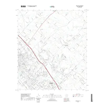
 2016 Bryan West2016 Print · USGSCovers College Station, including Bryan, Fairview, and other nearby areas
 - 2016 Map of Bryan East, 2016 Print
 2016 Bryan East2016 Print · USGSCovers College Station, including Bryan, Wixon Valley, and other nearby areas
 - 2016 Map of Wellborn, 2016 Print
 2016 Wellborn2016 Print · USGSCovers College Station, including Bryan, Enright, and other nearby areas
 - 2019 Map of Bryan West, 2019 Print
 2019 Bryan West2019 Print · USGSCovers College Station, including Bryan, Fairview, and other nearby areas
 - 2019 Map of Chances Store, 2019 Print
 2019 Chances Store2019 Print · USGSCovers College Station, including Bryan, Snook, and other nearby areas
 - 2019 Map of Wellborn, 2019 Print
 2019 Wellborn2019 Print · USGSCovers College Station, including Bryan, Enright, and other nearby areas
 - 2019 Map of Ferguson Crossing, 2019 Print
 2019 Ferguson Crossing2019 Print · USGSCovers College Station, including Ferguson Crossing, Peach Creek, and other nearby areas
 - 2019 Map of Bryan East, 2019 Print
 2019 Bryan East2019 Print · USGSCovers College Station, including Bryan, Wixon Valley, and other nearby areas
 - 2022 Map of Chances Store, 2022 Print
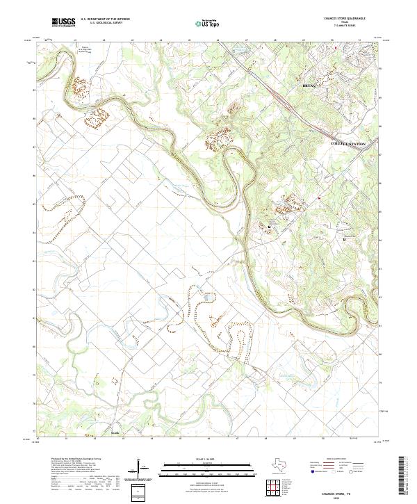 2022 Chances Store2022 Print · USGSThe Brazos River bottomlands west of Bryan and College Station come into sharp focus in this recent survey. Local historians can trace family landmarks like the Newsome Cem and Clayton Baptist Church amidst the winding channels of Old River.
 - 2022 Map of Wellborn, 2022 Print
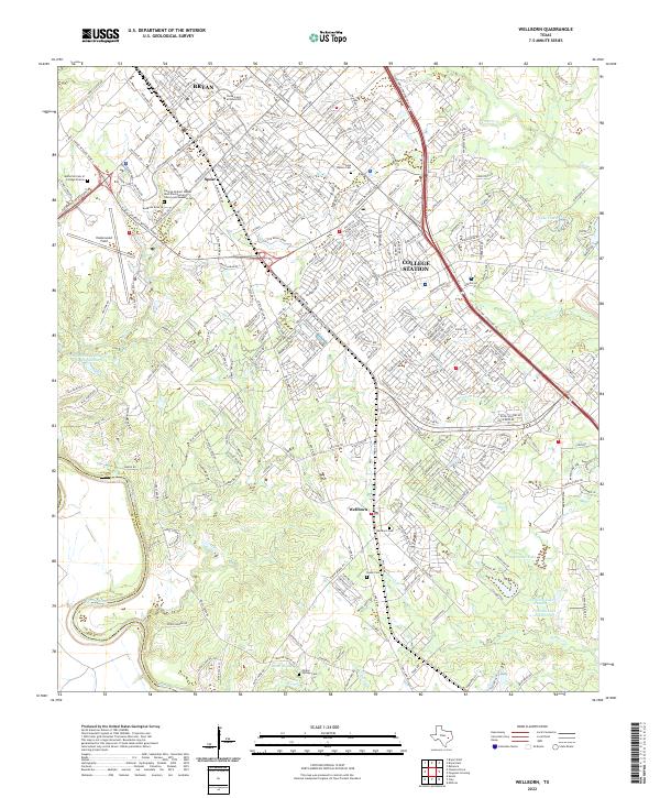 2022 Wellborn2022 Print · USGSThe academic heart of Brazos County is captured in the early 2020s, centered on Texas A and M University and its surrounding communities. Researchers can trace local history through the Wellborn Cem and the Bush Presidential Library.
 - 2022 Map of Bryan West, 2022 Print
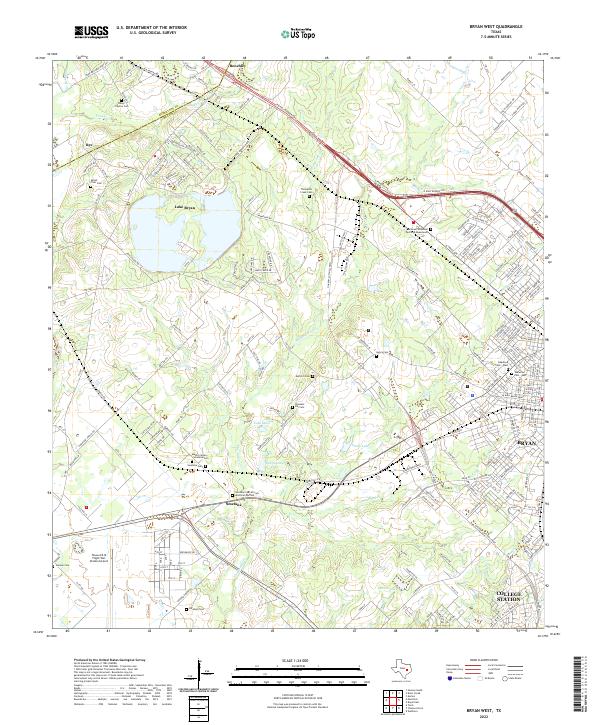 2022 Bryan West2022 Print · USGSBrazos County's western expansion meets rural history in this 2022 survey of the areas surrounding Bryan and College Station. Genealogists and historians can trace numerous family burial grounds including Mount Tiver Cem and the Smetana Cem African American Section.
 - 2022 Map of Bryan East, 2022 Print
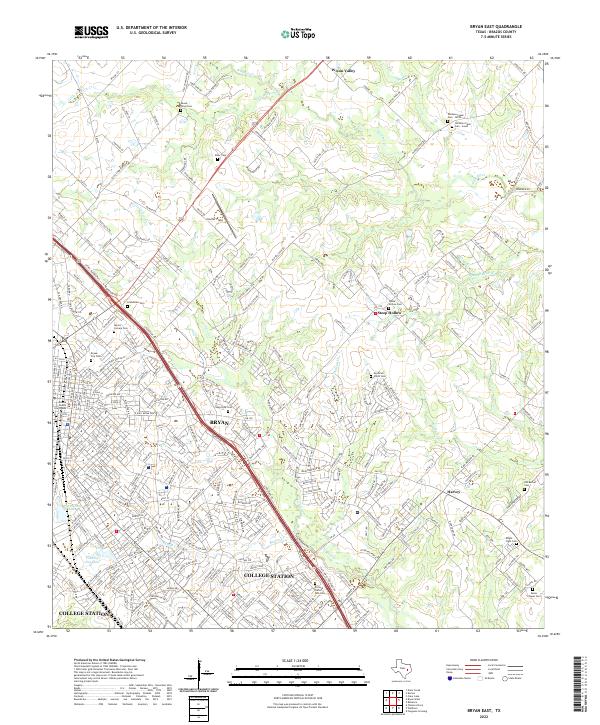 2022 Bryan East2022 Print · USGSBrazos County is shown during a period of significant urban growth as Bryan and College Station expand into the surrounding ranch land. Genealogists can trace family names at the Moravian Czech Cem, Mount Olive Cem, and Boonville Cem.
 - 2022 Map of Ferguson Crossing, 2022 Print
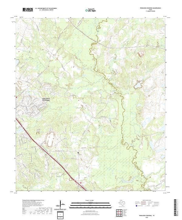 2022 Ferguson Crossing2022 Print · USGSBrazos and Grimes counties meet along the winding Navasota River as College Station expands into the surrounding countryside. Genealogists and local historians can trace family ties at Peach Creek Cem or locate old water sources like Lamb Spring and Sulphur Spring.
End of results
Showing maps 1-25 of 25
Top cities near College Station
- Bryan historical maps
- Navasota historical maps
- Somerville historical maps
- Snook historical maps
- Millican historical maps
- Kurten historical maps
See more
Top neighborhoods of College Station
- Wicker historical maps
- Wellborn historical maps
- Koppe historical maps
- Rudder Plaza historical maps
- Sorority Row historical maps
- University Apartments - The Gardens historical maps
See more
Frequently asked questions
- What are the different types of historical maps available for College Station?
- What is the oldest map of College Station?
- Where can I purchase historical maps of College Station for my home or office?
- Where can I download high-res historical maps of College Station?
- Are there historical topographic maps available for College Station?
- Is there historical aerial imagery available for College Station?
- Where are historical maps of College Station sourced from?