Old Maps of College Station, Texas for Hiking & Exploration
Hike through history with 34 historic maps of College Station. Explore old trails, ghost towns, and forgotten backroads — perfect for outdoor adventurers and local explorers.
- Rediscover forgotten places: Map out old mining camps, roads, and footpaths that no longer exist on modern maps.
- Layer with modern tools: Combine with LiDAR or satellite views to plan hikes through historical terrain.
- Made for exploration: Popular among hikers, overlanders, and local history lovers.
Use these maps to find adventure and explore the hidden past of College Station.
College Station, TX maps
(34)- 1954 Map of Austin, 1964 Print
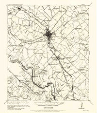
 1954 Austin1964 Print · USGSCentral Texas is captured during a period of steady growth as the capital city and its neighboring farm towns began to modernize. Researchers can trace historic rail corridors like the Southern Pacific RR or locate landmarks such as Bergstrom Air Force Base and Pilot Knob.4 unique versions available
 - 1956 Map of Bryan
 1956 Bryan1956 Print · USGSBrazos County is shown in the era of early college expansion and steam rail, centered on the growing campus of Texas A&M College. Genealogists and historians can trace defunct post offices and rural school sites like Benchley P.O., Woodville School, and the settlement of Boonville.
 - 1956 Map of Carlos
 1956 Carlos1956 Print · USGSGrimes and Brazos counties appear here in a transition from military to civil use, mapping the rural landscape along the Navasota River. Genealogists and historians can trace early schoolhouses like Independence S.H. and vanished rail sidings such as Grimes Switch.
 - 1959 Map of Ferguson Crossing, 1960 Print
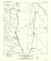
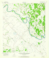
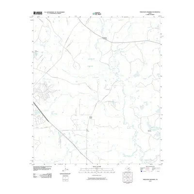
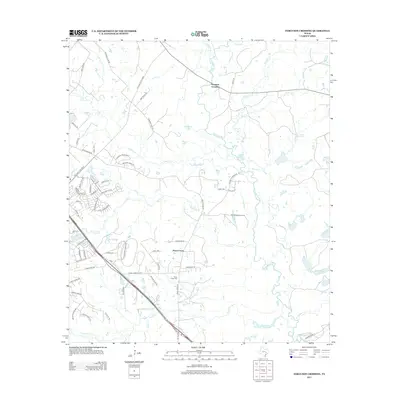
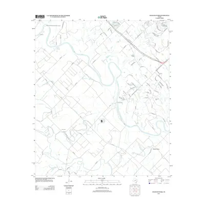
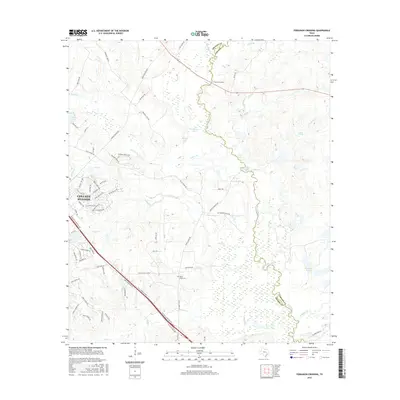
 1959 Ferguson Crossing1960 Print · USGSThe Brazos and Grimes county line along the Navasota River comes into focus in the late fifties, showcasing a rural Texas landscape of river bottoms and family landmarks. Genealogists and researchers can locate the Peach Creek Cem, the Rodeo Ground, and the historic namesake of Ferguson Crossing.3 unique versions available
 - 1961 Map of Wellborn, 1965 Print
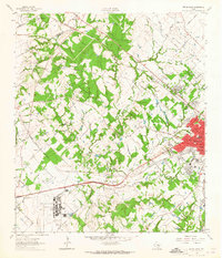
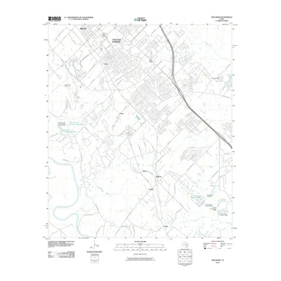
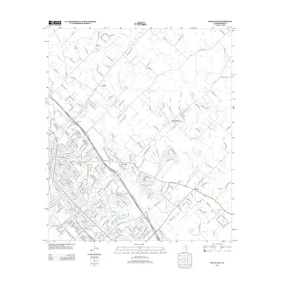
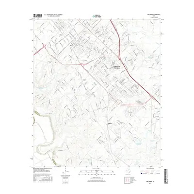
 1961 Wellborn1965 Print · USGSBrazos County during the early 1960s showcases the growing footprint of Texas A & M University alongside traditional rail-side settlements. Genealogists and historians can trace rural life through landmarks like Salem Ch, the College Station Cem, and old stops along the Missouri Pacific railroad.4 unique versions available
 - 1962 Map of Chances Store, 1964 Print
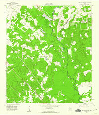
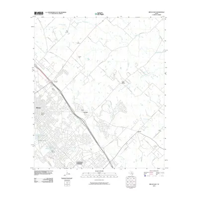
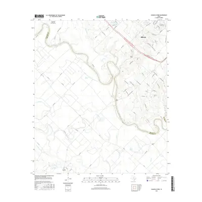
 1962 Chances Store1964 Print · USGSBrazos and Burleson counties are shown here in the early sixties as the Brazos River meanders through a landscape of rural stores and family farms. Researchers can locate the Newsome Cemetery, Jones High School, and community landmarks like Chances Store and Grant.5 unique versions available
 - 1962 Map of Bryan East, 1964 Print
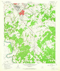
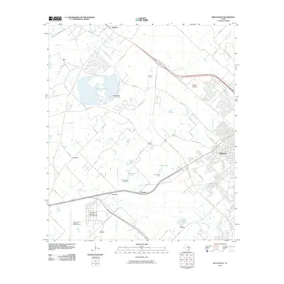
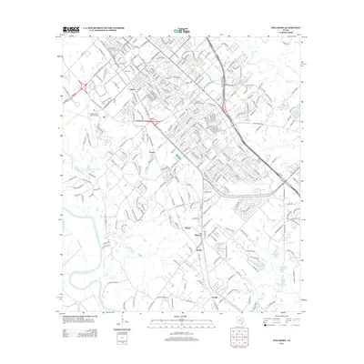
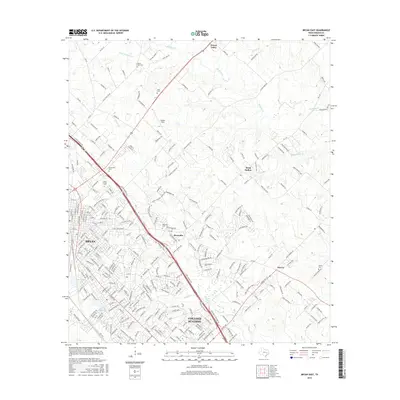
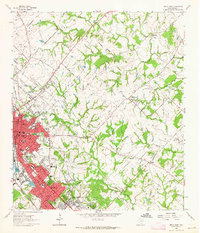 1962 Bryan East1964 Print · USGSThe Bryan and College Station area is captured during a period of significant mid-century growth. Genealogists and local historians can trace family-named landmarks such as Kizer Cem, explore the rural settlement at Boonville, and locate early schools like Fannin Sch.5 unique versions available
 - 1962 Map of Bryan West, 1965 Print
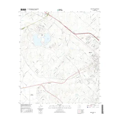
 1962 Bryan West1965 Print · USGSBrazos County in the early sixties shows the westward expansion of Bryan toward the Little Brazos River. Trace family roots at Rest-Ever Memorial Cem or explore the rail-side life in Smetana and Benchley.4 unique versions available
 - 1993 Map of Bryan
 1993 Bryan1993 Print · USGSBrazos Valley life in the early nineties centered on the rapid growth of College Station and the agricultural heartbeat of the river bottomlands. Genealogists and historians can trace the paths of the Kings Highway, several rail lines, and local landmarks like City Cem and Texas A&M University.
 - 2010 Map of Chances Store, 2010 Print
 2010 Chances Store2010 Print · USGSCovers College Station, including Bryan, Snook, and other nearby areas
 - 2010 Map of Bryan East, 2010 Print
 2010 Bryan East2010 Print · USGSCovers College Station, including Bryan, Wixon Valley, and other nearby areas
 - 2010 Map of Bryan West, 2010 Print
 2010 Bryan West2010 Print · USGSCovers College Station, including Bryan, Fairview, and other nearby areas
 - 2010 Map of Ferguson Crossing, 2010 Print
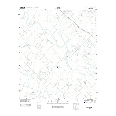
 2010 Ferguson Crossing2010 Print · USGSCovers College Station, including Ferguson Crossing, Peach Creek, and other nearby areas
 - 2010 Map of Wellborn, 2010 Print
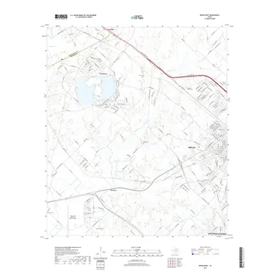
 2010 Wellborn2010 Print · USGSCovers College Station, including Bryan, Enright, and other nearby areas
 - 2013 Map of Bryan West, 2013 Print
 2013 Bryan West2013 Print · USGSCovers College Station, including Bryan, Fairview, and other nearby areas
 - 2013 Map of Bryan East, 2013 Print
 2013 Bryan East2013 Print · USGSCovers College Station, including Bryan, Wixon Valley, and other nearby areas
 - 2013 Map of Ferguson Crossing, 2013 Print
 2013 Ferguson Crossing2013 Print · USGSCovers College Station, including Ferguson Crossing, Peach Creek, and other nearby areas
 - 2013 Map of Wellborn, 2013 Print
 2013 Wellborn2013 Print · USGSCovers College Station, including Bryan, Enright, and other nearby areas
 - 2013 Map of Chances Store, 2013 Print
 2013 Chances Store2013 Print · USGSCovers College Station, including Bryan, Snook, and other nearby areas
 - 2016 Map of Ferguson Crossing, 2016 Print
 2016 Ferguson Crossing2016 Print · USGSCovers College Station, including Ferguson Crossing, Peach Creek, and other nearby areas
 - 2016 Map of Chances Store, 2016 Print
 2016 Chances Store2016 Print · USGSCovers College Station, including Bryan, Snook, and other nearby areas
 - 2016 Map of Bryan West, 2016 Print
 2016 Bryan West2016 Print · USGSCovers College Station, including Bryan, Fairview, and other nearby areas
 - 2016 Map of Bryan East, 2016 Print
 2016 Bryan East2016 Print · USGSCovers College Station, including Bryan, Wixon Valley, and other nearby areas
 - 2016 Map of Wellborn, 2016 Print
 2016 Wellborn2016 Print · USGSCovers College Station, including Bryan, Enright, and other nearby areas
 - 2019 Map of Bryan West, 2019 Print
 2019 Bryan West2019 Print · USGSCovers College Station, including Bryan, Fairview, and other nearby areas
Showing maps 1-25 of 34
Top cities near College Station
- Bryan historical maps
- Navasota historical maps
- Somerville historical maps
- Snook historical maps
- Millican historical maps
- Kurten historical maps
See more
Top neighborhoods of College Station
- Wicker historical maps
- Wellborn historical maps
- Koppe historical maps
- Rudder Plaza historical maps
- Sorority Row historical maps
- University Apartments - The Gardens historical maps
See more
Frequently asked questions
- What are the different types of historical maps available for College Station?
- What is the oldest map of College Station?
- Where can I purchase historical maps of College Station for my home or office?
- Where can I download high-res historical maps of College Station?
- Are there historical topographic maps available for College Station?
- Is there historical aerial imagery available for College Station?
- Where are historical maps of College Station sourced from?