Old Maps of Wixon Valley, Texas for Academic Research
Study the evolution of Wixon Valley with 15 high-resolution historic maps. Whether you're teaching, researching, or modeling changes in land use, these maps provide essential visual documentation of urban, environmental, and geographic change.
- Analyze long-term change: Track patterns in development, transportation, and natural features.
- Ideal for environmental or urban studies: Support academic projects with primary historical map data.
- Use in the classroom or lab: Educators and researchers rely on these maps to bring historical context to life.
These maps are a powerful tool for teaching, research, and visualizing how Wixon Valley has changed over the decades.
Wixon Valley, TX maps
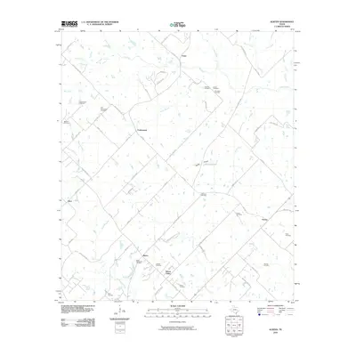
(15)- 1954 Map of Austin, 1964 Print
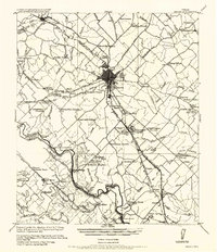
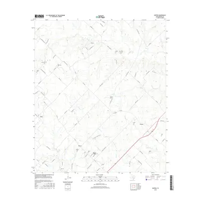
 1954 Austin1964 Print · USGSCentral Texas is captured during a period of steady growth as the capital city and its neighboring farm towns began to modernize. Researchers can trace historic rail corridors like the Southern Pacific RR or locate landmarks such as Bergstrom Air Force Base and Pilot Knob.4 unique versions available
 - 1956 Map of Bryan
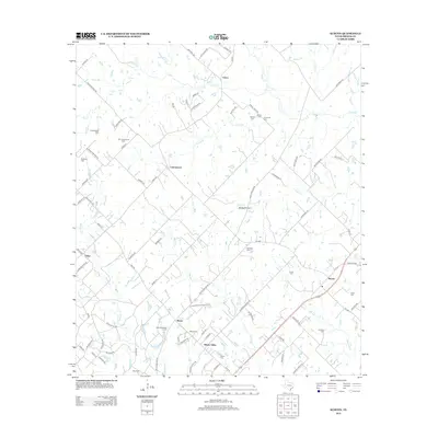
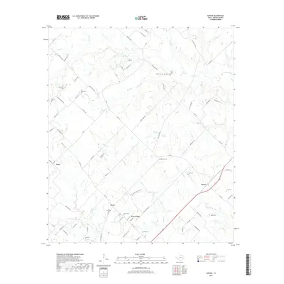
 1956 Bryan1956 Print · USGSBrazos County is shown in the era of early college expansion and steam rail, centered on the growing campus of Texas A&M College. Genealogists and historians can trace defunct post offices and rural school sites like Benchley P.O., Woodville School, and the settlement of Boonville.
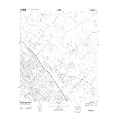
 - 1962 Map of Bryan East, 1964 Print
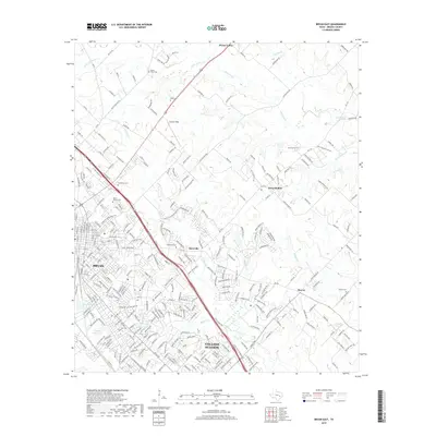
 1962 Bryan East1964 Print · USGSThe Bryan and College Station area is captured during a period of significant mid-century growth. Genealogists and local historians can trace family-named landmarks such as Kizer Cem, explore the rural settlement at Boonville, and locate early schools like Fannin Sch.5 unique versions available
 - 1963 Map of Kurten, 1964 Print
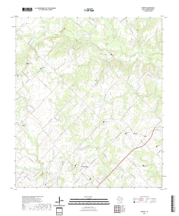
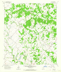 1963 Kurten1964 Print · USGSBrazos County is captured in the early sixties as a region of tight-knit rural communities and family landholdings. Researchers can locate numerous family burial sites and country churches, including Schultze Cem, Cottonwood Ch, and the settlement of Kurten.2 unique versions available
 - 1993 Map of Bryan
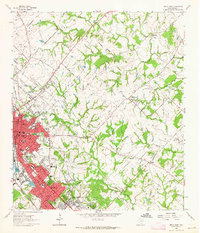
 1993 Bryan1993 Print · USGSBrazos Valley life in the early nineties centered on the rapid growth of College Station and the agricultural heartbeat of the river bottomlands. Genealogists and historians can trace the paths of the Kings Highway, several rail lines, and local landmarks like City Cem and Texas A&M University.
 - 2010 Map of Bryan East, 2010 Print
 2010 Bryan East2010 Print · USGSCovers Wixon Valley, including College Station, Bryan, and other nearby areas
 - 2010 Map of Kurten, 2010 Print
 2010 Kurten2010 Print · USGSCovers Wixon Valley, including Kurten, Cottonwood, and other nearby areas
 - 2013 Map of Bryan East, 2013 Print
 2013 Bryan East2013 Print · USGSCovers Wixon Valley, including College Station, Bryan, and other nearby areas
 - 2013 Map of Kurten, 2013 Print
 2013 Kurten2013 Print · USGSCovers Wixon Valley, including Kurten, Cottonwood, and other nearby areas
 - 2016 Map of Bryan East, 2016 Print
 2016 Bryan East2016 Print · USGSCovers Wixon Valley, including College Station, Bryan, and other nearby areas
 - 2016 Map of Kurten, 2016 Print
 2016 Kurten2016 Print · USGSCovers Wixon Valley, including Kurten, Cottonwood, and other nearby areas
 - 2019 Map of Kurten, 2019 Print
 2019 Kurten2019 Print · USGSCovers Wixon Valley, including Kurten, Cottonwood, and other nearby areas
 - 2019 Map of Bryan East, 2019 Print
 2019 Bryan East2019 Print · USGSCovers Wixon Valley, including College Station, Bryan, and other nearby areas
 - 2022 Map of Kurten, 2022 Print
 2022 Kurten2022 Print · USGSBrazos County settlement patterns are preserved here in the early twenty-first century, showing the rural communities of Kurten and Wixon Valley. Researchers can trace numerous family burial sites, including Old Cottonwood Cem and Jim Harris Cem.
 - 2022 Map of Bryan East, 2022 Print
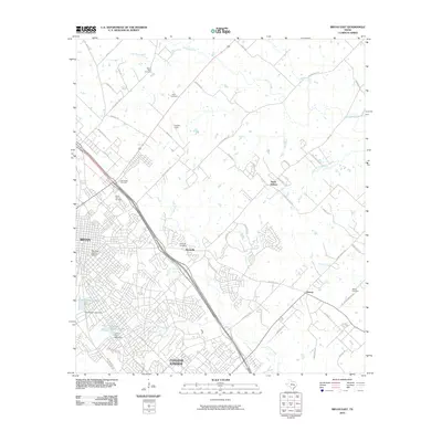
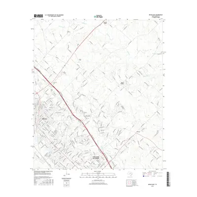
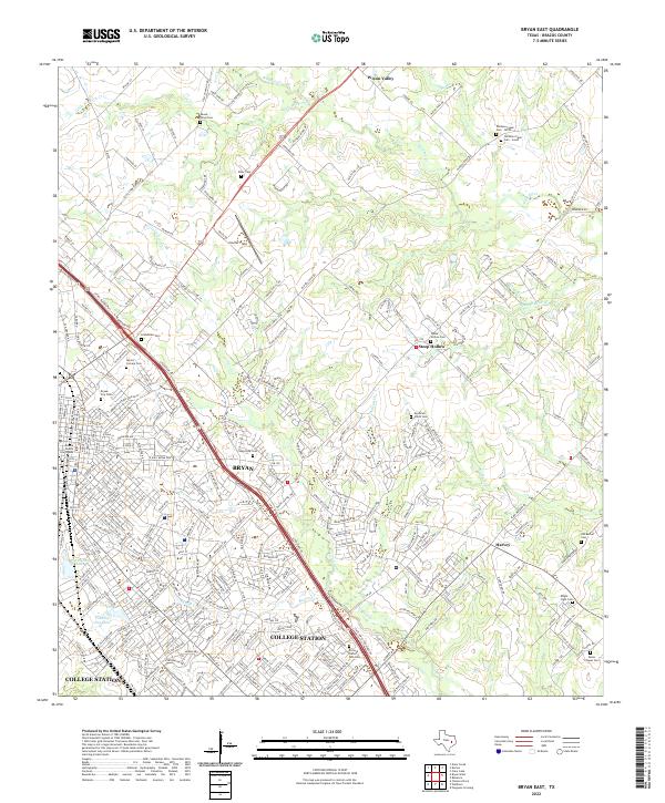 2022 Bryan East2022 Print · USGSBrazos County is shown during a period of significant urban growth as Bryan and College Station expand into the surrounding ranch land. Genealogists can trace family names at the Moravian Czech Cem, Mount Olive Cem, and Boonville Cem.
End of results
Showing maps 1-15 of 15
Top cities near Wixon Valley
Top neighborhoods of Wixon Valley
Frequently asked questions
- What are the different types of historical maps available for Wixon Valley?
- What is the oldest map of Wixon Valley?
- Where can I purchase historical maps of Wixon Valley for my home or office?
- Where can I download high-res historical maps of Wixon Valley?
- Are there historical topographic maps available for Wixon Valley?
- Is there historical aerial imagery available for Wixon Valley?
- Where are historical maps of Wixon Valley sourced from?