Old Maps of Castolon, Texas for Academic Research
Study the evolution of Castolon with 11 high-resolution historic maps. Whether you're teaching, researching, or modeling changes in land use, these maps provide essential visual documentation of urban, environmental, and geographic change.
- Analyze long-term change: Track patterns in development, transportation, and natural features.
- Ideal for environmental or urban studies: Support academic projects with primary historical map data.
- Use in the classroom or lab: Educators and researchers rely on these maps to bring historical context to life.
These maps are a powerful tool for teaching, research, and visualizing how Castolon has changed over the decades.
Castolon, TX maps
(11)- 1903 Map of Terlingua, 1963 Print
 1903 Terlingua1963 Print · USGSThe Big Bend borderlands emerge at the height of the quicksilver boom, showing the isolated ranching and mining camps along the Rio Grande. Trace the roots of early mining at Study Butte and find remote family outposts like Gourleys Ranch and Lajitas.
 - 1904 Map of Terlingua
 1904 Terlingua1904 Print · USGSThe Trans-Pecos frontier is captured here at the height of the early quicksilver mining boom. Genealogists and historians can locate remote family sites like Howard's Ranch and Madril Ranch, or trace early industrial efforts at the Colquitt-Tigner Mine.5 unique versions available
 - 1959 Map of Emory Peak, 1967 Print
 1959 Emory Peak1967 Print · USGSThe Big Bend country of West Texas is documented here just as the national park was becoming a major destination. Researchers can trace remote desert outposts like Lajitas, Castolon, and the Terlingua Post Office along the winding Rio Grande.3 unique versions available
 - 1965 Map of Emory Peak
 1965 Emory Peak1965 Print · USGSThe Big Bend backcountry in the mid-1960s reveals a desert landscape of remote ranches and mercury mining. Trace the historic boundary along the Rio Grande and locate landmarks like the Fresno Mine and Panther Spring.
 - 1971 Map of Castolon, 1974 Print
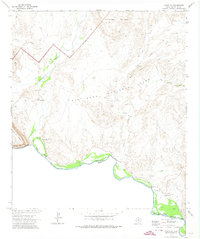 1971 Castolon1974 Print · USGSBig Bend National Park's desert borderlands and river crossings are captured here in the early 1970s. Trace the history of remote settlements and outposts like Castolon, the ruins of Terlingua Abaja, and the Coyote Cem along the Rio Grande.2 unique versions available
 - 1985 Map of Chisos Mountains
 1985 Chisos Mountains1985 Print · USGSThe Chisos Mountains and the deep Big Bend country are captured in the mid-1980s as a landscape of isolated desert settlements and dramatic river canyons. Researchers can trace historic river crossings like San Vicente Crossing or locate mercury mining sites near Terlingua and Study Butte.3 unique versions available
 - 2010 Map of Castolon, 2010 Print
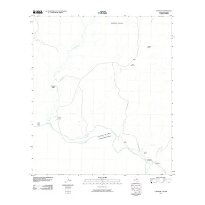 2010 Castolon2010 Print · USGSCovers Castolon, including Lunas, Terlingua Abajo, and other nearby areas
 - 2012 Map of Castolon, 2012 Print
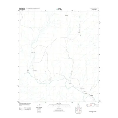 2012 Castolon2012 Print · USGSCovers Castolon, including Lunas, Terlingua Abajo, and other nearby areas
 - 2016 Map of Castolon, 2016 Print
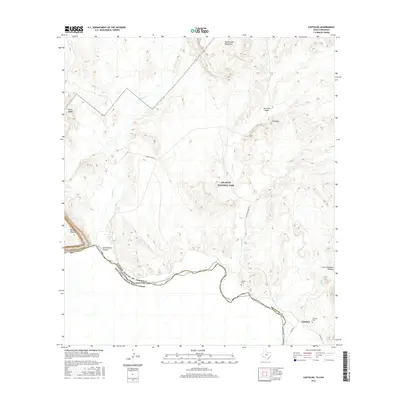 2016 Castolon2016 Print · USGSCovers Castolon, including Lunas, Terlingua Abajo, and other nearby areas
 - 2019 Map of Castolon, 2019 Print
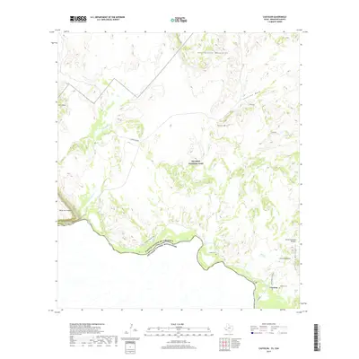 2019 Castolon2019 Print · USGSCovers Castolon, including Lunas, Terlingua Abajo, and other nearby areas
 - 2022 Map of Castolon, 2022 Print
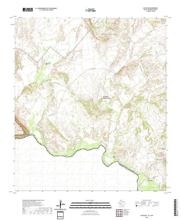 2022 Castolon2022 Print · USGSThe riverside settlement of Castolon is documented here alongside the Rio Grande border in the early 2020s. Researchers can trace remote desert burial sites at Terlingua de Abajo Cem and Coyote Cem or follow the path of Old Maverick Road.
End of results
Showing maps 1-11 of 11
Top cities near Castolon
Frequently asked questions
- What are the different types of historical maps available for Castolon?
- What is the oldest map of Castolon?
- Where can I purchase historical maps of Castolon for my home or office?
- Where can I download high-res historical maps of Castolon?
- Are there historical topographic maps available for Castolon?
- Is there historical aerial imagery available for Castolon?
- Where are historical maps of Castolon sourced from?