Old Maps of Chisos Mountains Basin Junction, Texas for Metal Detecting
Plan your next treasure hunt with 12 historic maps of Chisos Mountains Basin Junction. Find old homesites, ghost towns, trails, and gathering spots that may be lost to time — perfect for identifying promising metal detecting locations.
- Locate forgotten sites: Uncover places like long-lost settlements, abandoned rail lines, or gathering spots.
- Plan better hunts: Use map overlays combined with LiDAR or satellite views to narrow in on historically rich areas.
- Made for detectorists: Thousands of hobbyists use these maps to discover relics, coins, and hidden history.
Use these historic maps to boost your research and find new opportunities beneath the surface of Chisos Mountains Basin Junction.
Chisos Mountains Basin Junction, TX maps
(12)- 1903 Map of Chisos Mountains, 1956 Print
 1903 Chisos Mountains1956 Print · USGSThe Big Bend region of West Texas appears here at the start of the twentieth century, showing a landscape defined by ranching and mining. Trace early frontier outposts like Stroud's Ranch, the industrial remains at Old Smelter, and reliable water at Dugout Wells.
 - 1905 Map of Chisos Mountains, 1940 Print
 1905 Chisos Mountains1940 Print · USGSThe Big Bend frontier of West Texas comes to life here at the dawn of the twentieth century, during a time of border expansion and ranching. Researchers can trace the early trails between family outposts like Stroud's Ranch and landmarks like the Old Smelter or Dugout Wells.2 unique versions available
 - 1959 Map of Emory Peak, 1967 Print
 1959 Emory Peak1967 Print · USGSThe Big Bend country of West Texas is documented here just as the national park was becoming a major destination. Researchers can trace remote desert outposts like Lajitas, Castolon, and the Terlingua Post Office along the winding Rio Grande.3 unique versions available
 - 1965 Map of Emory Peak
 1965 Emory Peak1965 Print · USGSThe Big Bend backcountry in the mid-1960s reveals a desert landscape of remote ranches and mercury mining. Trace the historic boundary along the Rio Grande and locate landmarks like the Fresno Mine and Panther Spring.
 - 1971 Map of The Basin, 1978 Print
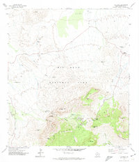 1971 The Basin1978 Print · USGSThe Chisos Mountains heart of Big Bend National Park comes into focus during the early 1970s. Trace the paths to The Window, the seasonal waters of Cattail Falls, and the development around Chisos Mountain Lodge and the Campground.2 unique versions available
 - 1985 Map of Chisos Mountains
 1985 Chisos Mountains1985 Print · USGSThe Chisos Mountains and the deep Big Bend country are captured in the mid-1980s as a landscape of isolated desert settlements and dramatic river canyons. Researchers can trace historic river crossings like San Vicente Crossing or locate mercury mining sites near Terlingua and Study Butte.3 unique versions available
 - 1997 Map of The Basin, 1999 Print
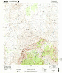 1997 The Basin1999 Print · USGSBig Bend National Park in the late nineties is presented here in high detail, focusing on the heart of the Chisos Mountains. Researchers can locate specific park landmarks like Chisos Mountain Lodge, the Apache Canyon Trail, and the topographic layout of The Window.
 - 2011 Map of The Basin, 2011 Print
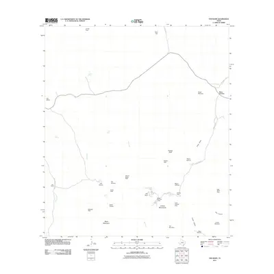 2011 The Basin2011 Print · USGSTexas high desert and mountain terrain are meticulously detailed in this early twenty-first-century survey of Brewster County. Researchers can trace the rugged access to Chisos Mountain Lodge and locate vital desert water sources like Oak Spring and Government Spring.
 - 2012 Map of The Basin, 2012 Print
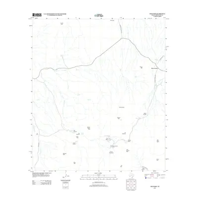 2012 The Basin2012 Print · USGSBig Bend's high mountain heart is detailed in this 2012 survey of the Chisos range and its desert surroundings. Researchers can locate the footprint of the Chisos Mountain Lodge, trace the old roads near Old Ranch, and identify peaks like Lost Mine Peak.
 - 2016 Map of The Basin, 2016 Print
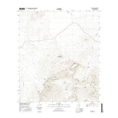 2016 The Basin2016 Print · USGSThe high desert terrain of Brewster County is captured here in the mid-2010s, focused on the central peaks of the Chisos Mountains. Researchers can trace remote water sources like Kibbe Spring and the steep elevation of The Window near The Basin.
 - 2019 Map of The Basin, 2019 Print
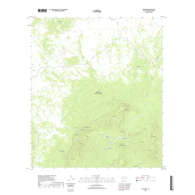 2019 The Basin2019 Print · USGSBig Bend National Park and the high Chisos Mountains are captured here in the early twenty-first century. Researchers and hikers can trace water sources like Croton Spring, navigate through Panther Pass, and locate the legendary Lost Mine.
 - 2022 Map of The Basin, 2022 Print
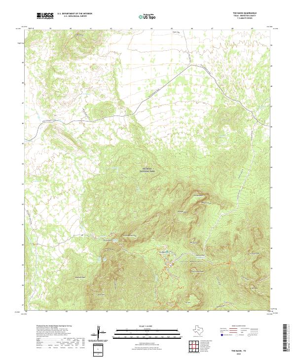 2022 The Basin2022 Print · USGSBig Bend National Park in the early 2020s shows a landscape of high peaks and vital desert water sources. Researchers can trace the network of trails and springs surrounding The Basin, including The Window, Casa Grande Peak, and Gano Springs.
End of results
Showing maps 1-12 of 12
Frequently asked questions
- What are the different types of historical maps available for Chisos Mountains Basin Junction?
- What is the oldest map of Chisos Mountains Basin Junction?
- Where can I purchase historical maps of Chisos Mountains Basin Junction for my home or office?
- Where can I download high-res historical maps of Chisos Mountains Basin Junction?
- Are there historical topographic maps available for Chisos Mountains Basin Junction?
- Is there historical aerial imagery available for Chisos Mountains Basin Junction?
- Where are historical maps of Chisos Mountains Basin Junction sourced from?