Old Maps of Comptons, Texas for Genealogy
Trace your family roots with 11 historic maps of Comptons. These high-res maps reveal old neighborhoods, homesites, landmarks, and streets — helping you uncover where your ancestors lived and how the area evolved over time.
- Explore historic neighborhoods: Identify where your relatives may have lived in the 1800s or 1900s.
- Compare maps over time: Trace the changes in streets, buildings, and landmarks for multi-generational research.
- Perfect for genealogy & ancestry research: Used by family historians and researchers to map out lineage and migration.
These maps are an incredible resource for exploring your personal connection to Comptons's past.
Comptons, TX maps
(11)- 1903 Map of Chisos Mountains, 1956 Print
 1903 Chisos Mountains1956 Print · USGSThe Big Bend region of West Texas appears here at the start of the twentieth century, showing a landscape defined by ranching and mining. Trace early frontier outposts like Stroud's Ranch, the industrial remains at Old Smelter, and reliable water at Dugout Wells.
 - 1905 Map of Chisos Mountains, 1940 Print
 1905 Chisos Mountains1940 Print · USGSThe Big Bend frontier of West Texas comes to life here at the dawn of the twentieth century, during a time of border expansion and ranching. Researchers can trace the early trails between family outposts like Stroud's Ranch and landmarks like the Old Smelter or Dugout Wells.2 unique versions available
 - 1959 Map of Emory Peak, 1967 Print
 1959 Emory Peak1967 Print · USGSThe Big Bend country of West Texas is documented here just as the national park was becoming a major destination. Researchers can trace remote desert outposts like Lajitas, Castolon, and the Terlingua Post Office along the winding Rio Grande.3 unique versions available
 - 1965 Map of Emory Peak
 1965 Emory Peak1965 Print · USGSThe Big Bend backcountry in the mid-1960s reveals a desert landscape of remote ranches and mercury mining. Trace the historic boundary along the Rio Grande and locate landmarks like the Fresno Mine and Panther Spring.
 - 1970 Map of Solis, 1974 Print
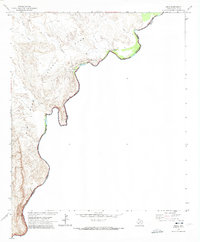 1970 Solis1974 Print · USGSThe river border within Big Bend National Park is captured here during the 1970s, showing the intersection of Texas and Coahuila. Researchers can trace remote ranching history at Solis Landing, Comptons, and the Ruins Casa de Piedra.2 unique versions available
 - 1985 Map of Chisos Mountains
 1985 Chisos Mountains1985 Print · USGSThe Chisos Mountains and the deep Big Bend country are captured in the mid-1980s as a landscape of isolated desert settlements and dramatic river canyons. Researchers can trace historic river crossings like San Vicente Crossing or locate mercury mining sites near Terlingua and Study Butte.3 unique versions available
 - 2010 Map of Solis, 2010 Print
 2010 Solis2010 Print · USGSCovers Comptons, including Rooneys Place, San Vicente, and other nearby areas
 - 2012 Map of Solis, 2012 Print
 2012 Solis2012 Print · USGSCovers Comptons, including Rooneys Place, San Vicente, and other nearby areas
 - 2016 Map of Solis, 2016 Print
 2016 Solis2016 Print · USGSCovers Comptons, including Rooneys Place, San Vicente, and other nearby areas
 - 2019 Map of Solis, 2019 Print
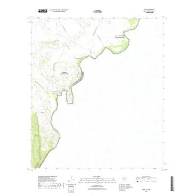 2019 Solis2019 Print · USGSCovers Comptons, including Rooneys Place, San Vicente, and other nearby areas
 - 2022 Map of Solis, 2022 Print
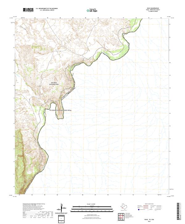 2022 Solis2022 Print · USGSThe international border along the Rio Grande comes into sharp focus in this recent study of Brewster County. Researchers can trace the river's path through Mariscal Canyon and locate backcountry landmarks like Iron Mtn and the Cross Canyon Trl.
End of results
Showing maps 1-11 of 11
Frequently asked questions
- What are the different types of historical maps available for Comptons?
- What is the oldest map of Comptons?
- Where can I purchase historical maps of Comptons for my home or office?
- Where can I download high-res historical maps of Comptons?
- Are there historical topographic maps available for Comptons?
- Is there historical aerial imagery available for Comptons?
- Where are historical maps of Comptons sourced from?