Old Maps of Hovey, Texas for Hiking & Exploration
Hike through history with 11 historic maps of Hovey. Explore old trails, ghost towns, and forgotten backroads — perfect for outdoor adventurers and local explorers.
- Rediscover forgotten places: Map out old mining camps, roads, and footpaths that no longer exist on modern maps.
- Layer with modern tools: Combine with LiDAR or satellite views to plan hikes through historical terrain.
- Made for exploration: Popular among hikers, overlanders, and local history lovers.
Use these maps to find adventure and explore the hidden past of Hovey.
Hovey, TX maps
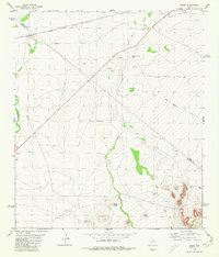
(11)- 1929 Map of Hovey
 1929 Hovey1929 Print · USGSIn the Trans-Pecos during the late twenties, the railroad and early motor trails dictated the rhythm of life across the mesa country. Researchers can trace the path of the Old Spanish Trail, locate rural stops like Chancellor, and identify family landmarks like Hayter and Williams.
 - 1954 Map of Fort Stockton, 1965 Print
 1954 Fort Stockton1965 Print · USGSWest Texas ranching and the early energy industry converge in this mid-century survey of the Trans-Pecos. Genealogists and historians can locate specific family lands like Graef Brothers Ranch and trace the paths of the Old Spanish Trail and the Southern Pacific railroad.3 unique versions available
 - 1958 Map of Fort Stockton
 1958 Fort Stockton1958 Print · USGSThe Trans-Pecos region of West Texas in the late fifties is a landscape of vast mesas and isolated ranching hubs. Genealogists and historians can trace the paths of the Texas and New Orleans RR through Alpine or locate early settlements like Bakersfield and Sanderson.
 - 1973 Map of Fort Stockton, 1974 Print
 1973 Fort Stockton1974 Print · USGSThe Trans-Pecos region of West Texas comes alive in the early seventies, from the desert flats of the Stockton Plateau to the heights of the Davis Mountains. Researchers can trace the legacy of frontier outposts and rail lines through Fort Davis Nat Hist Site, Alpine, and the Southern Pacific RR.
 - 1980 Map of Hovey
 1980 Hovey1980 Print · USGSThe Trans-Pecos ranching country of the early 1980s is defined here by the transit corridor of the Atchison Topeka and Santa Fe. Local historians can locate remote outposts like Burnt House Creek Ranch, the high ground of Robbers Roost, and the tracks at Hovey.
 - 1985 Map of Fort Davis, 1994 Print
 1985 Fort Davis1994 Print · USGSWest Texas in the mid-eighties shows a landscape of high desert peaks and vital spring-fed irrigation. Trace the development of Toyahvale and Balmorhea, or locate specific landmarks like the Fort Davis National Historic Site and Robbers Roost.2 unique versions available
 - 2010 Map of Hovey, 2010 Print
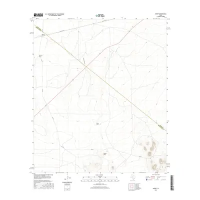
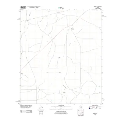 2010 Hovey2010 Print · USGSCovers Hovey, including Pecos County, Brewster County, and other nearby areas
 - 2012 Map of Hovey, 2012 Print
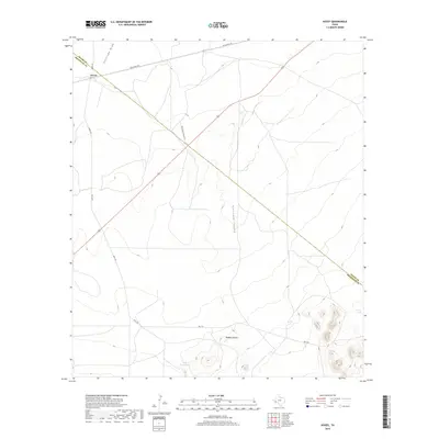
 2012 Hovey2012 Print · USGSCovers Hovey, including Pecos County, Brewster County, and other nearby areas
 - 2016 Map of Hovey, 2016 Print
 2016 Hovey2016 Print · USGSCovers Hovey, including Pecos County, Brewster County, and other nearby areas
 - 2019 Map of Hovey, 2019 Print
 2019 Hovey2019 Print · USGSCovers Hovey, including Pecos County, Brewster County, and other nearby areas
 - 2022 Map of Hovey, 2022 Print
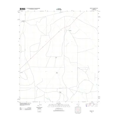
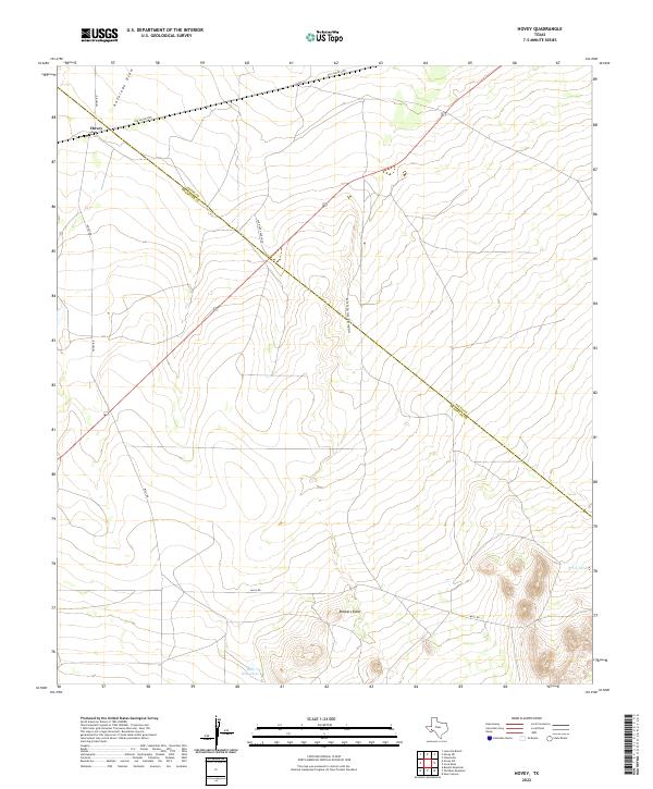 2022 Hovey2022 Print · USGSThe West Texas ranchlands of the Pecos and Brewster county line are captured here in the modern era. Genealogists and historians can trace old cattle-country routes like Old Hovey Ranch Co and find landmarks like Robbers Roost and Bull Waterhole.
End of results
Showing maps 1-11 of 11
Frequently asked questions
- What are the different types of historical maps available for Hovey?
- What is the oldest map of Hovey?
- Where can I purchase historical maps of Hovey for my home or office?
- Where can I download high-res historical maps of Hovey?
- Are there historical topographic maps available for Hovey?
- Is there historical aerial imagery available for Hovey?
- Where are historical maps of Hovey sourced from?