Old Maps of Pantera, Texas for Academic Research
Study the evolution of Pantera with 5 high-resolution historic maps. Whether you're teaching, researching, or modeling changes in land use, these maps provide essential visual documentation of urban, environmental, and geographic change.
- Analyze long-term change: Track patterns in development, transportation, and natural features.
- Ideal for environmental or urban studies: Support academic projects with primary historical map data.
- Use in the classroom or lab: Educators and researchers rely on these maps to bring historical context to life.
These maps are a powerful tool for teaching, research, and visualizing how Pantera has changed over the decades.
Pantera, TX maps
(5)- 2010 Map of Mariscal Mountain OE S, 2010 Print
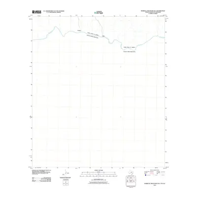 2010 Mariscal Mountain OE S2010 Print · USGSCovers Pantera, including Talley, Ocampo, and other nearby areas
 - 2012 Map of Mariscal Mountain OE S, 2012 Print
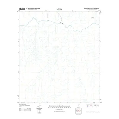 2012 Mariscal Mountain OE S2012 Print · USGSCovers Pantera, including Talley, Ocampo, and other nearby areas
 - 2016 Map of Mariscal Mountain OE S, 2016 Print
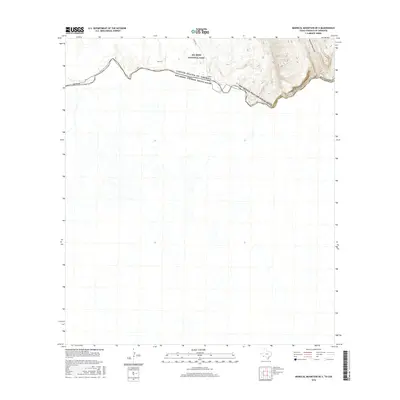 2016 Mariscal Mountain OE S2016 Print · USGSCovers Pantera, including Talley, Ocampo, and other nearby areas
 - 2019 Map of Mariscal Mountain OE S, 2019 Print
 2019 Mariscal Mountain OE S2019 Print · USGSCovers Pantera, including Talley, Ocampo, and other nearby areas
 - 2022 Map of Mariscal Mountain OE S, 2022 Print
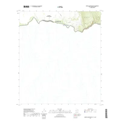
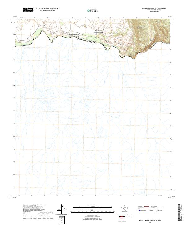 2022 Mariscal Mountain OE S2022 Print · USGSThe international border along the southern reaches of Brewster County is captured here in the early twenty-first century. Researchers can trace the winding Rio Grande through Mariscal Canyon and follow primitive paths like the Mariscal Rim Trl.
End of results
Showing maps 1-5 of 5
Frequently asked questions
- What are the different types of historical maps available for Pantera?
- What is the oldest map of Pantera?
- Where can I purchase historical maps of Pantera for my home or office?
- Where can I download high-res historical maps of Pantera?
- Are there historical topographic maps available for Pantera?
- Is there historical aerial imagery available for Pantera?
- Where are historical maps of Pantera sourced from?