Old Maps of Stuart Place, Texas for Hiking & Exploration
Hike through history with 10 historic maps of Stuart Place. Explore old trails, ghost towns, and forgotten backroads — perfect for outdoor adventurers and local explorers.
- Rediscover forgotten places: Map out old mining camps, roads, and footpaths that no longer exist on modern maps.
- Layer with modern tools: Combine with LiDAR or satellite views to plan hikes through historical terrain.
- Made for exploration: Popular among hikers, overlanders, and local history lovers.
Use these maps to find adventure and explore the hidden past of Stuart Place.
Stuart Place, TX maps
(10)- 1918 Map of Bullis Gap
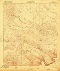 1918 Bullis Gap1918 Print · USGSBrewster County's rugged borderlands come into focus during the late First World War era, showing a landscape defined by ranching and transit. Genealogists and historians can trace the Bullis Trail to isolated sites like Espanol House, Kellogg, and Valdez Goat Camp.4 unique versions available
 - 1959 Map of Emory Peak, 1967 Print
 1959 Emory Peak1967 Print · USGSThe Big Bend country of West Texas is documented here just as the national park was becoming a major destination. Researchers can trace remote desert outposts like Lajitas, Castolon, and the Terlingua Post Office along the winding Rio Grande.3 unique versions available
 - 1965 Map of Emory Peak
 1965 Emory Peak1965 Print · USGSThe Big Bend backcountry in the mid-1960s reveals a desert landscape of remote ranches and mercury mining. Trace the historic boundary along the Rio Grande and locate landmarks like the Fresno Mine and Panther Spring.
 - 1983 Map of Bullis Gap NE, 1984 Print
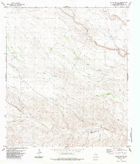 1983 Bullis Gap NE1984 Print · USGSRanching life in the Trans-Pecos during the early eighties centered on remote outposts and seasonal watercourses. Genealogists and historians can trace the geography of the San Francisco Creek Ranch and isolated landmarks like the Landing Strip and Beef Canyon.
 - 1985 Map of Dove Mountain
 1985 Dove Mountain1985 Print · USGSThe West Texas borderlands along the Rio Grande are captured here in the mid-1980s, showcasing a landscape of canyons and isolated peaks. Researchers can trace remote settlements like Loma Vista and Karen or navigate the terrain of the Jackson Range.2 unique versions available
 - 2010 Map of Bullis Gap NE, 2010 Print
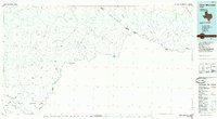
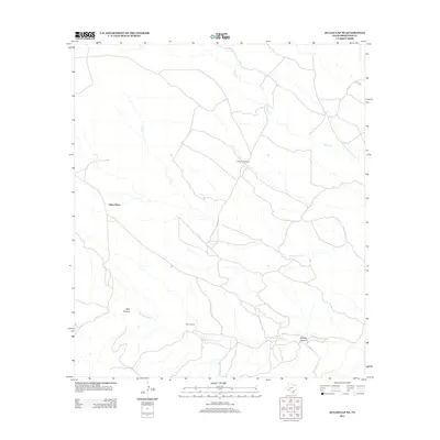
 2010 Bullis Gap NE2010 Print · USGSCovers Stuart Place, including Brewster County, United States, and other nearby areas
 - 2013 Map of Bullis Gap NE, 2013 Print
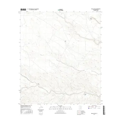
 2013 Bullis Gap NE2013 Print · USGSCovers Stuart Place, including Brewster County, United States, and other nearby areas
 - 2016 Map of Bullis Gap NE, 2016 Print
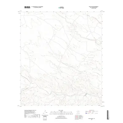
 2016 Bullis Gap NE2016 Print · USGSCovers Stuart Place, including Brewster County, United States, and other nearby areas
 - 2019 Map of Bullis Gap NE, 2019 Print
 2019 Bullis Gap NE2019 Print · USGSCovers Stuart Place, including Brewster County, United States, and other nearby areas
 - 2022 Map of Bullis Gap NE, 2022 Print
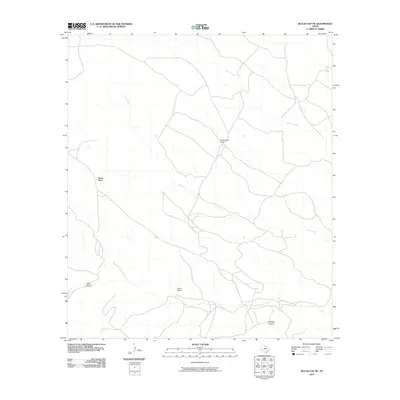
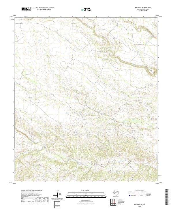 2022 Bullis Gap NE2022 Print · USGSBrewster County's arid landscape comes into sharp focus during this early twenty-first-century survey of West Texas. Researchers can trace the complex drainage networks of San Francisco Creek and the deep relief of Brindle Canyon and Beef Canyon.
End of results
Showing maps 1-10 of 10
Top cities near Stuart Place
Frequently asked questions
- What are the different types of historical maps available for Stuart Place?
- What is the oldest map of Stuart Place?
- Where can I purchase historical maps of Stuart Place for my home or office?
- Where can I download high-res historical maps of Stuart Place?
- Are there historical topographic maps available for Stuart Place?
- Is there historical aerial imagery available for Stuart Place?
- Where are historical maps of Stuart Place sourced from?