Old Maps of Silverton, Texas for Academic Research
Study the evolution of Silverton with 9 high-resolution historic maps. Whether you're teaching, researching, or modeling changes in land use, these maps provide essential visual documentation of urban, environmental, and geographic change.
- Analyze long-term change: Track patterns in development, transportation, and natural features.
- Ideal for environmental or urban studies: Support academic projects with primary historical map data.
- Use in the classroom or lab: Educators and researchers rely on these maps to bring historical context to life.
These maps are a powerful tool for teaching, research, and visualizing how Silverton has changed over the decades.
Silverton, TX maps
(9)- 1954 Map of Plainview, 1966 Print
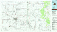
 1954 Plainview1966 Print · USGSThe Texas Panhandle and the rugged Caprock Escarpment appear in detail as the region's agricultural and rail networks reached their mid-century peak. Trace family roots and old land patterns through the canyons and plains near Plainview, Palo Duro State Park, and Childress.3 unique versions available
 - 1958 Map of Plainview
 1958 Plainview1958 Print · USGSThe High Plains and Caprock Escarpment meet in the late fifties, showcasing the ranching and rail networks of the Texas Panhandle. Trace family roots and vanished stops along the Panhandle and Santa Fe railroad through Plainview, Silverton, and Matador.
 - 1965 Map of Silverton, 1967 Print
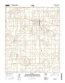
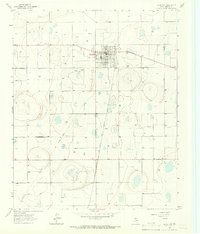 1965 Silverton1967 Print · USGSThe Texas Panhandle town of Silverton is shown in the mid-1960s as a developing hub of the High Plains. Researchers can trace the path of the Fort Worth and Denver line, locate the local Cem, and find the vintage Drive-in Theater.
 - 1985 Map of Plainview
 1985 Plainview1985 Print · USGSThe Texas Panhandle's agricultural heartland and the dramatic escarpment are captured here in the mid-eighties. Genealogists and local historians can trace the rail-side growth of Lockney, the layout of Plainview, and the rugged breaks of Caprock Canyon State Park.2 unique versions available
 - 2010 Map of Silverton, 2010 Print
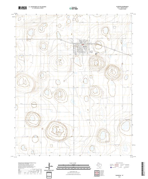
 2010 Silverton2010 Print · USGSCovers Silverton, including Briscoe County, United States, and other nearby areas
 - 2012 Map of Silverton, 2012 Print
 2012 Silverton2012 Print · USGSCovers Silverton, including Briscoe County, United States, and other nearby areas
 - 2016 Map of Silverton, 2016 Print
 2016 Silverton2016 Print · USGSCovers Silverton, including Briscoe County, United States, and other nearby areas
 - 2019 Map of Silverton, 2019 Print
 2019 Silverton2019 Print · USGSCovers Silverton, including Briscoe County, United States, and other nearby areas
 - 2022 Map of Silverton, 2022 Print
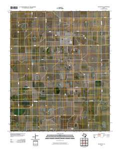
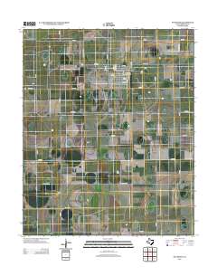
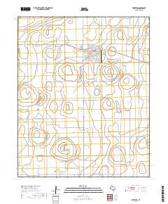
 2022 Silverton2022 Print · USGSThe High Plains town of Silverton is centered on its courthouse square in the early twenty-first century. Genealogists and local historians can locate the Silverton Cem and trace the rural road network including Ranch Rd 145 and Co Rd 9.
End of results
Showing maps 1-9 of 9
Frequently asked questions
- What are the different types of historical maps available for Silverton?
- What is the oldest map of Silverton?
- Where can I purchase historical maps of Silverton for my home or office?
- Where can I download high-res historical maps of Silverton?
- Are there historical topographic maps available for Silverton?
- Is there historical aerial imagery available for Silverton?
- Where are historical maps of Silverton sourced from?