Old Maps of Caldwell County, Texas
Explore 120 old maps of Caldwell County, spanning from 1896 to today. These high-resolution historic maps reveal how streets, neighborhoods, landmarks, and natural features evolved over time — perfect for genealogy, metal detecting, research, and local history exploration.
What you can do with these maps:
- See how Caldwell County changed over time: Compare historical maps to modern-day views to trace roads, homesites, rail lines & more.
- View detailed metadata: Each map includes creators, publishers, year, scale, and archive source.
- Overlay maps with satellite & LiDAR: Visualize the past alongside modern tools to explore terrain & human change.
- Trusted historical sources: Maps sourced from the USGS, Library of Congress, and other archives.
- Access maps your way: View online, download high-res files, or order prints for personal or research use.
Start exploring old maps of Caldwell County to uncover forgotten places, hidden landmarks, and the deep history beneath your feet.
Caldwell County, TX maps
(120)- 1896 Map of Austin
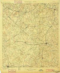
 1896 Austin1896 Print · USGSAustin and its surrounding counties are shown in the mid-1890s, capturing the transition from frontier river crossings to a rail-centered regional hub. Researchers can trace historic river access points like Cameron Ferry alongside vanished landmarks such as Johnson's Institute and Moore & Berry's Store.
 - 1897 Map of Austin
 1897 Austin1897 Print · USGSTexas in the late 1890s reveals a capital city defined by its river and an expanding railroad network. Genealogists and historians can trace family-named landmarks and early centers of learning like Saint Edward's College, Johnson's Institute, and Anderson Mill.
 - 1901 Map of Flatonia
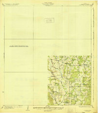
 1901 Flatonia1901 Print · USGSCentral Texas at the turn of the century shows a landscape defined by the railroad and distinct ethnic communities. Trace family roots in the Bohemian Settlement or Negro Settlement, and locate early sites like Old Redrock and Old Flatonia.2 unique versions available
 - 1910 Map of Austin
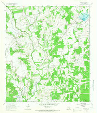
 1910 Austin1910 Print · USGSAustin and the surrounding Travis County hill country are captured here at the start of the twentieth century. Genealogists and researchers can locate pioneer landmarks like Anderson Mill, Mc.Kinney Falls, and numerous river crossings including Lohmann Ford.3 unique versions available
 - 1911 Map of San Marcos
 1911 San Marcos1911 Print · USGSCentral Texas at the peak of the railroad era shows a landscape of small farming communities and country schools. Genealogists can trace family footprints across Comanche Flat or locate long-gone sites like Highpoint School and Bethany Church.2 unique versions available
 - 1919 Map of San Marcos
 1919 San Marcos1919 Print · USGSTexas at the close of the Great War was a landscape of river-fed farms and emerging rail corridors between San Marcos and Lockhart. Genealogists can trace family footprints through numerous rural landmarks like Clark Chapel, High Prairie School, and Larremore.
 - 1925 Map of San Marcos 1-d
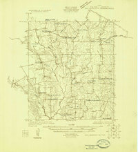 1925 San Marcos 1-d1925 Print · USGSCaldwell County's rural farming communities are captured here in the mid-twenties, showcasing a landscape defined by small schools and country churches. Genealogists can trace family footprints near Lovely Plant School, Mc Mahan, and Clear Fork Church.
 - 1925 Map of San Marcos 4-a
 1925 San Marcos 4-a1925 Print · USGSCaldwell and Gonzales counties are captured during the mid-twenties, showcasing a landscape shaped by rural school districts and diverging rail lines. Genealogists can locate family landmarks like Soda Spring, Ivy Siding, and the McNeil No 2 School.
 - 1929 Map of Luling
 1929 Luling1929 Print · USGSThe Guadalupe and San Marcos river valleys of Central Texas are captured here in the late twenties during a peak era of rail-and-river life. Genealogists can locate family landmarks like Sand Hill Sch, St James Tabernacle, and the old settlement of Belmont.2 unique versions available
 - 1930 Map of Lockhart
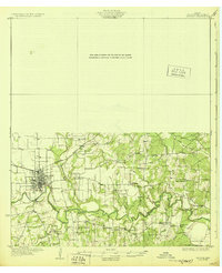
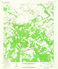
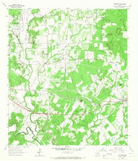
 1930 Lockhart1930 Print · USGSCaldwell County is captured here in the mid-twenties, showing a landscape defined by small farming communities and a high density of rural schoolhouses. Researchers can trace family-named landmarks like McMahan and Seawillow or locate community centers such as Tilmon Sch and Clark Chapel.2 unique versions available
 - 1930 Map of Seguin
 1930 Seguin1930 Print · USGSGuadalupe County at the height of the mid-twenties reflects a thriving rural economy centered on the Southern Pacific rail line. Researchers can locate numerous local landmarks including Walter Nixon Sch, the Faust Gin, and Mill Creek Salt.2 unique versions available
 - 1953 Map of Seguin, 1965 Print
 1953 Seguin1965 Print · USGSSouth Texas in the early fifties shows a thriving river-and-rail economy across the Guadalupe and Colorado basins. Genealogists and historians can trace rail routes like the Southern Pacific through Seguin, locate oil wells, or find the Gary AAF near San Marcos.4 unique versions available
 - 1954 Map of Austin, 1964 Print
 1954 Austin1964 Print · USGSCentral Texas is captured during a period of steady growth as the capital city and its neighboring farm towns began to modernize. Researchers can trace historic rail corridors like the Southern Pacific RR or locate landmarks such as Bergstrom Air Force Base and Pilot Knob.4 unique versions available
 - 1955 Map of Montopolis, 1956 Print
 1955 Montopolis1956 Print · USGSThe area southeast of Austin in the mid-fifties reveals a transition from river-bottom farming to active resource extraction. Researchers can locate family landmarks such as Assumption Cemetery, the Elroy Oil Field, and rural centers like Moores Crossing.2 unique versions available
 - 1958 Map of Seguin
 1958 Seguin1958 Print · USGSSouth Texas in the late fifties was a network of river-valley settlements and active oilfields tied together by major rail lines. Genealogists and historians can trace family-named sites across Rabb Prairie, locate the Behring Store, or follow the Southern Pacific through Schulenburg.
 - 1963 Map of Lockhart North, 1966 Print
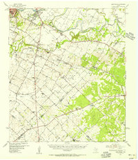
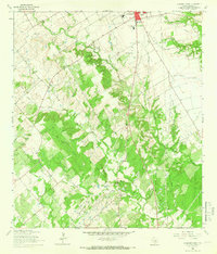
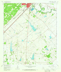
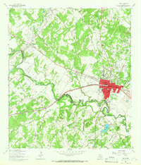
 1963 Lockhart North1966 Print · USGSCaldwell County's landscape in the early sixties showcases a growing Lockhart integrated with a sophisticated network of flood control reservoirs and rail lines. Family historians can trace rural roots through Ohlendorf Cem, Polonia Cem, and the Carver High Sch.3 unique versions available
 - 1963 Map of McMahan, 1966 Print
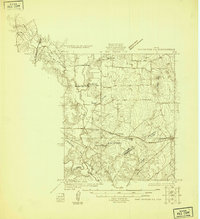
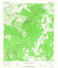
 1963 McMahan1966 Print · USGSCaldwell County’s rural landscape is captured here in the 1960s, showing a region shaped by petroleum production and small farming communities. Researchers can trace family roots at Clark Chapel Cem or Blackwell Cem and locate vanished sites in Seawillow and Brownsboro.2 unique versions available
 - 1964 Map of Kingsbury, 1965 Print
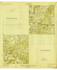
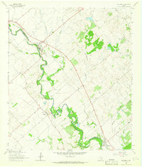
 1964 Kingsbury1965 Print · USGSGuadalupe and Caldwell Counties are captured here in the mid-1960s, showing the agricultural and transit landscape of the San Marcos River valley. Genealogists and local historians can trace the Southern Pacific line through Kingsbury and locate the Appling Cem or Sweet Canaan Ch.3 unique versions available
 - 1964 Map of Martindale, 1966 Print
 1964 Martindale1966 Print · USGSThe river-bottom lands of Caldwell and Guadalupe counties come alive in the mid-1960s as the San Marcos River winds past rural farmsteads. Researchers can trace family history through a dense network of local burial sites including Martindale Cem, Staples Cem, and Kennedy Cem.3 unique versions available
 - 1964 Map of Lockhart South, 1966 Print
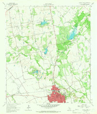
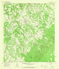
 1964 Lockhart South1966 Print · USGSCaldwell County's landscape in the mid-sixties reveals the southern growth of Lockhart and the quiet life of the surrounding ranchland. Local researchers can trace family roots at Popps Cem or Harrison Cem and locate the Old Railroad Grade near Joliet.3 unique versions available
 - 1964 Map of Harwood, 1966 Print
 1964 Harwood1966 Print · USGSThe Harwood area in the mid-sixties reveals a landscape defined by the oil industry and the Southern Pacific rail line. Researchers can trace family history at the Plum Creek Cem and Lone Oak Cem or locate the historic Salt Flat Oil Field.3 unique versions available
 - 1964 Map of San Marcos South, 1966 Print
 1964 San Marcos South1966 Print · USGSThe rural hills south of San Marcos were defined by a junction of major railroads and creek-fed farms in the mid-1960s. Researchers can trace family history through sites like Pitts Cemetery or locate old school sites like Bowie School near Centerpoint.3 unique versions available
 - 1964 Map of Delhi, 1966 Print
 1964 Delhi1966 Print · USGSCaldwell County's rural landscape at the mid-1960s shows a quiet crossroads centered on the Delhi settlement. Genealogists and historians can locate the Delhi Church and Delhi Cemetery while tracing the winding paths of Sandy Fork and Tenney Creek.2 unique versions available
 - 1964 Map of Red Rock, 1966 Print
 1964 Red Rock1966 Print · USGSThe Bastrop and Caldwell county line comes alive in the mid-1960s, showing a landscape of rural hamlets and family cemeteries. Trace the Missouri Kansas Texas rail line through Red Rock or locate ancestral sites at Meuth Cem and Rockne.2 unique versions available
 - 1964 Map of Luling, 1966 Print
 1964 Luling1966 Print · USGSLuling and the surrounding oil fields are captured here in the mid-1960s as the regional energy and rail economy thrived. Genealogists can locate family landmarks such as Highsmith Cemeteries, Prairie Lea Cem, and the Rosenwald Sch.3 unique versions available
Showing maps 1-25 of 120
Top cities of Caldwell County
Frequently asked questions
- What are the different types of historical maps available for Caldwell County?
- What is the oldest map of Caldwell County?
- Where can I purchase historical maps of Caldwell County for my home or office?
- Where can I download high-res historical maps of Caldwell County?
- Are there historical topographic maps available for Caldwell County?
- Is there historical aerial imagery available for Caldwell County?
- Where are historical maps of Caldwell County sourced from?