2010s Maps of Caldwell County, Texas
Explore 68 historic maps of Caldwell County from the 2010s. These maps offer a rare glimpse into what life looked like during the 2010s — showing old roads, neighborhoods, homes, and landmarks that have changed or disappeared over time.
Whether you're researching your family's past, planning a metal detecting trip, or studying how Caldwell County's landscape evolved across the 2010s, these high-resolution maps are a powerful tool for exploring the history of this region.
- Focus on a specific era: All maps on this page are from the 2010s, giving you a focused view of this time period.
- See what’s changed: Compare century-old streets, trails, and buildings to today's modern landscape using overlays and satellite layers.
- Research with precision: Use these maps for genealogy, historical research, land use analysis, or educational projects.
- View, download, or print: Maps are fully viewable online in high resolution, and can be downloaded or printed for your own records.
Start exploring Caldwell County's history through authentic maps from the 2010s. This is your window into the past.
Caldwell County, TX maps
(68)- 2010 Map of Harwood, 2010 Print
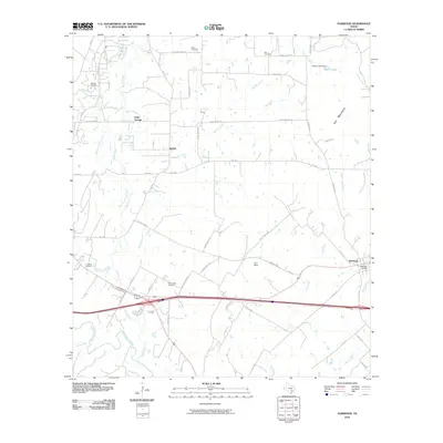 2010 Harwood2010 Print · USGSCaldwell County, Texas, is mapped here in the early twenty-first century as a landscape of rural communities and energy production. Local historians can trace the footprints of old settlements like Soda Springs and McNeil, alongside the Salt Flat Oil Field and several family burial grounds.
 - 2010 Map of Kingsbury, 2010 Print
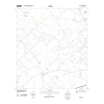 2010 Kingsbury2010 Print · USGSThe rural landscapes between Seguin and Luling appear here in the early twenty-first century, showing a network of ranch roads and creeks. Researchers can locate family burial sites like Appling Cemetery and trace the drainage of Gander Slough and Highsmith Creek.
 - 2010 Map of San Marcos North, 2010 Print
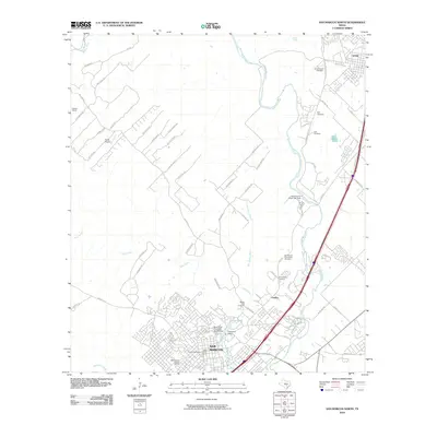 2010 San Marcos North2010 Print · USGSSan Marcos and Kyle appear at a moment of significant growth in the early twenty-first century, spanning from the university campus to the Blanco River. Researchers can trace historic preservation sites like the Belvin Street Historic District and local landmarks such as the Belger-Cahill Lime Kiln.
 - 2010 Map of Martindale, 2010 Print
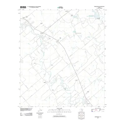 2010 Martindale2010 Print · USGSThe San Marcos River valley in the early twenty-first century reveals a landscape of enduring rural settlements and small family-named cemeteries. Trace local lineage and river geography through Staples Cemetery, Adams Bluff, and Fentress Airpark.
 - 2010 Map of Luling, 2010 Print
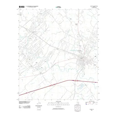 2010 Luling2010 Print · USGSLuling and the surrounding oil fields are shown in detail during the early twenty-first century. Researchers can locate numerous family burial sites like Appling Cemetery and Marines Cemetery or trace the extent of the Luling Oil Field along the San Marcos River.
 - 2010 Map of Dale, 2010 Print
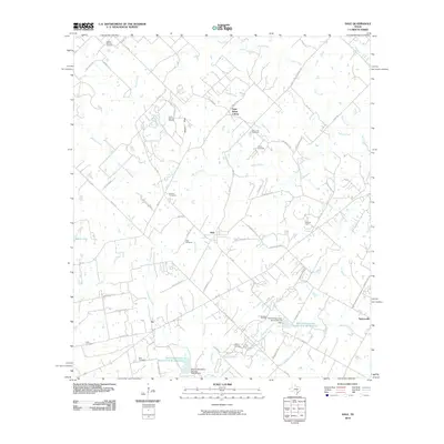 2010 Dale2010 Print · USGSCaldwell County's petroleum and pioneer history is on full display in this 2010 map of the Dale and Saint Johns Colony area. Genealogists and local historians can trace numerous family landmarks, including the Kelly Cemetery, Brite Cemetery, and the extensive Lytton Springs Oil Field.
 - 2010 Map of Sandy Fork, 2010 Print
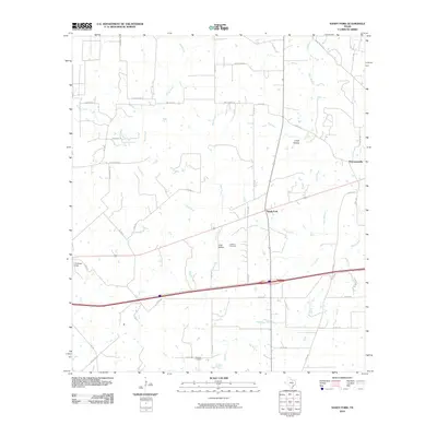 2010 Sandy Fork2010 Print · USGSEastern Gonzales County during the early twenty-first century reveals a landscape of enduring rural settlements and historic family landholdings. Genealogists and local historians can trace legacy sites like Fullilove Cemetery, Haschke Cemetery, and the community at Thompsonville.
 - 2010 Map of Jeddo, 2010 Print
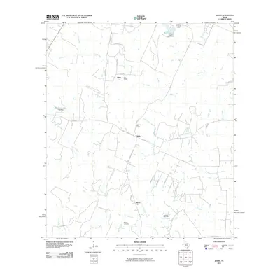 2010 Jeddo2010 Print · USGSTexas ranching country in the early twenty-first century is defined by its small settlements and creek-fed valleys. Genealogists and local historians can trace family ties through Saint Phillips Cemetery, Jeddo Cemetery, and the quiet crossroads at Salem.
 - 2010 Map of Delhi, 2010 Print
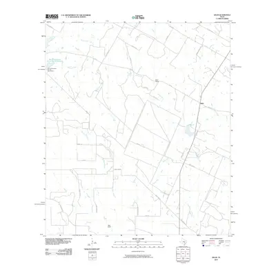 2010 Delhi2010 Print · USGSCaldwell County ranch lands are shown here in the early 21st century, revealing a landscape of conservation reservoirs and winding ranch roads. Local researchers can trace family land via K & L Ranch Rd and Jeff Davis Ranch Rd or locate natural landmarks like Devil Hollow.
 - 2010 Map of Lockhart North, 2010 Print
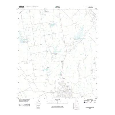 2010 Lockhart North2010 Print · USGSThe Caldwell County seat and its outlying ranch lands are captured here just after the first decade of the millennium. Researchers can trace ancestral sites at Ohlendorf Cemetery and Hooks Cemetery or explore the water management history of Plum Creek.
 - 2010 Map of Lockhart South, 2010 Print
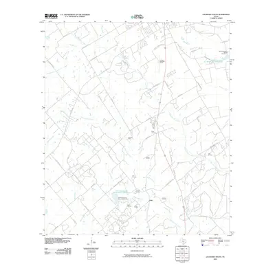 2010 Lockhart South2010 Print · USGSCaldwell County's rural outskirts are captured here during the first decade of the new millennium, showing a landscape defined by ranching and oil. Researchers can locate numerous family burial grounds including Popps and Teas, alongside the industrial activity of the Luling Oil Field.
 - 2010 Map of McMahan, 2010 Print
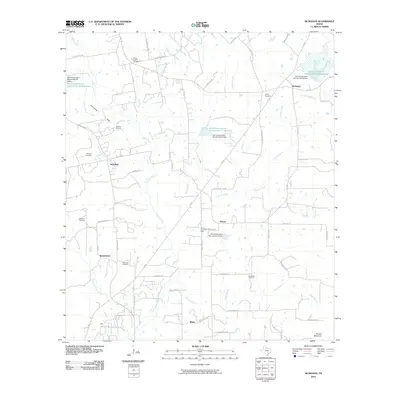 2010 McMahan2010 Print · USGSCaldwell County in the early twenty-first century shows a landscape where oil production and conservation efforts meet traditional rural settlements. Genealogists and historians can trace family locations through several burial sites like Hardshell Cemetery and Jeffrey Cemetery near McMahan.
 - 2010 Map of San Marcos South, 2010 Print
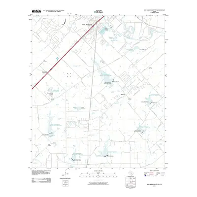 2010 San Marcos South2010 Print · USGSSouth of the San Marcos city center in 2010, the landscape is a mix of expanding retail corridors and rural water management. Researchers can locate family landmarks like Pitts Cemetery and Bading Cemetery or trace the drainage of Cottonwood Creek through numerous conservation reservoirs.
 - 2010 Map of Uhland, 2010 Print
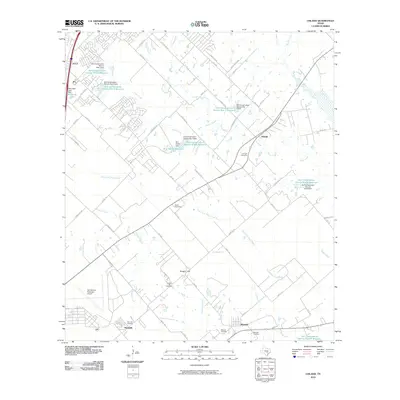 2010 Uhland2010 Print · USGSKyle and Uhland sit at the heart of this Central Texas landscape during a period of steady suburban transition. Researchers can trace rural family heritage at Live Oak Cemetery, Doyle Cemetery, and the historic settlements of Maxwell and Reedville.
 - 2010 Map of Lytton Springs, 2010 Print
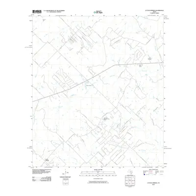 2010 Lytton Springs2010 Print · USGSBastrop County’s rural landscape at the start of the decade shows a unique mix of residential expansion and long-standing industry. You can locate family history at Lower Cedar Creek Cemetery or trace energy development at the Elroy Oil Field.
 - 2010 Map of Creedmoor, 2010 Print
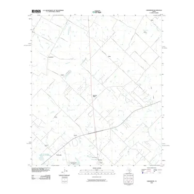 2010 Creedmoor2010 Print · USGSTexas ranching country and growing communities south of Austin are captured here just after the turn of the millennium. Researchers can locate family landmarks like the Vasquez Cemetery and Carl Cemetery or trace the drainage of Maha Creek.
 - 2010 Map of Red Rock, 2010 Print
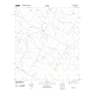 2010 Red Rock2010 Print · USGSBastrop County’s rural character is well-preserved in this 2010 survey, showcasing a landscape of oil fields and family settlements. Researchers can locate numerous historic burial grounds like Hendrix Cemetery and trace the petroleum infrastructure at the Bee Creek Oil Field.
 - 2012 Map of Lytton Springs, 2012 Print
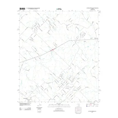 2012 Lytton Springs2012 Print · USGSBastrop County settlement and industry meet in this 2012 study of the corridor between Lytton Springs and Cedar Creek. Genealogists can locate family sites near Upper Cedar Creek Cem while others trace the extent of the Elroy Oil Field.
 - 2013 Map of Creedmoor, 2013 Print
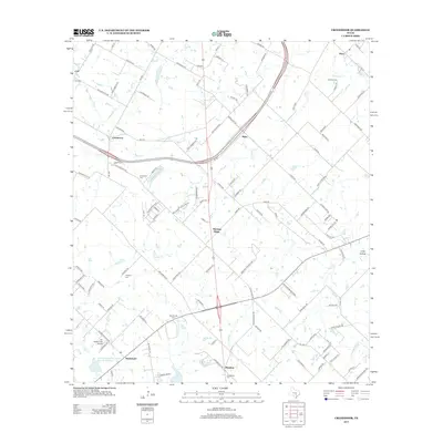 2013 Creedmoor2013 Print · USGSThe South Austin prairie and the communities of Creedmoor and Mustang Ridge appear here in the early twenty-first century. Genealogists can trace numerous family and local burial sites, from Nelson Cem to the Guadalupe Cem near Mendoza.
 - 2013 Map of Delhi, 2013 Print
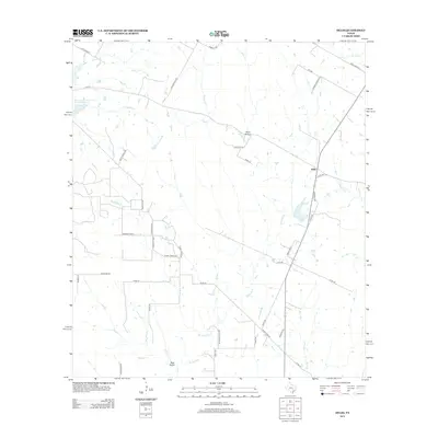 2013 Delhi2013 Print · USGSThe rural settlement of Delhi is captured here in the early twenty-first century, showing a landscape of family ranches and winding creek beds. Researchers can trace local land divisions and drainage features like Bear Gulch, Devil Hollow, and the Big Sandy Br.
 - 2013 Map of Dale, 2013 Print
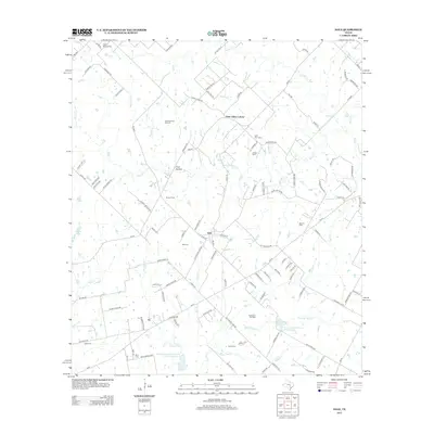 2013 Dale2013 Print · USGSCaldwell County's rural oil-producing landscape is captured here in the early twenty-first century, centered on the historic Saint Johns Colony. Researchers can locate numerous family and community landmarks, from the Dale Oil Field to several rural burial sites like Lytton Springs Cem and Liberty Cem.
 - 2013 Map of McMahan, 2013 Print
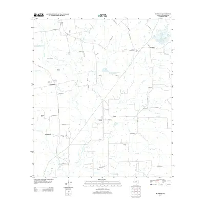 2013 McMahan2013 Print · USGSCaldwell County's rural landscape is captured here in the early twenty-first century, showing a transition between agricultural land and active petroleum production. Researchers can locate numerous historic burial sites like Hardshell Cem and explore the communities of McMahan and Tilmon.
 - 2013 Map of Red Rock, 2013 Print
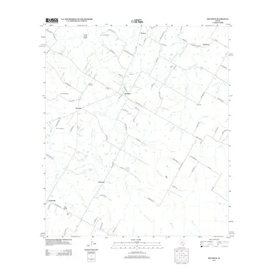 2013 Red Rock2013 Print · USGSBastrop County’s rural crossroads are captured here during a time of continued oil production and small-town persistence. Genealogists and historians can locate family burial sites like Old Red Rock Cem or trace the early paths of Bateman and Taylorsville.
 - 2013 Map of Uhland, 2013 Print
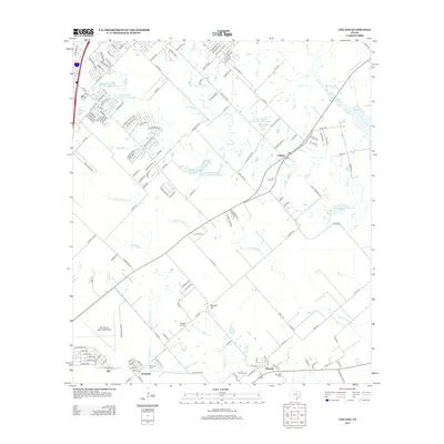 2013 Uhland2013 Print · USGSThe rural expanses between San Marcos and Lockhart are captured here in the early twenty-first century as suburban growth meets traditional Texas farm country. Researchers can locate several historic burial grounds like Live Oak Cem and Doyle Cem or trace the winding path of Plum Cr.
 - 2013 Map of Jeddo, 2013 Print
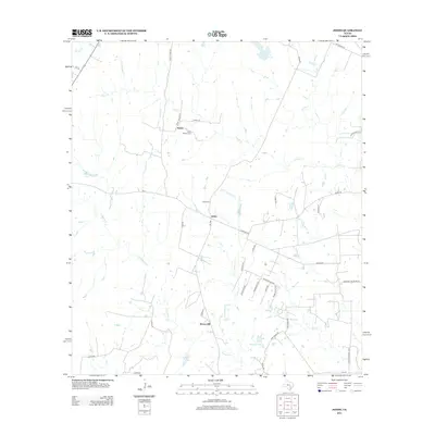 2013 Jeddo2013 Print · USGSGonzales County ranch land is captured here in the early 21st century, showing the rural communities between the creek forks. Researchers can locate family landmarks like the Jeddo Cem, Saint Phillips Cem, and the small settlement of Brown Hill.
Showing maps 1-25 of 68
Top cities of Caldwell County
Frequently asked questions
- What are the different types of historical maps available for Caldwell County?
- What is the oldest map of Caldwell County?
- Where can I purchase historical maps of Caldwell County for my home or office?
- Where can I download high-res historical maps of Caldwell County?
- Are there historical topographic maps available for Caldwell County?
- Is there historical aerial imagery available for Caldwell County?
- Where are historical maps of Caldwell County sourced from?