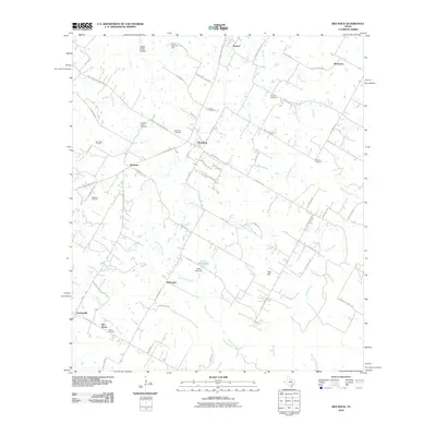
2010 Map of Red Rock
USGS Topo · Published 2010About this map
Red Rock serves as the central hub of this Bastrop County landscape, situated at the junction of several farm-to-market roads. The region is defined by a series of small, established settlements like Rockne, Bateman, and Pettytown, interspersed with an active extractive economy. Multiple petroleum sites, including the Carrol Lentz Oil Field, Bee Creek Oil Field, and Bateman Oil Field, are scattered across the terrain, indicating the persistent importance of the oil industry to the local economy.
Find a feature on this map
69 named features on this map. Tap any name to fly to it.
Don’t see what you’re looking for? This feature index may not catch every label — zoom into the map to look around manually.
Map Details
Editions of this 2010 Red Rock Map
This is the sole edition of this map. No revisions or reprints were ever made.
Other maps of this area

1885 · Bastrop
USGS Topo · 1:125,000

1893 · Bastrop
USGS Topo · 1:125,000

1896 · Austin
USGS Topo · 1:125,000

1897 · Austin
USGS Topo · 1:125,000

1901 · Flatonia
USGS Topo · 1:125,000

1904 · Bastrop
USGS Topo · 1:125,000

1910 · Austin
USGS Topo · 1:125,000

1911 · San Marcos
USGS Topo · 1:125,000

1919 · San Marcos
USGS Topo · 1:125,000

1925 · San Marcos 1-d
USGS Topo · 1:48,000