
1919 Map of San Marcos
USGS Topo · Published 1919About this map
The San Marcos River and Guadalupe River define this Central Texas landscape as it appeared just after the First World War. This tactical map, prepared under the direction of W. P. Stokey, provides a detailed view of the growing rail hubs at San Marcos and Lockhart, connected by the International & Great Northern RR and the Missouri Kansas & Texas RR. The agricultural character of the region is evident in the dense network of rural schoolhouses and small communities that served local farming families across the Hays and Caldwell county lines.
Find a feature on this map
55 named features on this map. Tap any name to fly to it.
Don’t see what you’re looking for? This feature index may not catch every label — zoom into the map to look around manually.
Map Details
Editions of this 1919 San Marcos Map
This is the sole edition of this map. No revisions or reprints were ever made.
Other maps of this area

1885 · Bastrop
USGS Topo · 1:125,000
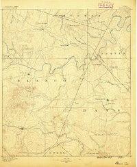
1887 · Blanco
USGS Topo · 1:125,000

1893 · Bastrop
USGS Topo · 1:125,000
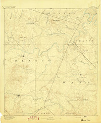
1894 · Blanco
USGS Topo · 1:125,000

1896 · Austin
USGS Topo · 1:125,000

1897 · Austin
USGS Topo · 1:125,000
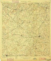
1901 · Flatonia
USGS Topo · 1:125,000

1904 · Bastrop
USGS Topo · 1:125,000

1910 · Austin
USGS Topo · 1:125,000

1911 · San Marcos
USGS Topo · 1:125,000