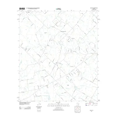
2013 Map of Dale
USGS Topo · Published 2013About this map
Saint Johns Colony and the nearby settlement of Dale anchor this section of Caldwell County, where rural life is defined by a landscape of small creeks and oil production. The region is drained by several watercourses including Walnut Cr, Lytton Cr, and Brushy Cr, which feed into various stock ponds and reservoirs such as Soil Conservation Service Site 26 Reservoir. The area's industrial character is clearly marked by the Lytton Springs Oil Field, Dale Oil Field, and Buchanan Oil Field, highlighting the continued importance of petroleum extraction in this part of Texas. Genealogists will find this sheet particularly valuable for its density of rural burial grounds, including the Lytton Springs Cem, Saint John Cem, and Bunton Cem, which are scattered throughout the countryside alongside local landmarks like Pool Hollow.
Find a feature on this map
115 named features on this map. Tap any name to fly to it.
Don’t see what you’re looking for? This feature index may not catch every label — zoom into the map to look around manually.
Map Details
Editions of this 2013 Dale Map
This is the sole edition of this map. No revisions or reprints were ever made.
Other maps of this area

1885 · Bastrop
USGS Topo · 1:125,000

1893 · Bastrop
USGS Topo · 1:125,000

1896 · Austin
USGS Topo · 1:125,000

1897 · Austin
USGS Topo · 1:125,000

1901 · Flatonia
USGS Topo · 1:125,000

1904 · Bastrop
USGS Topo · 1:125,000

1910 · Austin
USGS Topo · 1:125,000

1911 · San Marcos
USGS Topo · 1:125,000

1919 · San Marcos
USGS Topo · 1:125,000

1925 · San Marcos 1-d
USGS Topo · 1:48,000