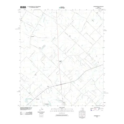
2010 Map of Creedmoor
USGS Topo · Published 2010About this map
Creedmoor and Mustang Ridge anchor this central Texas landscape south of Austin during the early 21st century. The map reveals a transition from traditional rural homesteads to modern development, defined by a network of farm-to-market roads and long-standing family landmarks. Significant genealogical value is found in the distribution of community burial grounds, including the Carl Cemetery, Vasquez Cemetery, and Guadalupe Cemetery near Mendoza. Water management is a visible priority across the terrain, evidenced by features such as the Soil Conservation Service Site 16 Reservoir and Clark Lake, which collect runoff from Cowpen Creek and Cedar Creek. The drainage patterns of Maha Creek and Dry Creek suggest a landscape shaped by intermittent water flow and agricultural drainage, while settlements like Niederwald and Elroy mark the intersection of historic travel routes and local ranching interests.
Find a feature on this map
55 named features on this map. Tap any name to fly to it.
Don’t see what you’re looking for? This feature index may not catch every label — zoom into the map to look around manually.
Map Details
Editions of this 2010 Creedmoor Map
This is the sole edition of this map. No revisions or reprints were ever made.
Other maps of this area

1896 · Austin
USGS Topo · 1:125,000

1897 · Austin
USGS Topo · 1:125,000

1910 · Austin
USGS Topo · 1:125,000

1911 · San Marcos
USGS Topo · 1:125,000

1919 · San Marcos
USGS Topo · 1:125,000

1930 · Lockhart
USGS Topo · 1:62,500

1953 · Seguin
USGS Topo · 1:250,000

1954 · Austin
USGS Topo · 1:250,000

1955 · Montopolis
USGS Topo · 1:24,000

1955 · Oak Hill
USGS Topo · 1:24,000