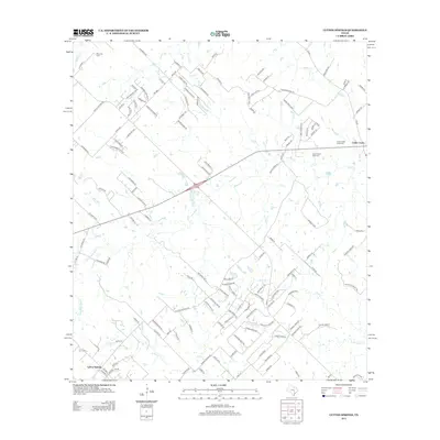
2012 Map of Lytton Springs
USGS Topo · Published 2012About this map
Lytton Springs and Cedar Creek anchor this central Texas landscape, where modern residential development begins to thread through traditional ranching and oil production lands. The northern reaches are dominated by the Elroy Oil Field, reflecting the area's long-standing connection to the petroleum industry. Between these points, a complex network of named roads like Wright Dr and Thousand Oaks Dr indicates the subdivision of older land holdings into newer rural communities.
Find a feature on this map
139 named features on this map. Tap any name to fly to it.
Don’t see what you’re looking for? This feature index may not catch every label — zoom into the map to look around manually.
Map Details
Editions of this 2012 Lytton Springs Map
This is the sole edition of this map. No revisions or reprints were ever made.
Other maps of this area

1885 · Bastrop
USGS Topo · 1:125,000

1893 · Bastrop
USGS Topo · 1:125,000

1896 · Austin
USGS Topo · 1:125,000

1897 · Austin
USGS Topo · 1:125,000

1901 · Flatonia
USGS Topo · 1:125,000

1904 · Bastrop
USGS Topo · 1:125,000

1910 · Austin
USGS Topo · 1:125,000

1911 · San Marcos
USGS Topo · 1:125,000

1919 · San Marcos
USGS Topo · 1:125,000

1930 · Lockhart
USGS Topo · 1:62,500