Old Maps of Pittsburg, Texas for Academic Research
Study the evolution of Pittsburg with 19 high-resolution historic maps. Whether you're teaching, researching, or modeling changes in land use, these maps provide essential visual documentation of urban, environmental, and geographic change.
- Analyze long-term change: Track patterns in development, transportation, and natural features.
- Ideal for environmental or urban studies: Support academic projects with primary historical map data.
- Use in the classroom or lab: Educators and researchers rely on these maps to bring historical context to life.
These maps are a powerful tool for teaching, research, and visualizing how Pittsburg has changed over the decades.
Pittsburg, TX maps
(19)- 1953 Map of Texarkana, 1964 Print
 1953 Texarkana1964 Print · USGSThe Texas-Arkansas borderlands are captured here in the mid-fifties, during a decade of massive military and hydraulic engineering projects. Genealogists and researchers can locate family landmarks like Old Boston Cem, Siloam Ch, and the vast Red River Arsenal.4 unique versions available
 - 1956 Map of Texarkana
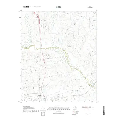
 1956 Texarkana1956 Print · USGSThe Ark-La-Tex borderlands come alive in the mid-fifties, showing the transition from a rail-dependent rural economy to a post-war industrial landscape. Researchers can trace the massive Red River Ordnance Depot and find towns like Talco, Bogata, and Naples.
 - 1956 Map of Tyler
 1956 Tyler1956 Print · USGSEast Texas was a powerhouse of oil production and rail transport during the mid-fifties, centered on the sprawling East Texas Oil Field. Researchers can trace the heritage of industrial hubs like Kilgore, military sites such as the Longhorn Ordnance Works, and many rural landmarks like Mount Enterprise.5 unique versions available
 - 1960 Map of Pittsburg, 1962 Print
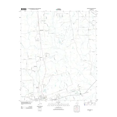
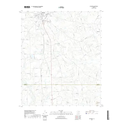
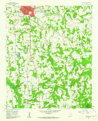 1960 Pittsburg1962 Print · USGSNorthwest of the Piney Woods in the early sixties, Pittsburg appears as a bustling railroad junction where two major lines meet. Genealogists can trace rural family life through numerous landmarks like Smart Cem, Union Chapel, and St Merner Ch.2 unique versions available
 - 1964 Map of Harvard, 1967 Print
 1964 Harvard1967 Print · USGSIn the mid-1960s, the rural landscapes of Titus and Camp Counties were defined by the winding Big Cypress Creek and the intersection of major rail lines. Genealogists can trace family footprints at Concord Cem, North Chapel Cem, and old church sites like East New Hope Ch.
 - 1984 Map of Tyler
 1984 Tyler1984 Print · USGSEast Texas at the peak of its reservoir-building era shows a landscape defined by new lakes and established rail corridors. Trace the path of the St Louis Southwestern RR or locate industrial sites like the Longhorn Ordnance Works.3 unique versions available
 - 1986 Map of Marshall
 1986 Marshall1986 Print · USGSEast Texas and the Louisiana borderlands are shown in the mid-1980s during a period of sustained industrial and energy production. Researchers can trace family roots through settlements like Ebenezer or study the impact of the Longhorn Army Ammunition Plant and Rodessa Oil Field.2 unique versions available
 - 1986 Map of Texarkana
 1986 Texarkana1986 Print · USGSThe Texas-Arkansas borderlands are captured here in the mid-eighties as a hub of military industry and river-basin geography. Genealogists and local historians can locate rural landmarks like Red Hill Cem, Coopers Chapel, and the Lone Star Army Ammunition Plant.
 - 1992 Map of Texarkana
 1992 Texarkana1992 Print · USGSThe Ark-La-Tex border region comes into focus in the early nineties, centered on the sprawling waters of Wright Patman Lake. Genealogists and historians can trace rail-town development and rural roots through Old Union Cem, the Red River Army Depot, and Dalby Springs Cem.
 - 2010 Map of Harvard, 2010 Print
 2010 Harvard2010 Print · USGSCovers Pittsburg, including Mount Pleasant, Macedonia, and other nearby areas
 - 2010 Map of Pittsburg, 2010 Print
 2010 Pittsburg2010 Print · USGSCovers Pittsburg, including Pine, Crossroads, and other nearby areas
 - 2013 Map of Harvard, 2013 Print
 2013 Harvard2013 Print · USGSCovers Pittsburg, including Mount Pleasant, Macedonia, and other nearby areas
 - 2013 Map of Pittsburg, 2013 Print
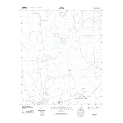
 2013 Pittsburg2013 Print · USGSCovers Pittsburg, including Pine, Crossroads, and other nearby areas
 - 2016 Map of Pittsburg, 2016 Print
 2016 Pittsburg2016 Print · USGSCovers Pittsburg, including Pine, Crossroads, and other nearby areas
 - 2016 Map of Harvard, 2016 Print
 2016 Harvard2016 Print · USGSCovers Pittsburg, including Mount Pleasant, Macedonia, and other nearby areas
 - 2019 Map of Pittsburg, 2019 Print
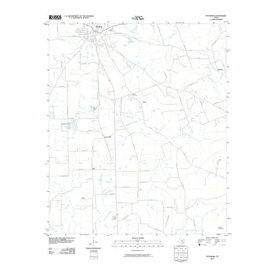
 2019 Pittsburg2019 Print · USGSCovers Pittsburg, including Pine, Crossroads, and other nearby areas
 - 2019 Map of Harvard, 2019 Print
 2019 Harvard2019 Print · USGSCovers Pittsburg, including Mount Pleasant, Macedonia, and other nearby areas
 - 2022 Map of Harvard, 2022 Print
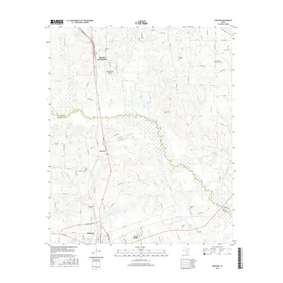
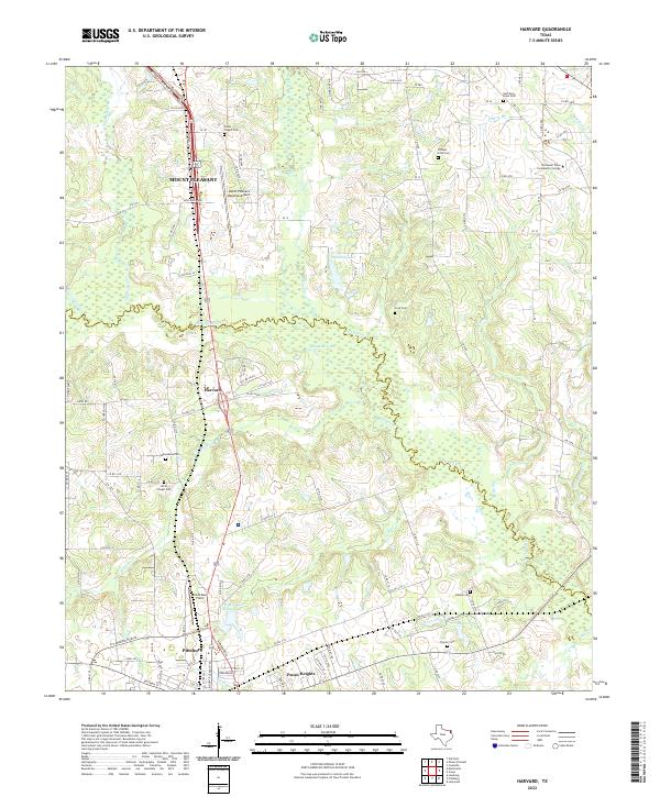 2022 Harvard2022 Print · USGSThis East Texas landscape spans the border of Titus and Camp Counties in 2022, centering on the corridor between Mount Pleasant and Pittsburg. Genealogists and local historians can trace family burial sites at Macedonia Cem or North Chapel Cem and explore landmarks like Harvard and Sandlin Lake.
 - 2022 Map of Pittsburg, 2022 Print
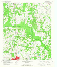
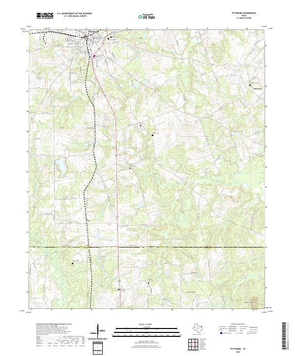 2022 Pittsburg2022 Print · USGSThe city of Pittsburg and the surrounding creek valleys of Camp and Upshur counties are shown here in modern detail. Genealogists can trace numerous burial sites including Rose Hill Cem and Christian Hope Cem, alongside settlements like Pine and Union Ridge.
End of results
Showing maps 1-19 of 19
Top cities near Pittsburg
- Mount Pleasant historical maps
- Daingerfield historical maps
- Omaha historical maps
- Winfield historical maps
- Miller's Cove historical maps
- Rocky Mound historical maps
Top neighborhoods of Pittsburg
Frequently asked questions
- What are the different types of historical maps available for Pittsburg?
- What is the oldest map of Pittsburg?
- Where can I purchase historical maps of Pittsburg for my home or office?
- Where can I download high-res historical maps of Pittsburg?
- Are there historical topographic maps available for Pittsburg?
- Is there historical aerial imagery available for Pittsburg?
- Where are historical maps of Pittsburg sourced from?