Old Maps of Figridge, Texas for Academic Research
Study the evolution of Figridge with 13 high-resolution historic maps. Whether you're teaching, researching, or modeling changes in land use, these maps provide essential visual documentation of urban, environmental, and geographic change.
- Analyze long-term change: Track patterns in development, transportation, and natural features.
- Ideal for environmental or urban studies: Support academic projects with primary historical map data.
- Use in the classroom or lab: Educators and researchers rely on these maps to bring historical context to life.
These maps are a powerful tool for teaching, research, and visualizing how Figridge has changed over the decades.
Figridge, TX maps
(13)- 1943 Map of Stowell, 1956 Print
 1943 Stowell1956 Print · USGSCoastal Texas prairie life during the mid-forties centered on the growing rail-side communities of Winnie and Stowell. Genealogists and historians can trace the early irrigation networks of the Lone Star Canal and locate local landmarks like School No 2 and Oil Wells.
 - 1950 Map of Houston, 1953 Print
 1950 Houston1953 Print · USGSCoastal Texas in the early fifties reveals a landscape of massive civil engineering and industrial transit. Genealogists and researchers can trace the growth of the Houston suburbs and the maritime infrastructure of Galveston Bay, including the Gulf Freeway and the Texas City Dike.
 - 1956 Map of Houston, 1963 Print
 1956 Houston1963 Print · USGSSoutheast Texas in the mid-fifties is captured here as a powerhouse of oil and maritime trade. Genealogists and historians can trace the foundations of Houston and its ports, alongside landmarks like the Rice Institute and the Spindletop Oil Field.2 unique versions available
 - 1962 Map of Stowell, 1964 Print
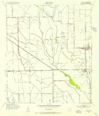
 1962 Stowell1964 Print · USGSThe coastal prairies of Chambers County in the early sixties reveal a landscape shaped by petroleum and irrigation. Genealogists and historians can trace family-named sites near Winnie and Stowell, alongside the Sea Breeze Oil Field and Fairview Cem.3 unique versions available
 - 1975 Map of Houston, 1977 Print
 1975 Houston1977 Print · USGSThe Texas Gulf Coast in the mid-seventies shows a sprawling Houston metropolis linked to the sea by the massive Houston Ship Channel. Researchers can trace the mid-century industrial landscape from the Astrodome to the Lyndon B. Johnson Space Center.2 unique versions available
 - 1983 Map of Anahuac
 1983 Anahuac1983 Print · USGSThe Upper Texas Coast and its energy-driven landscape are detailed here in the early eighties. Genealogists and historians can trace coastal settlements like Anahuac and Winnie alongside the storied Spindletop Oil Field and the Anahuac National Wildlife Refuge.2 unique versions available
 - 1993 Map of Stowell, 1994 Print
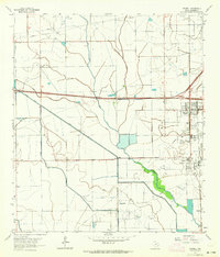
 1993 Stowell1994 Print · USGSChambers County coastal prairie life thrives in the early nineties near the junction of agricultural canals and oil fields. Genealogists and locals can trace the Winnie and Stowell townsites, the Fairview Cem, and schools like E Chambers High Sch.
 - 2010 Map of Stowell, 2010 Print
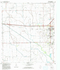
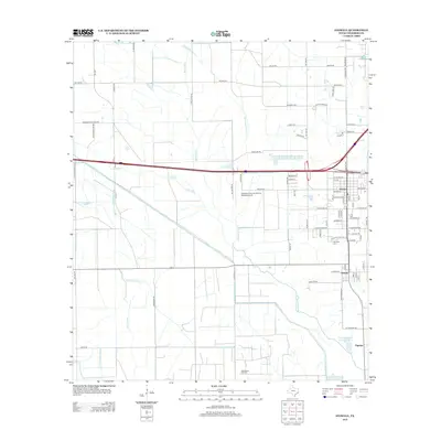
 2010 Stowell2010 Print · USGSCovers Figridge, including Winnie, North Lake, and other nearby areas
 - 2013 Map of Stowell, 2013 Print
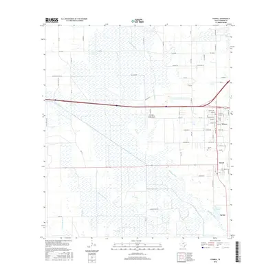
 2013 Stowell2013 Print · USGSCovers Figridge, including Winnie, North Lake, and other nearby areas
 - 2016 Map of Stowell, 2016 Print
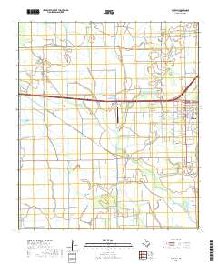
 2016 Stowell2016 Print · USGSCovers Figridge, including Winnie, North Lake, and other nearby areas
 - 2019 Map of Stowell, 2019 Print
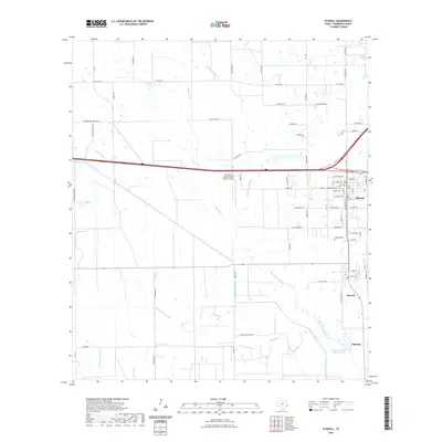
 2019 Stowell2019 Print · USGSCovers Figridge, including Winnie, North Lake, and other nearby areas
 - 2022 Map of Stowell, 2022 Print
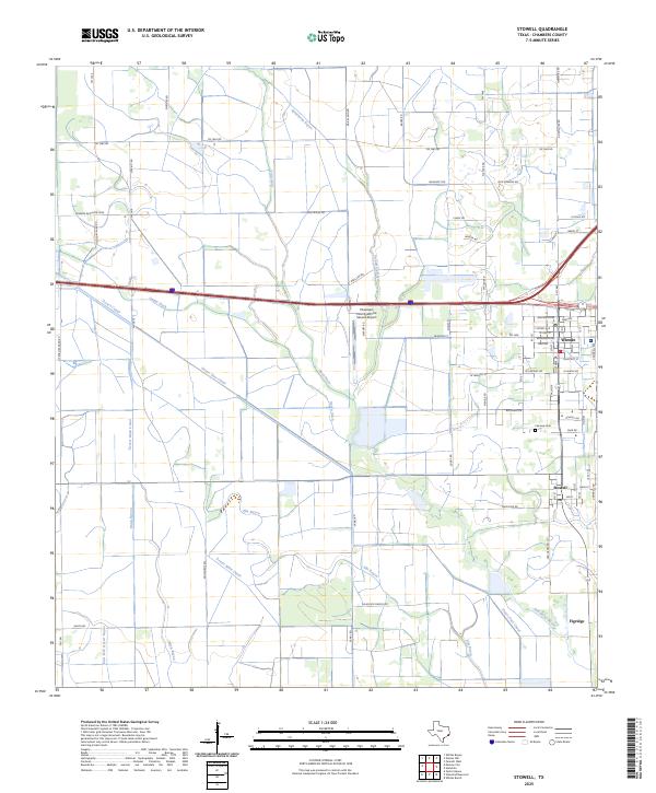
 2022 Stowell2022 Print · USGSCovers Figridge, including Winnie, North Lake, and other nearby areas
 - 2025 Map of Stowell, 2025 Print
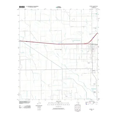
 2025 Stowell2025 Print · USGSThe coastal plains of Chambers County come alive in this recent survey of the Texas gulf coast interior. Genealogists and researchers can trace local family landmarks such as Fairview Cem and the rural roads surrounding Winnie and Stowell.
End of results
Showing maps 1-13 of 13
Top cities near Figridge
Frequently asked questions
- What are the different types of historical maps available for Figridge?
- What is the oldest map of Figridge?
- Where can I purchase historical maps of Figridge for my home or office?
- Where can I download high-res historical maps of Figridge?
- Are there historical topographic maps available for Figridge?
- Is there historical aerial imagery available for Figridge?
- Where are historical maps of Figridge sourced from?