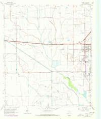
1943 Map of Stowell
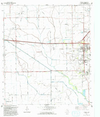
USGS Topo · Published 1956About this map
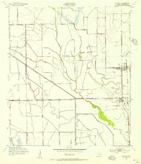
Agricultural irrigation and energy exploration define this coastal prairie landscape in Chambers County during the early 1940s. The neighboring communities of Winnie and Stowell serve as the primary hubs, linked by the Gulf Colorado and Santa Fe railroad and a grid of rural roads including Nome Road and Hankamer Road. The map reveals a complex network of man-made waterways like the Stowell Canal and the Lone Star Canal, essential for supporting the region's rice farming and cattle ranching economy. Local history is anchored by School No 2 and the Winnie Stowell Cemetery, while the presence of scattered Oil Wells indicates the industrial transition taking place on the outskirts of Figridge. Natural drainage is provided by meandering coastal streams such as Spindletop Bayou and Elm Bayou, which cut through the flat terrain alongside modern engineering projects like the Devers Canal East Branch.
Find a feature on this map
20 named features on this map. Tap any name to fly to it.
Don’t see what you’re looking for? This feature index may not catch every label — zoom into the map to look around manually.
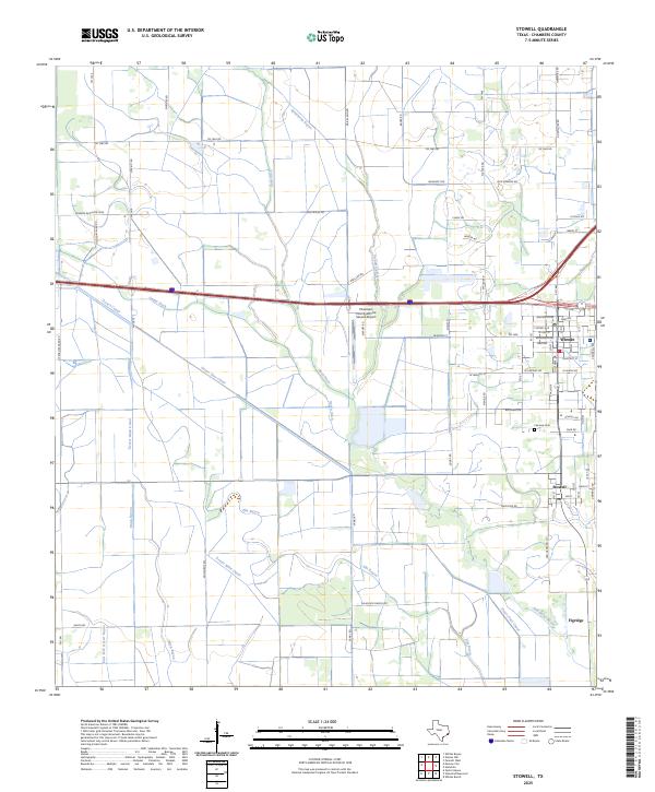
Map Details
Editions of this 1943 Stowell Map
This is the sole edition of this map. No revisions or reprints were ever made.
Historical Maps of Winnie Through Time
4 maps found