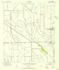
1993 Map of Stowell
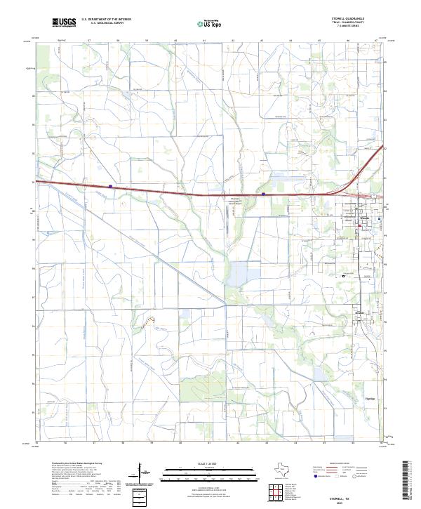
USGS Topo · Published 1994About this map
The coastal prairie of Chambers County is defined by an intricate network of irrigation and navigation infrastructure in this early 1990s study. Much of the landscape is shaped by the Chambers-Liberty Counties Navigation District Canal and the East Devers Main Canal, which support the agricultural and industrial operations south of the Sea Breeze Oil Field. The neighboring communities of Winnie and Stowell serve as the primary hubs, featuring the E Chambers High Sch campus and the historic Fairview Cem.
Find a feature on this map
35 named features on this map. Tap any name to fly to it.
Don’t see what you’re looking for? This feature index may not catch every label — zoom into the map to look around manually.
Map Details
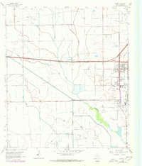
Editions of this 1993 Stowell Map
This is the sole edition of this map. No revisions or reprints were ever made.
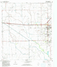
Historical Maps of Winnie Through Time
4 maps found