Old Maps of Charlie, Texas for Academic Research
Study the evolution of Charlie with 10 high-resolution historic maps. Whether you're teaching, researching, or modeling changes in land use, these maps provide essential visual documentation of urban, environmental, and geographic change.
- Analyze long-term change: Track patterns in development, transportation, and natural features.
- Ideal for environmental or urban studies: Support academic projects with primary historical map data.
- Use in the classroom or lab: Educators and researchers rely on these maps to bring historical context to life.
These maps are a powerful tool for teaching, research, and visualizing how Charlie has changed over the decades.
Charlie, TX maps
(10)- 1955 Map of Lawton, 1958 Print
 1955 Lawton1958 Print · USGSSouthwestern Oklahoma and North Texas are shown here in the mid-fifties, dominated by the Wichita Mountains and the vital Red River watershed. Genealogists and historians can trace the foundations of Lawton alongside rural landmarks like Rainy Mountain Church and Pleasant Hill School.5 unique versions available
 - 1957 Map of Randlett, 1958 Print
 1957 Randlett1958 Print · USGSThe Red River borderlands of Oklahoma and Texas come alive in this mid-century survey of the local oil fields and river bottoms. Researchers can trace rural lineages through sites like Randlett Cem, the Linville Sch (Aban'd), and the historical Perkins Reservation.2 unique versions available
 - 1972 Map of Charlie, 1975 Print
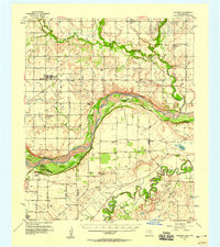
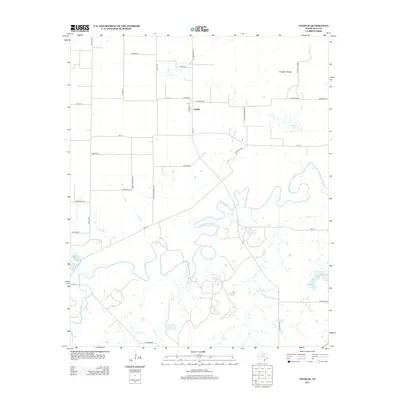
 1972 Charlie1975 Print · USGSThe Clay County ranching and oil country comes into focus in the early 1970s as the Wichita River snakes through the landscape. Genealogists and historians can trace the settlement of Charlie, locate the local Cem, and map the extensive oil field infrastructure.
 - 1985 Map of Burkburnett, 1986 Print
 1985 Burkburnett1986 Print · USGSThe Red River valley and North Texas oil fields are captured here in the mid-eighties, showing the vital connection between military hubs and rail towns. Researchers can trace the path of the Missouri Kansas Texas railroad through Burkburnett or locate Waurika Lake and Sheppard Air Force Base.2 unique versions available
 - 1991 Map of Charlie, 1995 Print
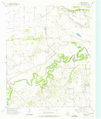
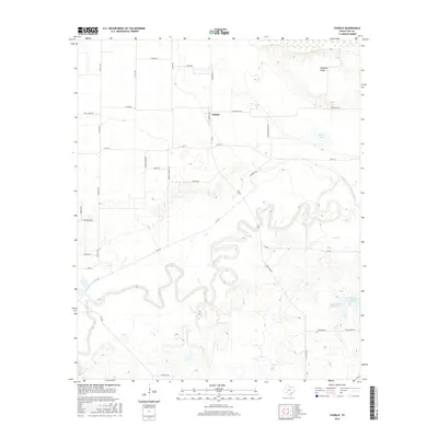
 1991 Charlie1995 Print · USGSClay County near the Red River border was a landscape of petroleum production and river bottomlands in the early nineties. Genealogists and local historians can trace the roads around Charlie, find the community Cem, and locate early Oil Field sites.
 - 2011 Map of Charlie, 2011 Print
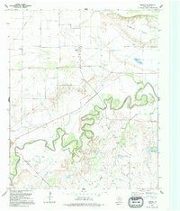
 2011 Charlie2011 Print · USGSCovers Charlie, including Clay County, United States, and other nearby areas
 - 2013 Map of Charlie, 2013 Print
 2013 Charlie2013 Print · USGSCovers Charlie, including Clay County, United States, and other nearby areas
 - 2016 Map of Charlie, 2016 Print
 2016 Charlie2016 Print · USGSCovers Charlie, including Clay County, United States, and other nearby areas
 - 2019 Map of Charlie, 2019 Print
 2019 Charlie2019 Print · USGSCovers Charlie, including Clay County, United States, and other nearby areas
 - 2022 Map of Charlie, 2022 Print
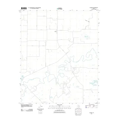
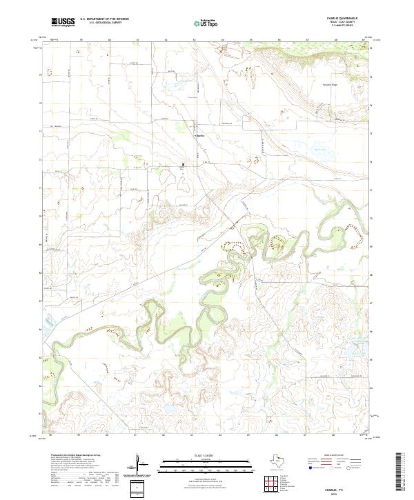 2022 Charlie2022 Print · USGSClay County's rural northern plains are captured in this modern survey, showing the agricultural landscape north of the Wichita River. Researchers can locate the Charlie Cem and trace the many oxbows and creeks such as Hay Cr and Byers Lake.
End of results
Showing maps 1-10 of 10
Top cities near Charlie
- Wichita Falls historical maps
- Burkburnett historical maps
- Temple historical maps
- Petrolia historical maps
- Randlett historical maps
- Byers historical maps
See more
Frequently asked questions
- What are the different types of historical maps available for Charlie?
- What is the oldest map of Charlie?
- Where can I purchase historical maps of Charlie for my home or office?
- Where can I download high-res historical maps of Charlie?
- Are there historical topographic maps available for Charlie?
- Is there historical aerial imagery available for Charlie?
- Where are historical maps of Charlie sourced from?