Old Maps of Petrolia, Texas for Hiking & Exploration
Hike through history with 9 historic maps of Petrolia. Explore old trails, ghost towns, and forgotten backroads — perfect for outdoor adventurers and local explorers.
- Rediscover forgotten places: Map out old mining camps, roads, and footpaths that no longer exist on modern maps.
- Layer with modern tools: Combine with LiDAR or satellite views to plan hikes through historical terrain.
- Made for exploration: Popular among hikers, overlanders, and local history lovers.
Use these maps to find adventure and explore the hidden past of Petrolia.
Petrolia, TX maps
(9)- 1955 Map of Lawton, 1958 Print
 1955 Lawton1958 Print · USGSSouthwestern Oklahoma and North Texas are shown here in the mid-fifties, dominated by the Wichita Mountains and the vital Red River watershed. Genealogists and historians can trace the foundations of Lawton alongside rural landmarks like Rainy Mountain Church and Pleasant Hill School.5 unique versions available
 - 1957 Map of Hastings
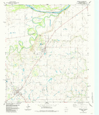
 1957 Hastings1957 Print · USGSThe Red River frontier in the mid-fifties shows a landscape defined by the Chicago Rock Island and Pacific railroad and the booming oil industry. Genealogists and historians can trace family locations near Hastings, Byers, and the Petrolia Oil Field.2 unique versions available
 - 1984 Map of Petrolia, 1985 Print
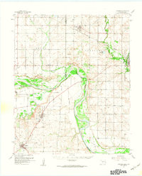
 1984 Petrolia1985 Print · USGSNorthern Texas at the dawn of the 1980s reveals a landscape defined by the winding Red River and the industrial footprint of the petroleum industry. Researchers can trace the Old Railroad Grade connecting Petrolia to Byers and locate the Riverside Cemetery near the river banks.
 - 1985 Map of Burkburnett, 1986 Print
 1985 Burkburnett1986 Print · USGSThe Red River valley and North Texas oil fields are captured here in the mid-eighties, showing the vital connection between military hubs and rail towns. Researchers can trace the path of the Missouri Kansas Texas railroad through Burkburnett or locate Waurika Lake and Sheppard Air Force Base.2 unique versions available
 - 2010 Map of Petrolia, 2010 Print
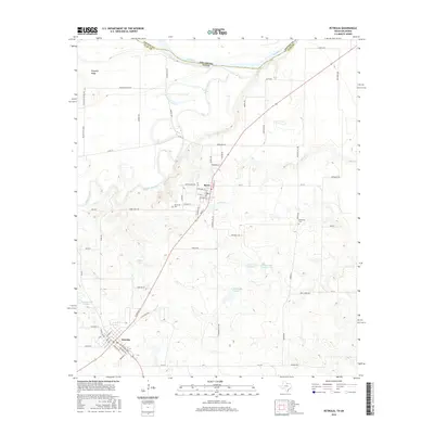
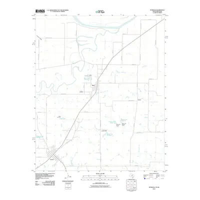 2010 Petrolia2010 Print · USGSCovers Petrolia, including Byers, Clay County, and other nearby areas
 - 2012 Map of Petrolia, 2012 Print
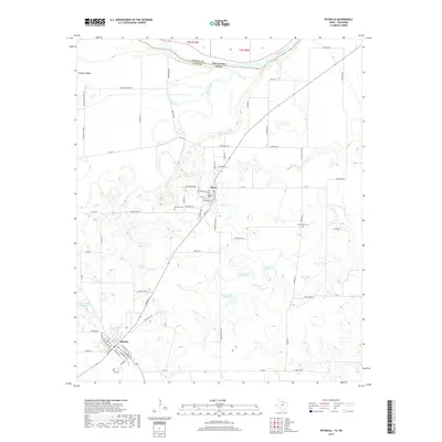
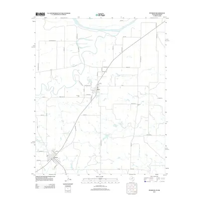 2012 Petrolia2012 Print · USGSCovers Petrolia, including Byers, Clay County, and other nearby areas
 - 2016 Map of Petrolia, 2016 Print
 2016 Petrolia2016 Print · USGSCovers Petrolia, including Byers, Clay County, and other nearby areas
 - 2019 Map of Petrolia, 2019 Print
 2019 Petrolia2019 Print · USGSCovers Petrolia, including Byers, Clay County, and other nearby areas
 - 2022 Map of Petrolia, 2022 Print
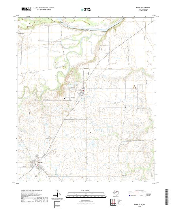 2022 Petrolia2022 Print · USGSThe Clay County borderlands at the turn of the 2020s show a landscape shaped by the Red River and the rural communities of Byers and Petrolia. Researchers can trace local lineage at Riverside Cem or locate the site of the Valentine School near Pumpkin Ridge.
End of results
Showing maps 1-9 of 9
Top cities near Petrolia
- Wichita Falls historical maps
- Henrietta historical maps
- Waurika historical maps
- Randlett historical maps
- Byers historical maps
- Dean historical maps
See more
Frequently asked questions
- What are the different types of historical maps available for Petrolia?
- What is the oldest map of Petrolia?
- Where can I purchase historical maps of Petrolia for my home or office?
- Where can I download high-res historical maps of Petrolia?
- Are there historical topographic maps available for Petrolia?
- Is there historical aerial imagery available for Petrolia?
- Where are historical maps of Petrolia sourced from?