Old Maps of Burkett, Texas
Explore 12 old maps of Burkett, spanning from 1887 to today. These high-resolution historic maps reveal how streets, neighborhoods, landmarks, and natural features evolved over time — perfect for genealogy, metal detecting, research, and local history exploration.
What you can do with these maps:
- See how Burkett changed over time: Compare historical maps to modern-day views to trace roads, homesites, rail lines & more.
- View detailed metadata: Each map includes creators, publishers, year, scale, and archive source.
- Overlay maps with satellite & LiDAR: Visualize the past alongside modern tools to explore terrain & human change.
- Trusted historical sources: Maps sourced from the USGS, Library of Congress, and other archives.
- Access maps your way: View online, download high-res files, or order prints for personal or research use.
Start exploring old maps of Burkett to uncover forgotten places, hidden landmarks, and the deep history beneath your feet.
Burkett, TX maps
(12)- 1887 Map of Coleman, 1889 Print
 1887 Coleman1889 Print · USGSCentral Texas was undergoing a rapid transformation into a rail-connected ranching hub in the late 1880s. Local researchers can trace the early layout of Coleman and locate frontier landmarks like Camp Colorado, Byrds Store, and the Santa Anna Mountains.2 unique versions available
 - 1889 Map of Coleman, 1905 Print
 1889 Coleman1905 Print · USGSCentral Texas is captured in the late nineteenth century as the railroad began transforming the frontier into a network of cattle and farming towns. Genealogists can trace early homesteading hubs and remote outposts like Camp Colorado, Byrds Store, and Trickham.4 unique versions available
 - 1924 Map of Brownwood Reservoir Site
 1924 Brownwood Reservoir Site1924 Print · USGSThe river valleys of Brown County are captured here in the mid-1920s during the planning of a major reservoir project. Researchers can trace the original landscape of Pecan Bayou and locate vanished landmarks like Rocky Church and Frys Ford before the waters rose.
 - 1927 Map of Grosvenor
 1927 Grosvenor1927 Print · USGSIn the mid-1920s, the rural landscapes of Brown and Coleman Counties were connected by winding wagon roads and creek fords. Genealogists can trace the early community hubs of Grosvenor and Thrifty alongside schools like Macedonia School and Buffalo School.2 unique versions available
 - 1954 Map of Brownwood, 1955 Print
 1954 Brownwood1955 Print · USGSCentral Texas in the early fifties shows a landscape of rail-linked cattle towns and winding river valleys before modern highway expansion. Genealogists and historians can trace family-named peaks and vanished rail stops like Trickham, Santa Anna, and the Brady Mountains.3 unique versions available
 - 1960 Map of Burkett, 1962 Print
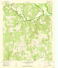 1960 Burkett1962 Print · USGSSettlement and industry meet in this pocket of Central Texas at the dawn of the 1960s, showing the rural landscape before modern expansion. Researchers can locate the Burkett townsite, the Cem, and numerous Oil Wells scattered near the Holloway Mountains.
 - 1985 Map of Coleman
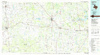 1985 Coleman1985 Print · USGSCentral Texas ranching and rail country comes to life in the 1980s as the Atchison Topeka and Santa Fe line cuts through Coleman. Researchers can trace old settlements and topography from Robinson Peak to the waters of Lake Brownwood State Park.2 unique versions available
 - 2010 Map of Burkett, 2010 Print
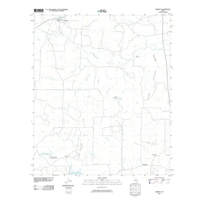 2010 Burkett2010 Print · USGSGrosvenor and Burkett are depicted here in the early twenty-first century, showing a landscape defined by cattle country and water conservation. Researchers can locate Smith Cemetery, trace the Barefoot Mountains, and identify landmarks like Red Knob and Jolley Lake.
 - 2013 Map of Burkett, 2013 Print
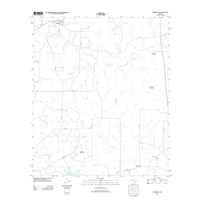 2013 Burkett2013 Print · USGSThe rural landscapes of Brown and Coleman Counties come into focus in the early 21st century, showing the enduring layout of small Texas communities. You can locate family burial sites at Smith Cem and Panther Creek Cem or trace the drainages of Pecan Bayou and Deadman Br.
 - 2016 Map of Burkett, 2016 Print
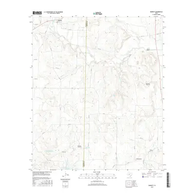 2016 Burkett2016 Print · USGSThis mid-2010s landscape on the Coleman and Brown County line shows a region of cattle ranching and high ridges. Researchers can locate family burial sites at Smith Cem and Panther Creek Cem or trace landmarks like the Barefoot Mountains.
 - 2019 Map of Burkett, 2019 Print
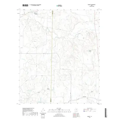 2019 Burkett2019 Print · USGSCrossing the Coleman and Brown county line in the late 2010s, this area maintains its rural character through established ranching lands and small settlements. Researchers can locate family landmarks such as Smith Cemetery, Red Knob, and the Barefoot Mountains near Burkett.
 - 2022 Map of Burkett, 2022 Print
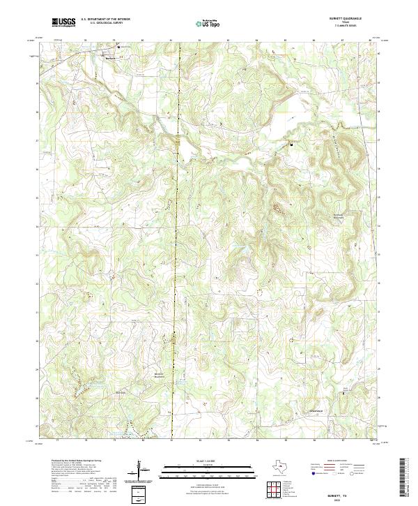 2022 Burkett2022 Print · USGSCentral Texas ranching country in 2022 centers on the border of Brown and Coleman counties. Genealogists can trace family names at Burkett Cemetery and Lewis Family Cemetery, or explore the terrain of the Barefoot Mountains.
End of results
Showing maps 1-12 of 12
Top cities near Burkett
Frequently asked questions
- What are the different types of historical maps available for Burkett?
- What is the oldest map of Burkett?
- Where can I purchase historical maps of Burkett for my home or office?
- Where can I download high-res historical maps of Burkett?
- Are there historical topographic maps available for Burkett?
- Is there historical aerial imagery available for Burkett?
- Where are historical maps of Burkett sourced from?