Old Maps of Celina, Texas for Academic Research
Study the evolution of Celina with 33 high-resolution historic maps. Whether you're teaching, researching, or modeling changes in land use, these maps provide essential visual documentation of urban, environmental, and geographic change.
- Analyze long-term change: Track patterns in development, transportation, and natural features.
- Ideal for environmental or urban studies: Support academic projects with primary historical map data.
- Use in the classroom or lab: Educators and researchers rely on these maps to bring historical context to life.
These maps are a powerful tool for teaching, research, and visualizing how Celina has changed over the decades.
Celina, TX maps
(33)- 1954 Map of Sherman, 1964 Print
 1954 Sherman1964 Print · USGSThe Red River valley and North Texas plains are captured here in the mid-fifties, showing the region as new reservoirs like Lake Texoma and Lavon Reservoir reshaped the land. Genealogists can trace family roots through specific local landmarks like Courtney P O, Pilot Grove Sch, and New Hope Ch.2 unique versions available
 - 1958 Map of Sherman, 1959 Print
 1958 Sherman1959 Print · USGSNorth Texas and Southern Oklahoma were undergoing significant development in the late fifties as the Red River Valley transit networks matured. Researchers can trace historic family-named locations such as Saddler Bend, the grounds of Perrin AFB, and early shoreline developments at Lake Texoma.
 - 1960 Map of Celina, 1961 Print
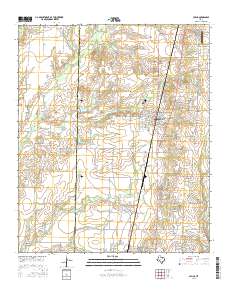
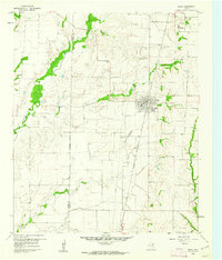 1960 Celina1961 Print · USGSCollin and Denton counties come alive in the early sixties, showing a landscape shaped by the Frisco railroad. Genealogists can trace family footprints at Old Celina Cem, Old Union Cem, and the settlement of Alla.3 unique versions available
 - 1960 Map of Aubrey, 1962 Print
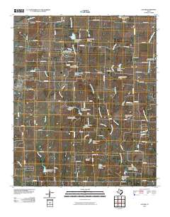
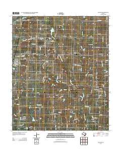
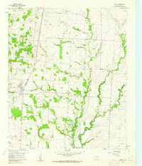 1960 Aubrey1962 Print · USGSDenton County agricultural life is captured here in the early sixties, just as the Garza-Little Elm Reservoir began to reshape the local geography. Researchers can pinpoint the Belew Cem, the central Aubrey townsite, and rural landmarks like the Community House.2 unique versions available
 - 1961 Map of Gunter, 1963 Print
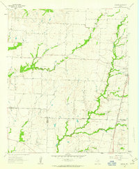
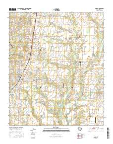
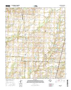
 1961 Gunter1963 Print · USGSThis early 1960s survey of the North Texas prairies captures the border between Grayson and Collin counties as the rural landscape began its modern shift. Genealogists and local historians can locate several family burial grounds, including Smallwood Cem and Forbis Cem, and trace the path of the ST LOUIS SAN FRANCISCO railroad.2 unique versions available
 - 1961 Map of Weston, 1963 Print
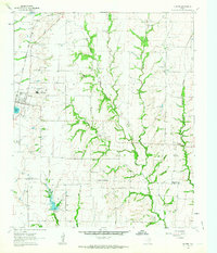
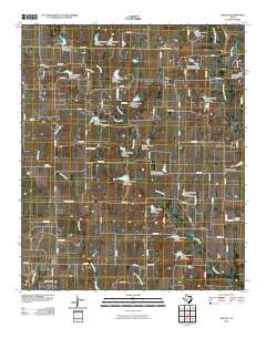
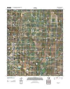
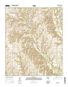
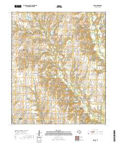
 1961 Weston1963 Print · USGSCollin County farmland is depicted in the early sixties, centered on the settlement of Weston. Genealogists and local historians can trace family-named sites like Mugg Cem, Cottage Hill Ch, and the rural crossroads of Chambersville.2 unique versions available
 - 1961 Map of Marilee, 1963 Print
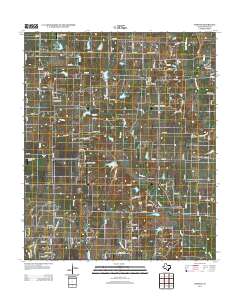
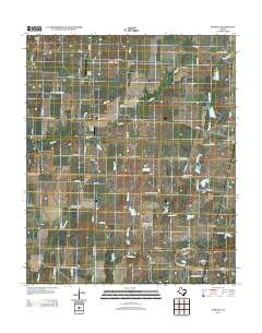
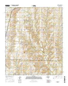
 1961 Marilee1963 Print · USGSThe rural borderlands of Grayson, Denton, and Collin counties come into focus in the early sixties as the railroad era meets modern infrastructure. Trace the tracks of the St Louis San Francisco and Texas rail line through Marilee or locate local landmarks like Mt Carmel Ch and Gunter Cem.2 unique versions available
 - 1985 Map of McKinney
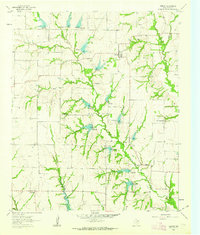
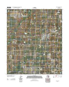
 1985 McKinney1985 Print · USGSNorth Texas in the mid-1980s was a landscape of rural communities connected by a complex web of railroads and creek systems. Researchers can trace family roots through settlements like Westminster, find local landmarks like Henslee Chapel, or map the industrial activity at various Gravel Pits.2 unique versions available
 - 2010 Map of Marilee, 2010 Print
 2010 Marilee2010 Print · USGSCovers Celina, including Pilot Point, Gunter, and other nearby areas
 - 2010 Map of Aubrey, 2010 Print
 2010 Aubrey2010 Print · USGSCovers Celina, including Prosper, Pilot Point, and other nearby areas
 - 2010 Map of Celina, 2010 Print
 2010 Celina2010 Print · USGSCovers Celina, including Prosper, Pilot Point, and other nearby areas
 - 2010 Map of Gunter, 2010 Print
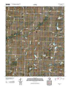
 2010 Gunter2010 Print · USGSCovers Celina, including Howe, Gunter, and other nearby areas
 - 2010 Map of Weston, 2010 Print
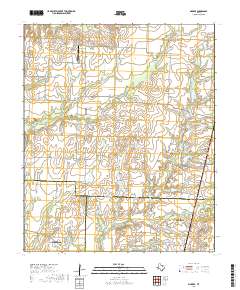
 2010 Weston2010 Print · USGSCovers Celina, including McKinney, Prosper, and other nearby areas
 - 2013 Map of Weston, 2013 Print
 2013 Weston2013 Print · USGSCovers Celina, including McKinney, Prosper, and other nearby areas
 - 2013 Map of Celina, 2013 Print
 2013 Celina2013 Print · USGSCovers Celina, including Prosper, Pilot Point, and other nearby areas
 - 2013 Map of Gunter, 2013 Print
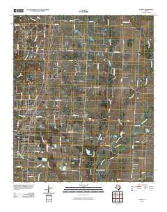
 2013 Gunter2013 Print · USGSCovers Celina, including Howe, Gunter, and other nearby areas
 - 2013 Map of Aubrey, 2013 Print
 2013 Aubrey2013 Print · USGSCovers Celina, including Prosper, Pilot Point, and other nearby areas
 - 2013 Map of Marilee, 2013 Print
 2013 Marilee2013 Print · USGSCovers Celina, including Pilot Point, Gunter, and other nearby areas
 - 2016 Map of Aubrey, 2016 Print
 2016 Aubrey2016 Print · USGSCovers Celina, including Prosper, Pilot Point, and other nearby areas
 - 2016 Map of Weston, 2016 Print
 2016 Weston2016 Print · USGSCovers Celina, including McKinney, Prosper, and other nearby areas
 - 2016 Map of Marilee, 2016 Print
 2016 Marilee2016 Print · USGSCovers Celina, including Pilot Point, Gunter, and other nearby areas
 - 2016 Map of Gunter, 2016 Print
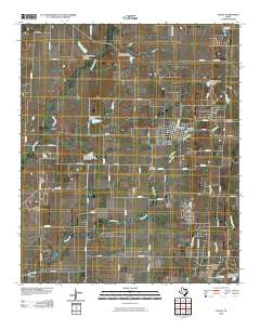
 2016 Gunter2016 Print · USGSCovers Celina, including Howe, Gunter, and other nearby areas
 - 2016 Map of Celina, 2016 Print
 2016 Celina2016 Print · USGSCovers Celina, including Prosper, Pilot Point, and other nearby areas
 - 2019 Map of Weston, 2019 Print
 2019 Weston2019 Print · USGSCovers Celina, including McKinney, Prosper, and other nearby areas
 - 2019 Map of Marilee, 2019 Print
 2019 Marilee2019 Print · USGSCovers Celina, including Pilot Point, Gunter, and other nearby areas
Showing maps 1-25 of 33
Top cities near Celina
- Plano historical maps
- Frisco historical maps
- McKinney historical maps
- Denton historical maps
- Allen historical maps
- Little Elm historical maps
See more
Top neighborhoods of Celina
Frequently asked questions
- What are the different types of historical maps available for Celina?
- What is the oldest map of Celina?
- Where can I purchase historical maps of Celina for my home or office?
- Where can I download high-res historical maps of Celina?
- Are there historical topographic maps available for Celina?
- Is there historical aerial imagery available for Celina?
- Where are historical maps of Celina sourced from?