Old Maps of Wylie, Texas for Genealogy
Trace your family roots with 32 historic maps of Wylie. These high-res maps reveal old neighborhoods, homesites, landmarks, and streets — helping you uncover where your ancestors lived and how the area evolved over time.
- Explore historic neighborhoods: Identify where your relatives may have lived in the 1800s or 1900s.
- Compare maps over time: Trace the changes in streets, buildings, and landmarks for multi-generational research.
- Perfect for genealogy & ancestry research: Used by family historians and researchers to map out lineage and migration.
These maps are an incredible resource for exploring your personal connection to Wylie's past.
Wylie, TX maps
(32)- 1891 Map of Dallas
 1891 Dallas1891 Print · USGSThe Dallas area during the late nineteenth century was a rapidly growing rail hub still defined by its river crossings and rural outposts. Genealogists and historians can trace the foundations of the metroplex through early landmarks like Oak Cliff, Doddy's Ferry, and Haughts Store.
 - 1893 Map of Dallas
 1893 Dallas1893 Print · USGSDallas was a rising railroad power in the 1890s, when iron rails and river crossings dictated the growth of North Texas. Genealogists can locate vanished landmarks and rural hubs like Oak Cliff, Doddy's Ferry, and Haught's Store before the city's modern sprawl.5 unique versions available
 - 1924 Map of Farmersville 3-c
 1924 Farmersville 3-c1924 Print · USGSIn the 1920s, southeastern Collin County was a network of railroad towns and rural school districts. Genealogists can trace family roots through landmarks like Shiloh Church, Cotton Belt School, and the settlement of Nevada.
 - 1924 Map of Mc Kinney 4-d
 1924 Mc Kinney 4-d1924 Print · USGSSouthern Collin County in the mid-twenties is a landscape of rural schools and vital rail connections centered on the junction at Wylie. Genealogists and researchers can trace the early footprints of settlements like Lucas and Murphy or locate vanished local landmarks such as Lone Elm School and Morris School.
 - 1929 Map of McKinney
 1929 McKinney1929 Print · USGSCollin County's rural landscape is captured here in the late twenties, before modern reservoirs reshaped the river valleys. Genealogists can trace early homesteads near local landmarks like Winningkoff Sch, Clear Lake Ch, and the rail junction at Wylie.2 unique versions available
 - 1930 Map of Farmersville
 1930 Farmersville1930 Print · USGSSoutheastern Collin County in the early twentieth century shows a landscape of rail-connected towns and rural school districts. Genealogists can locate family landmarks like Stringtown, Cairo Sch, and BUMPASS BRIDGE along the East Fork Trinity River.2 unique versions available
 - 1954 Map of Dallas, 1963 Print
 1954 Dallas1963 Print · USGSNorth Texas in the mid-fifties and early sixties reveals a landscape of rapid urban growth and water management. Genealogists and historians can trace the evolution of the metroplex through landmarks like Hensley Field, Boles Orphan Home, and the Texas & Pacific RR.4 unique versions available
 - 1954 Map of Sherman, 1964 Print
 1954 Sherman1964 Print · USGSThe Red River valley and North Texas plains are captured here in the mid-fifties, showing the region as new reservoirs like Lake Texoma and Lavon Reservoir reshaped the land. Genealogists can trace family roots through specific local landmarks like Courtney P O, Pilot Grove Sch, and New Hope Ch.2 unique versions available
 - 1958 Map of Dallas
 1958 Dallas1958 Print · USGSNorth Texas in the late fifties shows the dramatic expansion of the Metroplex as it absorbs surrounding farm towns. Genealogists and historians can trace old rail lines like the Missouri-Kansas-Texas and locate early lakefront developments at Eagle Mountain Lake and Lake Worth Village.
 - 1958 Map of Sherman, 1959 Print
 1958 Sherman1959 Print · USGSNorth Texas and Southern Oklahoma were undergoing significant development in the late fifties as the Red River Valley transit networks matured. Researchers can trace historic family-named locations such as Saddler Bend, the grounds of Perrin AFB, and early shoreline developments at Lake Texoma.
 - 1959 Map of Rowlett, 1960 Print
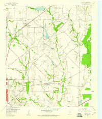 1959 Rowlett1960 Print · USGSThe Rowlett and Garland area of North Texas is captured here in the late fifties, showcasing a rural landscape before its rapid suburban transformation. Genealogists and historians can trace family-named sites like Watson Sch, McShan Cem, and the settlement of Dalrock.6 unique versions available
 - 1959 Map of Wylie, 1961 Print
 1959 Wylie1961 Print · USGSCollin County during the late fifties shows the rising importance of water management and rail transit in North Texas. Genealogists and local historians can locate many family sites, from the St Paul Cem to the railroad junction at Wylie and the community of Winningkoff.4 unique versions available
 - 1959 Map of Garland, 1963 Print
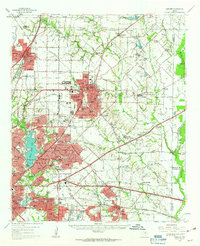 1959 Garland1963 Print · USGSEastern Dallas County is captured in the late fifties as small towns begin to merge into a growing suburban landscape. Genealogists and historians can trace local family roots at Blewett Cem and see the early footprints of Richardson, Sunnyvale, and the White Rock Airport.
 - 1963 Map of Lavon, 1964 Print
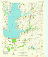 1963 Lavon1964 Print · USGSCollin County enters a new era of development in the 1960s as the rising waters of Lavon Reservoir create new shorelines. Genealogists and local historians can trace early settlements and family plots like Copeville, Nevada, and the IOOF Cem.3 unique versions available
 - 1985 Map of McKinney
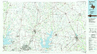 1985 McKinney1985 Print · USGSNorth Texas in the mid-1980s was a landscape of rural communities connected by a complex web of railroads and creek systems. Researchers can trace family roots through settlements like Westminster, find local landmarks like Henslee Chapel, or map the industrial activity at various Gravel Pits.2 unique versions available
 - 1986 Map of Dallas
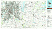 1986 Dallas1986 Print · USGSThe North Texas metropolitan landscape comes into focus during the mid-eighties as urban growth expands toward the eastern reservoirs. Researchers can trace historic cemeteries like Oak Cliff Cem, rail corridors of the Texas & Pacific RR, and landmarks such as Southern Methodist University.3 unique versions available
 - 1995 Map of Rowlett, 2002 Print
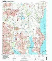 1995 Rowlett2002 Print · USGSRowlett and the surrounding lakefront communities are shown in a period of rapid growth during the mid-nineties. Genealogists and local historians can trace legacy sites like Pleasant Valley Cem and Liberty Grove alongside the developing shores of Lake Ray Hubbard.
 - 2010 Map of Lavon, 2010 Print
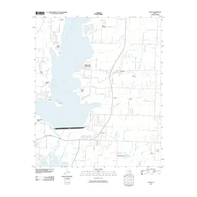 2010 Lavon2010 Print · USGSCollin County's landscape is defined by the massive reservoir at the start of the 2010s, as rural farmland meets lakeside residential growth. Researchers can locate several historic burial sites like Backbone Cemetery and Thompson Cemetery or trace the early paths of Copeville and Lavon.
 - 2010 Map of Rowlett, 2010 Print
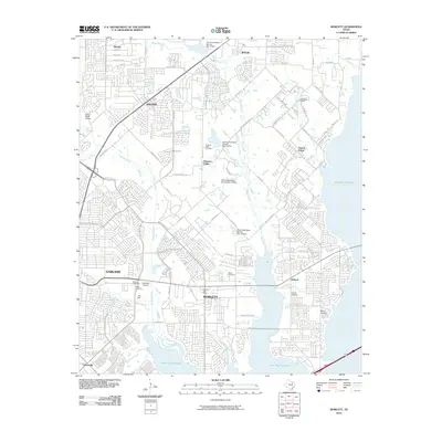 2010 Rowlett2010 Print · USGSThe North Texas suburbs meet the waters of Lake Ray Hubbard in this 2010 survey of the area north of Dallas. Trace the changing landscape through numerous historic burial sites like McShan Cemetery, Big A Cemetery, and the Rowlett Post Office.
 - 2010 Map of Wylie, 2010 Print
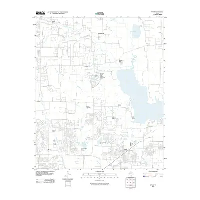 2010 Wylie2010 Print · USGSCollin County's suburban transformation is on full display here in the early 2000s as residential growth meets the shores of Lavon Lake. Family historians can locate several historic burial grounds, including the Fitzhugh Cemetery, Moulden Cemetery, and Hughes Cemetery.
 - 2012 Map of Rowlett, 2012 Print
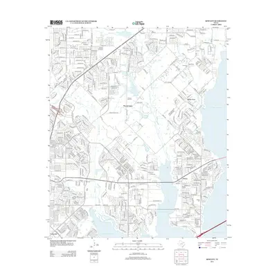 2012 Rowlett2012 Print · USGSThe eastern suburbs of Dallas come into focus in this early 2010s survey, showing the deep integration of residential life with the waters of Lake Ray Hubbard. Genealogists and local historians can locate numerous burial sites such as Cottonwood Cem and Garland Cem amidst the growth of Liberty Grove and Pleasant Valley.
 - 2013 Map of Wylie, 2013 Print
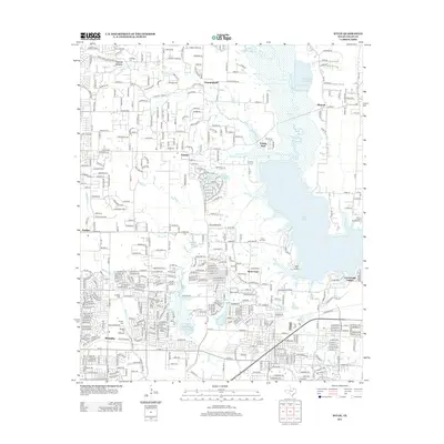 2013 Wylie2013 Print · USGSCollin County's lake-oriented communities are captured here in the early twenty-first century as suburban growth surrounds the shoreline of Lavon Lake. Genealogists can trace family sites at the Fitzhugh Cem and Saint Paul Cem near the historic settlements of Winningkoff and Saint Paul.
 - 2013 Map of Lavon, 2013 Print
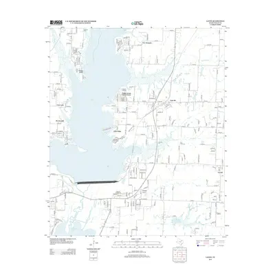 2013 Lavon2013 Print · USGSCollin County's landscape is defined by the massive reach of Lavon Lake and its surrounding prairie communities in the early twenty-first century. Researchers can trace local heritage through numerous burial sites like Thompson Cem and Bear Creek Cem or locate homesites in Copeville and Little Ridge.
 - 2016 Map of Lavon, 2016 Print
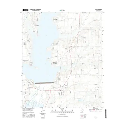 2016 Lavon2016 Print · USGSCollin County's eastern landscape is defined here by the vast reach of Lavon Lake and its growing residential shoreline. Local historians can trace established communities like Nevada and Copeville alongside several country burial sites including Backbone Cem and Clear Lake Cem.
 - 2016 Map of Wylie, 2016 Print
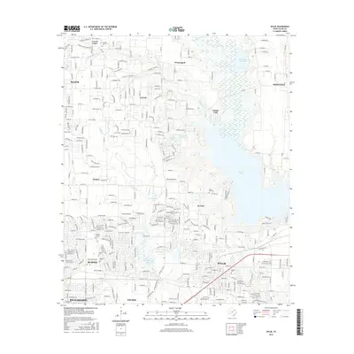 2016 Wylie2016 Print · USGSCollin County during a period of rapid suburban growth maintains its connection to the past through its waters and cemeteries. Researchers can trace ancestral sites at Fitzhugh Cem and Murphy Cem or explore the vast shores of Lavon Lake.
Showing maps 1-25 of 32
Top cities near Wylie
- Dallas historical maps
- Plano historical maps
- Garland historical maps
- Frisco historical maps
- McKinney historical maps
- Mesquite historical maps
See more
Frequently asked questions
- What are the different types of historical maps available for Wylie?
- What is the oldest map of Wylie?
- Where can I purchase historical maps of Wylie for my home or office?
- Where can I download high-res historical maps of Wylie?
- Are there historical topographic maps available for Wylie?
- Is there historical aerial imagery available for Wylie?
- Where are historical maps of Wylie sourced from?