Old Maps of Hasse, Texas for Hiking & Exploration
Hike through history with 11 historic maps of Hasse. Explore old trails, ghost towns, and forgotten backroads — perfect for outdoor adventurers and local explorers.
- Rediscover forgotten places: Map out old mining camps, roads, and footpaths that no longer exist on modern maps.
- Layer with modern tools: Combine with LiDAR or satellite views to plan hikes through historical terrain.
- Made for exploration: Popular among hikers, overlanders, and local history lovers.
Use these maps to find adventure and explore the hidden past of Hasse.
Hasse, TX maps
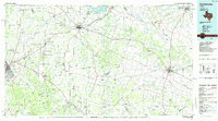
(11)- 1888 Map of Hamilton
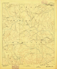 1888 Hamilton1888 Print · USGSCentral Texas during the 1880s is captured here at a moment of early frontier growth and agricultural settlement. Researchers can trace the original locations of rural centers like Gentry Mill, Pottsville, and the remote post office at Indian Gap.
 - 1894 Map of Hamilton
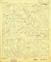 1894 Hamilton1894 Print · USGSCentral Texas ranching and farming communities are captured here in the 1890s, just after the initial frontier period. Genealogists can locate family-named landmarks and early settlements like Gentry Mill, Indian Gap, and Hazle Dell along the Leon River.5 unique versions available
 - 1954 Map of Brownwood, 1955 Print
 1954 Brownwood1955 Print · USGSCentral Texas in the early fifties shows a landscape of rail-linked cattle towns and winding river valleys before modern highway expansion. Genealogists and historians can trace family-named peaks and vanished rail stops like Trickham, Santa Anna, and the Brady Mountains.3 unique versions available
 - 1956 Map of Gustine
 1956 Gustine1956 Print · USGSMid-century Comanche County is seen here just as the highway network was being formalized around the Leon River valley. Genealogists can trace family names through numerous rural sites like Graham Chapel Cem, Energy Sch, and the town of Gustine.
 - 1956 Map of Proctor, 1957 Print
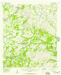
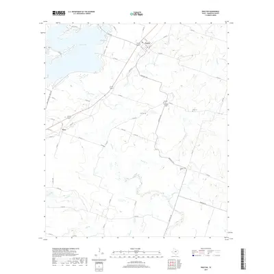
 1956 Proctor1957 Print · USGSIn the mid-1950s, the Comanche County landscape was a network of rail-side towns and riverbottom farms. Researchers can trace family history at Graham Chapel Cem or locate former community hubs like Hasse Sch (Abnd) and Board Ch.2 unique versions available
 - 1985 Map of Comanche
 1985 Comanche1985 Print · USGSCentral Texas in the mid-eighties shows a landscape of established ranching towns and expanding reservoirs. Trace the family-named gaps and summits from Mercers Gap to Hog Mountains, alongside smaller settlements like Gentrys Mill and Hazeldell.2 unique versions available
 - 2010 Map of Proctor, 2010 Print
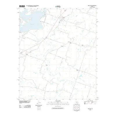 2010 Proctor2010 Print · USGSCovers Hasse, including Proctor, Comanche County, and other nearby areas
 - 2012 Map of Proctor, 2012 Print
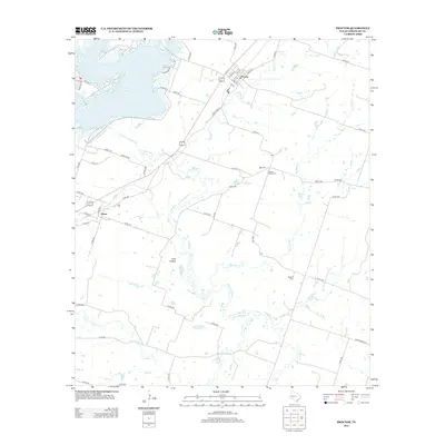 2012 Proctor2012 Print · USGSCovers Hasse, including Proctor, Comanche County, and other nearby areas
 - 2016 Map of Proctor, 2016 Print
 2016 Proctor2016 Print · USGSCovers Hasse, including Proctor, Comanche County, and other nearby areas
 - 2019 Map of Proctor, 2019 Print
 2019 Proctor2019 Print · USGSCovers Hasse, including Proctor, Comanche County, and other nearby areas
 - 2022 Map of Proctor, 2022 Print
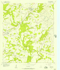
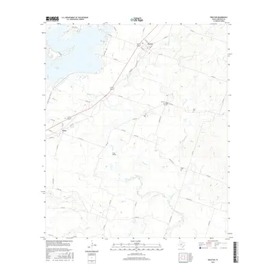
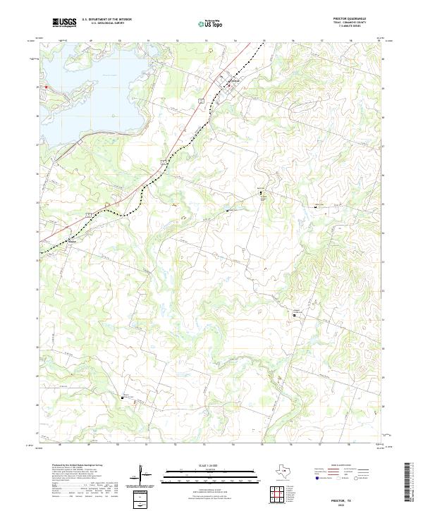 2022 Proctor2022 Print · USGSComanche County landscape in the early 2020s shows a rural Texas community centered around Proctor Lake and the winding Leon River. Researchers can locate several historic burial grounds and churches including Board Church Cem, Luker Cem, and the settlement of Hasse.
End of results
Showing maps 1-11 of 11
Top cities near Hasse
Frequently asked questions
- What are the different types of historical maps available for Hasse?
- What is the oldest map of Hasse?
- Where can I purchase historical maps of Hasse for my home or office?
- Where can I download high-res historical maps of Hasse?
- Are there historical topographic maps available for Hasse?
- Is there historical aerial imagery available for Hasse?
- Where are historical maps of Hasse sourced from?