Old Maps of Paducah, Texas
Explore 9 old maps of Paducah, spanning from 1954 to today. These high-resolution historic maps reveal how streets, neighborhoods, landmarks, and natural features evolved over time — perfect for genealogy, metal detecting, research, and local history exploration.
What you can do with these maps:
- See how Paducah changed over time: Compare historical maps to modern-day views to trace roads, homesites, rail lines & more.
- View detailed metadata: Each map includes creators, publishers, year, scale, and archive source.
- Overlay maps with satellite & LiDAR: Visualize the past alongside modern tools to explore terrain & human change.
- Trusted historical sources: Maps sourced from the USGS, Library of Congress, and other archives.
- Access maps your way: View online, download high-res files, or order prints for personal or research use.
Start exploring old maps of Paducah to uncover forgotten places, hidden landmarks, and the deep history beneath your feet.
Paducah, TX maps
(9)- 1954 Map of Plainview, 1966 Print
 1954 Plainview1966 Print · USGSThe Texas Panhandle and the rugged Caprock Escarpment appear in detail as the region's agricultural and rail networks reached their mid-century peak. Trace family roots and old land patterns through the canyons and plains near Plainview, Palo Duro State Park, and Childress.3 unique versions available
 - 1958 Map of Plainview
 1958 Plainview1958 Print · USGSThe High Plains and Caprock Escarpment meet in the late fifties, showcasing the ranching and rail networks of the Texas Panhandle. Trace family roots and vanished stops along the Panhandle and Santa Fe railroad through Plainview, Silverton, and Matador.
 - 1967 Map of Paducah, 1970 Print
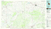
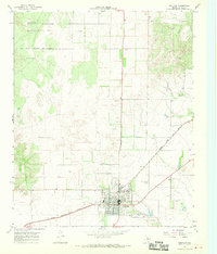 1967 Paducah1970 Print · USGSPaducah and the surrounding Cottle County ranch lands are captured here in the late sixties, showing the town at a crossroads of rail and air. Researchers can trace the QUANAH ACME AND PACIFIC railroad and locate the Garden of Memories (Cem) or the Fairberry Windmill.2 unique versions available
 - 1986 Map of Childress
 1986 Childress1986 Print · USGSTexas ranching and conservation lands come to life in this mid-eighties survey of the Pease River country. Genealogists and historians can trace family roots through Matador, find the Matador Cem, or locate the Burlington Northern line through Childress.2 unique versions available
 - 2010 Map of Paducah, 2010 Print
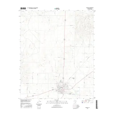
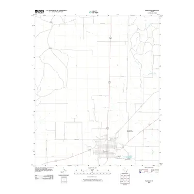 2010 Paducah2010 Print · USGSCovers Paducah, including Cottle County, United States, and other nearby areas
 - 2012 Map of Paducah, 2012 Print
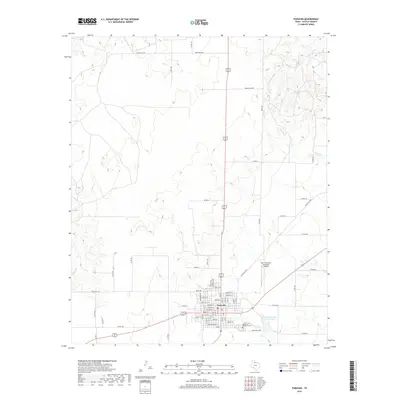
 2012 Paducah2012 Print · USGSCovers Paducah, including Cottle County, United States, and other nearby areas
 - 2016 Map of Paducah, 2016 Print
 2016 Paducah2016 Print · USGSCovers Paducah, including Cottle County, United States, and other nearby areas
 - 2019 Map of Paducah, 2019 Print
 2019 Paducah2019 Print · USGSCovers Paducah, including Cottle County, United States, and other nearby areas
 - 2022 Map of Paducah, 2022 Print
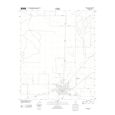
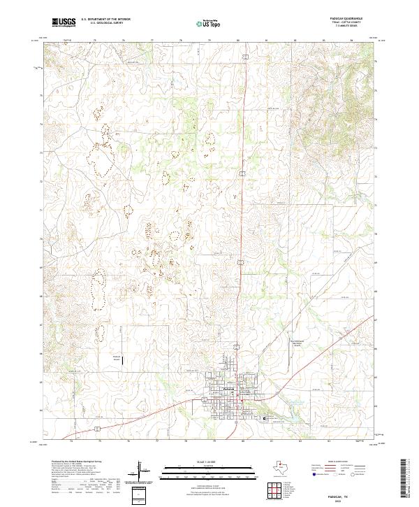 2022 Paducah2022 Print · USGSPaducah remains the enduring hub of Cottle County in the early twenty-first century, anchored by its civic and aviation history. Researchers can trace the town’s layout from the Cottle County Courthouse to the Garden of Memories Cem and Paducah Golf Club Lake.
End of results
Showing maps 1-9 of 9
Frequently asked questions
- What are the different types of historical maps available for Paducah?
- What is the oldest map of Paducah?
- Where can I purchase historical maps of Paducah for my home or office?
- Where can I download high-res historical maps of Paducah?
- Are there historical topographic maps available for Paducah?
- Is there historical aerial imagery available for Paducah?
- Where are historical maps of Paducah sourced from?