Old Maps of Crosby County, Texas for Hiking & Exploration
Hike through history with 43 historic maps of Crosby County. Explore old trails, ghost towns, and forgotten backroads — perfect for outdoor adventurers and local explorers.
- Rediscover forgotten places: Map out old mining camps, roads, and footpaths that no longer exist on modern maps.
- Layer with modern tools: Combine with LiDAR or satellite views to plan hikes through historical terrain.
- Made for exploration: Popular among hikers, overlanders, and local history lovers.
Use these maps to find adventure and explore the hidden past of Crosby County.
Crosby County, TX maps
(43)- 1954 Map of Lubbock, 1958 Print
 1954 Lubbock1958 Print · USGSThe High Plains and Caprock region of West Texas come alive in the mid-1950s, showing a landscape defined by oil discovery and the Brazos River headwaters. Genealogists and historians can trace rail-connected towns like Roaring Springs, find the Pleasant Valley church, or locate family-named landmarks such as Soldier Mound.4 unique versions available
 - 1961 Map of Bunker Hill, 1963 Print
 1961 Bunker Hill1963 Print · USGSCrosby County and Dickens County were largely open rangeland in the early sixties, defined by the deep winding cuts of the White River. Local historians can trace cattle-country landmarks like Snow Tank, Poe Hollow, and the prominent Bunker Hill.
 - 1962 Map of Smith Tank, 1963 Print
 1962 Smith Tank1963 Print · USGSThe High Plains of West Texas are captured here in the early sixties during a period of major hydrological change. Researchers can trace the new shoreline of the White River Reservoir and locate landmarks like the White River Dam and Smith Tank.2 unique versions available
 - 1965 Map of Acuff, 1966 Print
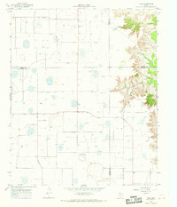
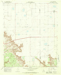
 1965 Acuff1966 Print · USGSThe Lubbock and Crosby county line during the mid-sixties shows a landscape shaped by petroleum and agricultural development. Genealogists and local historians can trace family-named roads and rural hubs like Acuff, Robertson, and the Ha-Na Field.
 - 1965 Map of Slaton NE, 1966 Print
 1965 Slaton NE1966 Print · USGSThe West Texas caprock country comes into focus in the mid-1960s as the rail lines and ranch lands around Lubbock County were being mapped in detail. Genealogists and local historians can trace the tracks of the Atchison Topeka and Santa Fe and locate family-named landmarks like Wood Ranch or the Katy K Ranch.2 unique versions available
 - 1965 Map of Petersburg, 1966 Print
 1965 Petersburg1966 Print · USGSThe South Plains of West Texas appear in the mid-1960s as a landscape of rural town centers and rail-side industry. Genealogists and historians can trace the Petersburg townsite and Estacado settlement, or locate the local Cemetery and the Fort Worth and Denver railroad.
 - 1965 Map of Lorenzo, 1966 Print
 1965 Lorenzo1966 Print · USGSTexas high plains life in the mid-sixties centered on the rail lines and agricultural hubs near the Lubbock County line. Genealogists and local historians can trace the foundations of Lorenzo through its Lorenzo Cem, Cotton Gin, and the Ralph Bunche Sch.
 - 1965 Map of Cone, 1968 Print
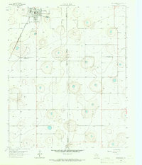
 1965 Cone1968 Print · USGSThe High Plains along the Crosby and Floyd county line come into focus during the mid-sixties, revealing a landscape of grid-aligned farms and small hamlets. Genealogists can locate the Cone Cem, Cone Elem Sch, and the quiet settlements of Farmer and Mc Coy.
 - 1965 Map of Floydada SE, 1968 Print
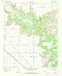
 1965 Floydada SE1968 Print · USGSThe High Plains of the Texas Panhandle meet the deep breaks of the Blanco Canyon in the mid-sixties. Local historians can trace family-named outposts like Montgomery Ranch and the Lakeview Cem near the White River.
 - 1965 Map of Wake, 1968 Print
 1965 Wake1968 Print · USGSCrosby County and its neighbors meet on the edge of the Caprock in the mid-1960s, showing a landscape defined by ranching and groundwater. Genealogists and local historians can locate the Wake settlement, trace the Rustler Creek breaks, and find Antelope Cem.
 - 1966 Map of Cap Rock, 1968 Print
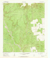
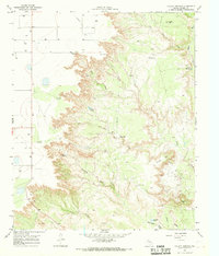
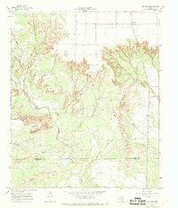 1966 Cap Rock1968 Print · USGSThe West Texas escarpment near the Crosby and Garza county line was a landscape of oil exploration and dramatic river breaks in the mid-1960s. Genealogists and historians can trace the Forbes Oil Field, the isolated Cap Rock settlement, and landmarks like Courthouse Mtn.
 - 1966 Map of Crosbyton, 1968 Print
 1966 Crosbyton1968 Print · USGSCrosby County and the breaks of the White River are captured here in the mid-sixties as the town of Crosbyton thrived on the plains. You can trace the Atchison Topeka and Santa Fe rail line and locate landmarks like Camp Rio Blanco and Silver Falls.
 - 1966 Map of Kalgary, 1968 Print
 1966 Kalgary1968 Print · USGSThe Crosby County line meets Garza County in the mid-1960s, a period when rural ranching and water infrastructure dominated the landscape. Genealogists and local historians can trace the remote settlement of Kalgary and follow the paths of McDonald Creek and the expansive Aqueduct.
 - 1966 Map of Mount Blanco, 1968 Print
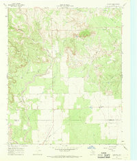
 1966 Mount Blanco1968 Print · USGSTexas High Plains and canyon country meet in the mid-1960s as cattle ranching and early irrigation define the border of Floyd and Crosby Counties. Researchers can trace the winding Blanco Canyon to find Mount Blanco, Heim, and the Meadow Windmill.
 - 1966 Map of McAdoo, 1968 Print
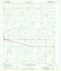
 1966 McAdoo1968 Print · USGSThe West Texas caprock meets the canyon breaks in the mid-1960s near the Crosby and Dickens County line. Genealogists and researchers can trace local landmarks like Pansy Ch, McAdoo Cem, and the small settlement of Broadway.
 - 1966 Map of Collett Springs, 1968 Print
 1966 Collett Springs1968 Print · USGSCrosby County is shown in the mid-1960s as a land of windmills and deep canyon breaks. Researchers can trace cattle-country infrastructure like Spindle Top Windmill, the Blue Hole, and early industrial sites including a local Claypit.
 - 1966 Map of Canyon Valley, 1969 Print
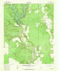
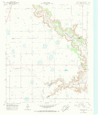
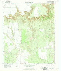 1966 Canyon Valley1969 Print · USGSThe West Texas Caprock breaks are captured here in the mid-1960s, showing the rugged transition from high plains to river bottom. Researchers can trace the Salt Fork Brazos River and find the rural settlement of Canyon Valley.
 - 1967 Map of Ralls SE, 1968 Print
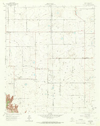
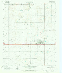
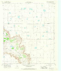
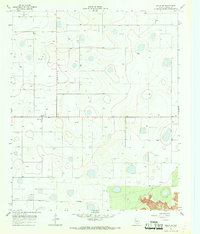 1967 Ralls SE1968 Print · USGSCrosby County farming reached its peak of groundwater development in the late sixties as irrigation transformed the High Plains. Genealogists and local historians can locate the settlement of Owens, the central Water Tank, and a local Landing Strip.
 - 1967 Map of Ralls NE, 1968 Print
 1967 Ralls NE1968 Print · USGSCrosby County in the late sixties reveals a landscape of intensive irrigation and rail-connected settlements. Genealogists and researchers can locate Fairview Sch, trace the Atchison Topeka and Santa Fe line, or explore the fringes of Ralls and Crosbyton.2 unique versions available
 - 1967 Map of Ralls, 1968 Print
 1967 Ralls1968 Print · USGSThe High Plains of West Texas are captured here in the late sixties, centered on the railroad town of Ralls. Genealogists and historians can trace the town’s development via the High Sch, the local Cemetery, and the Atchison Topeka and Santa Fe rail line.
 - 1967 Map of Savage, 1968 Print
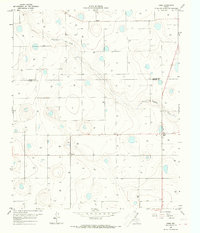
 1967 Savage1968 Print · USGSCrosby County is depicted here in the late sixties, a landscape defined by the agricultural rhythms of the High Plains. Genealogists and local historians can locate the Old Emma Cem and trace the rural infrastructure of Savage, including its Landing Strip and Gravel Pits.
 - 1986 Map of Slaton
 1986 Slaton1986 Print · USGSThe Llano Estacado meets the rolling breaks of the Brazos River in the mid-1980s as the region's ranching and rail roots remain visible. Trace the path of the Atchison Topeka and Santa Fe through Post or locate Guthrie Lake and Wilson.2 unique versions available
 - 1986 Map of Lubbock
 1986 Lubbock1986 Print · USGSLubbock and the surrounding High Plains are documented in the mid-eighties as a structured grid of agricultural tracts and growing urban centers. Genealogists and local historians can trace family-named areas like Heckville, old rail stops on the Atchison Topeka and Santa Fe, and the winding path of Yellow House Canyon.2 unique versions available
 - 2022 Map of McAdoo, 2022 Print
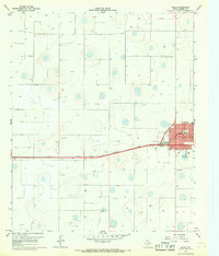
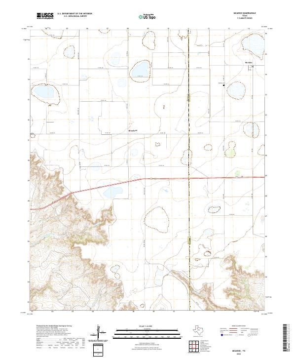 2022 McAdoo2022 Print · USGSCrosby and Dickens counties meet here on the edge of the Caprock during the early twenty-first century. Genealogists and local historians can trace family plots at McAdoo Cem or locate the rural hubs of McAdoo and Broadway.
 - 2022 Map of Floydada SE, 2022 Print
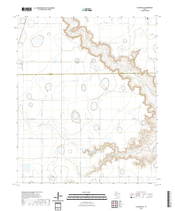 2022 Floydada SE2022 Print · USGSCrosby and Floyd Counties are seen here at the edge of the Llano Estacado during the early twenty-first century. Genealogists and researchers can trace the landscape around Lakeview Cem or follow the descent of White River into the depths of Blanco Canyon.
Showing maps 1-25 of 43
Top cities of Crosby County
Frequently asked questions
- What are the different types of historical maps available for Crosby County?
- What is the oldest map of Crosby County?
- Where can I purchase historical maps of Crosby County for my home or office?
- Where can I download high-res historical maps of Crosby County?
- Are there historical topographic maps available for Crosby County?
- Is there historical aerial imagery available for Crosby County?
- Where are historical maps of Crosby County sourced from?