Old Maps of Bonton, Dallas for Hiking & Exploration
Hike through history with 18 historic maps of Bonton. Explore old trails, ghost towns, and forgotten backroads — perfect for outdoor adventurers and local explorers.
- Rediscover forgotten places: Map out old mining camps, roads, and footpaths that no longer exist on modern maps.
- Layer with modern tools: Combine with LiDAR or satellite views to plan hikes through historical terrain.
- Made for exploration: Popular among hikers, overlanders, and local history lovers.
Use these maps to find adventure and explore the hidden past of Bonton.
Bonton, Dallas maps
(18)- 1891 Map of Dallas
 1891 Dallas1891 Print · USGSCovers Bonton, including Dallas, Plano, and other nearby areas
 - 1893 Map of Dallas
 1893 Dallas1893 Print · USGSCovers Bonton, including Dallas, Plano, and other nearby areas5 unique versions available
 - 1931 Map of Carrollton
 1931 Carrollton1931 Print · USGSCovers Bonton, including Dallas, Plano, and other nearby areas3 unique versions available
 - 1954 Map of Dallas, 1963 Print
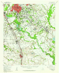
 1954 Dallas1963 Print · USGSCovers Bonton, including Dallas, Fort Worth, and other nearby areas4 unique versions available
 - 1957 Map of White Rock Lake, 1959 Print
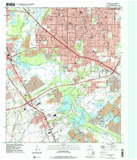
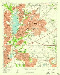 1957 White Rock Lake1959 Print · USGSCovers Bonton, including Dallas, Garland, and other nearby areas3 unique versions available
 - 1958 Map of Dallas
 1958 Dallas1958 Print · USGSCovers Bonton, including Dallas, Fort Worth, and other nearby areas
 - 1958 Map of Hutchins, 1959 Print
 1958 Hutchins1959 Print · USGSCovers Bonton, including Dallas, Mesquite, and other nearby areas5 unique versions available
 - 1958 Map of Oak Cliff, 1959 Print
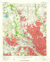
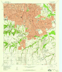 1958 Oak Cliff1959 Print · USGSCovers Bonton, including Dallas, DeSoto, and other nearby areas5 unique versions available
 - 1958 Map of Dallas, 1959 Print
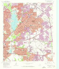
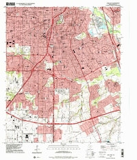
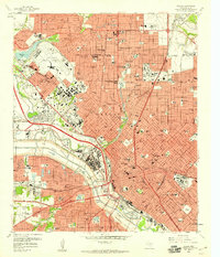 1958 Dallas1959 Print · USGSCovers Bonton, including Dallas, University Park, and other nearby areas7 unique versions available
 - 1958 Map of White Rock Lake, 1974 Print
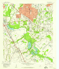
 1958 White Rock Lake1974 Print · USGSCovers Bonton, including Dallas, Garland, and other nearby areas2 unique versions available
 - 1959 Map of Seagoville, 1962 Print
 1959 Seagoville1962 Print · USGSCovers Bonton, including Dallas, Mesquite, and other nearby areas
 - 1959 Map of Garland, 1963 Print
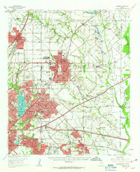 1959 Garland1963 Print · USGSCovers Bonton, including Dallas, Plano, and other nearby areas
 - 1959 Map of Carrollton, 1963 Print
 1959 Carrollton1963 Print · USGSCovers Bonton, including Dallas, Plano, and other nearby areas
 - 1986 Map of Dallas
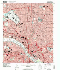
 1986 Dallas1986 Print · USGSCovers Bonton, including Dallas, Plano, and other nearby areas3 unique versions available
 - 1995 Map of Oak Cliff, 2001 Print
 1995 Oak Cliff2001 Print · USGSCovers Bonton, including Dallas, DeSoto, and other nearby areas
 - 1995 Map of Hutchins, 2001 Print
 1995 Hutchins2001 Print · USGSCovers Bonton, including Dallas, Mesquite, and other nearby areas
 - 1995 Map of Dallas, 2001 Print
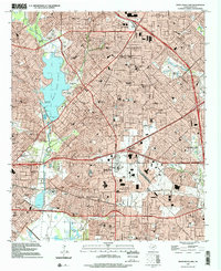
 1995 Dallas2001 Print · USGSCovers Bonton, including Dallas, University Park, and other nearby areas
 - 1995 Map of White Rock Lake, 2002 Print
 1995 White Rock Lake2002 Print · USGSCovers Bonton, including Dallas, Garland, and other nearby areas
End of results
Showing maps 1-18 of 18
Frequently asked questions
- What are the different types of historical maps available for Bonton?
- What is the oldest map of Bonton?
- Where can I purchase historical maps of Bonton for my home or office?
- Where can I download high-res historical maps of Bonton?
- Are there historical topographic maps available for Bonton?
- Is there historical aerial imagery available for Bonton?
- Where are historical maps of Bonton sourced from?