Old Maps of Bonton, Dallas for Metal Detecting
Plan your next treasure hunt with 18 historic maps of Bonton. Find old homesites, ghost towns, trails, and gathering spots that may be lost to time — perfect for identifying promising metal detecting locations.
- Locate forgotten sites: Uncover places like long-lost settlements, abandoned rail lines, or gathering spots.
- Plan better hunts: Use map overlays combined with LiDAR or satellite views to narrow in on historically rich areas.
- Made for detectorists: Thousands of hobbyists use these maps to discover relics, coins, and hidden history.
Use these historic maps to boost your research and find new opportunities beneath the surface of Bonton.
Bonton, Dallas maps
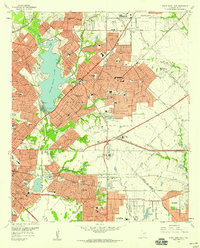
(18)- 1891 Map of Dallas
 1891 Dallas1891 Print · USGSCovers Bonton, including Dallas, Plano, and other nearby areas
 - 1893 Map of Dallas
 1893 Dallas1893 Print · USGSCovers Bonton, including Dallas, Plano, and other nearby areas5 unique versions available
 - 1931 Map of Carrollton
 1931 Carrollton1931 Print · USGSCovers Bonton, including Dallas, Plano, and other nearby areas3 unique versions available
 - 1954 Map of Dallas, 1963 Print
 1954 Dallas1963 Print · USGSCovers Bonton, including Dallas, Fort Worth, and other nearby areas4 unique versions available
 - 1957 Map of White Rock Lake, 1959 Print
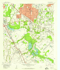
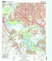
 1957 White Rock Lake1959 Print · USGSCovers Bonton, including Dallas, Garland, and other nearby areas3 unique versions available
 - 1958 Map of Dallas
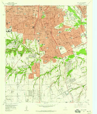
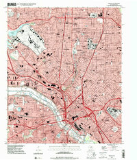
 1958 Dallas1958 Print · USGSCovers Bonton, including Dallas, Fort Worth, and other nearby areas
 - 1958 Map of Hutchins, 1959 Print
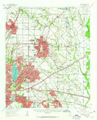
 1958 Hutchins1959 Print · USGSCovers Bonton, including Dallas, Mesquite, and other nearby areas5 unique versions available
 - 1958 Map of Oak Cliff, 1959 Print
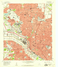
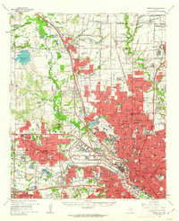
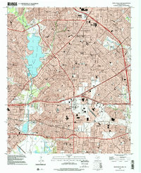
 1958 Oak Cliff1959 Print · USGSCovers Bonton, including Dallas, DeSoto, and other nearby areas5 unique versions available
 - 1958 Map of Dallas, 1959 Print
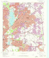
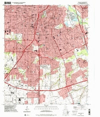
 1958 Dallas1959 Print · USGSCovers Bonton, including Dallas, University Park, and other nearby areas7 unique versions available
 - 1958 Map of White Rock Lake, 1974 Print
 1958 White Rock Lake1974 Print · USGSCovers Bonton, including Dallas, Garland, and other nearby areas2 unique versions available
 - 1959 Map of Seagoville, 1962 Print
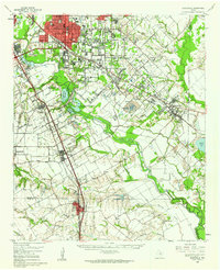 1959 Seagoville1962 Print · USGSCovers Bonton, including Dallas, Mesquite, and other nearby areas
 - 1959 Map of Garland, 1963 Print
 1959 Garland1963 Print · USGSCovers Bonton, including Dallas, Plano, and other nearby areas
 - 1959 Map of Carrollton, 1963 Print
 1959 Carrollton1963 Print · USGSCovers Bonton, including Dallas, Plano, and other nearby areas
 - 1986 Map of Dallas
 1986 Dallas1986 Print · USGSCovers Bonton, including Dallas, Plano, and other nearby areas3 unique versions available
 - 1995 Map of Oak Cliff, 2001 Print
 1995 Oak Cliff2001 Print · USGSCovers Bonton, including Dallas, DeSoto, and other nearby areas
 - 1995 Map of Hutchins, 2001 Print
 1995 Hutchins2001 Print · USGSCovers Bonton, including Dallas, Mesquite, and other nearby areas
 - 1995 Map of Dallas, 2001 Print
 1995 Dallas2001 Print · USGSCovers Bonton, including Dallas, University Park, and other nearby areas
 - 1995 Map of White Rock Lake, 2002 Print
 1995 White Rock Lake2002 Print · USGSCovers Bonton, including Dallas, Garland, and other nearby areas
End of results
Showing maps 1-18 of 18
Frequently asked questions
- What are the different types of historical maps available for Bonton?
- What is the oldest map of Bonton?
- Where can I purchase historical maps of Bonton for my home or office?
- Where can I download high-res historical maps of Bonton?
- Are there historical topographic maps available for Bonton?
- Is there historical aerial imagery available for Bonton?
- Where are historical maps of Bonton sourced from?