Old Maps of Tenmile, Texas for Metal Detecting
Plan your next treasure hunt with 9 historic maps of Tenmile. Find old homesites, ghost towns, trails, and gathering spots that may be lost to time — perfect for identifying promising metal detecting locations.
- Locate forgotten sites: Uncover places like long-lost settlements, abandoned rail lines, or gathering spots.
- Plan better hunts: Use map overlays combined with LiDAR or satellite views to narrow in on historically rich areas.
- Made for detectorists: Thousands of hobbyists use these maps to discover relics, coins, and hidden history.
Use these historic maps to boost your research and find new opportunities beneath the surface of Tenmile.
Tenmile, TX maps
(9)- 1954 Map of Big Spring, 1965 Print
 1954 Big Spring1965 Print · USGSWest Texas in the mid-1950s shows a landscape of growing oil towns and vital rail links along the Texas and Pacific RR. Researchers can trace the development of Big Spring, find smaller settlements like Knott and Lomax, or locate landmarks such as Boyds Chapel and Signal Mountain.4 unique versions available
 - 1958 Map of Big Spring
 1958 Big Spring1958 Print · USGSThe West Texas oil boom was in full swing during the late fifties, transforming the landscape around Howard and Mitchell counties. Genealogists and historians can trace the growth of Big Spring and Snyder alongside industrial landmarks like the Kelly-Snyder Oil Field and the Santa Fe rail lines.
 - 1970 Map of Tenmile, 1973 Print
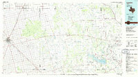
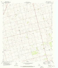 1970 Tenmile1973 Print · USGSDawson and Martin Counties are captured during a period of significant petroleum development in the early seventies. Genealogists and industrial historians can trace the foundations of Klondike and its High Sch alongside the sprawling Tex Hamon Oil Field.
 - 1986 Map of Lamesa
 1986 Lamesa1986 Print · USGSWest Texas in the mid-eighties reveals a landscape of massive oil fields and cattle country where the High Plains drop off toward the Colorado River. Genealogists and historians can trace rail-side towns like O'Donnell and Fluvanna, or locate petroleum landmarks such as the Diamond M Oil Field and Jo Mill Oil Field.2 unique versions available
 - 2010 Map of Tenmile, 2010 Print
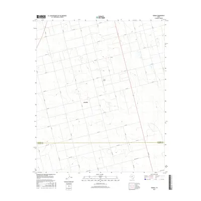
 2010 Tenmile2010 Print · USGSCovers Tenmile, including Klondike, Martin County, and other nearby areas
 - 2012 Map of Tenmile, 2012 Print
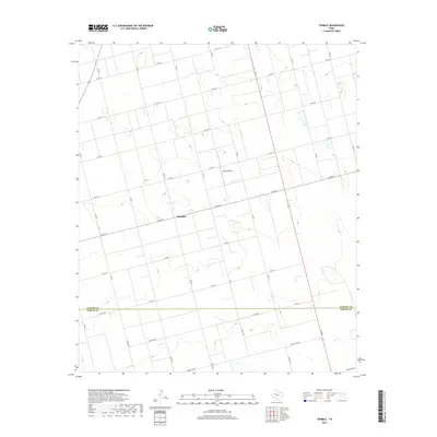
 2012 Tenmile2012 Print · USGSCovers Tenmile, including Klondike, Martin County, and other nearby areas
 - 2016 Map of Tenmile, 2016 Print
 2016 Tenmile2016 Print · USGSCovers Tenmile, including Klondike, Martin County, and other nearby areas
 - 2019 Map of Tenmile, 2019 Print
 2019 Tenmile2019 Print · USGSCovers Tenmile, including Klondike, Martin County, and other nearby areas
 - 2022 Map of Tenmile, 2022 Print
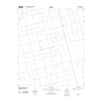
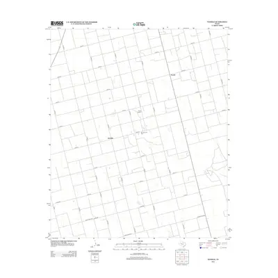
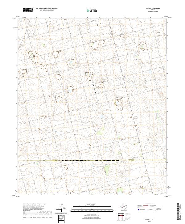 2022 Tenmile2022 Print · USGSThe West Texas high plains of the Llano Estacado are surveyed here in 2022, capturing the rural community of Klondike and the Dawson Co line. Researchers can trace land divisions and local landmarks like Thorp Airport and Farm Rd 2002-E.
End of results
Showing maps 1-9 of 9
Top cities near Tenmile
Frequently asked questions
- What are the different types of historical maps available for Tenmile?
- What is the oldest map of Tenmile?
- Where can I purchase historical maps of Tenmile for my home or office?
- Where can I download high-res historical maps of Tenmile?
- Are there historical topographic maps available for Tenmile?
- Is there historical aerial imagery available for Tenmile?
- Where are historical maps of Tenmile sourced from?